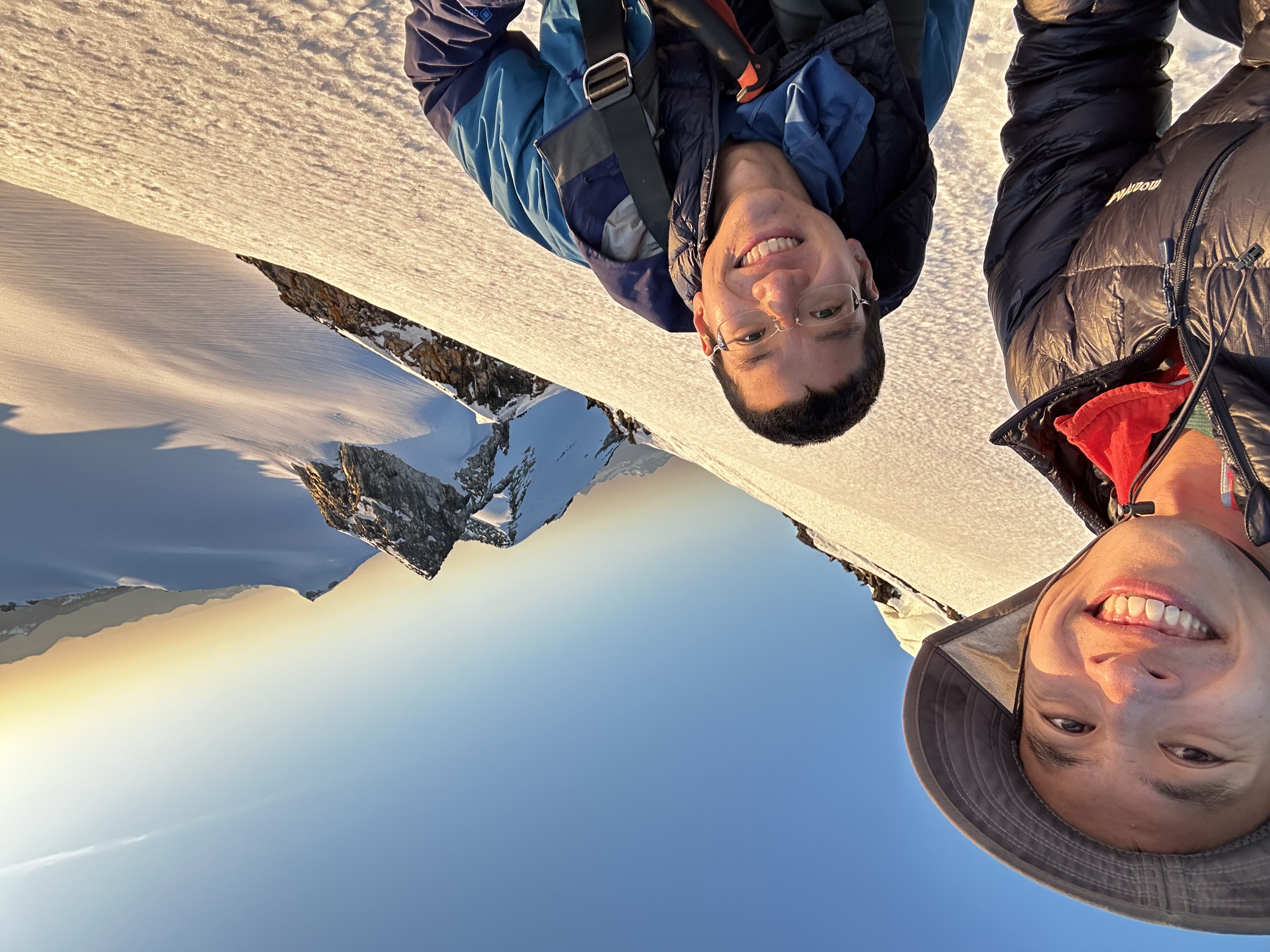
Snowking Mountain
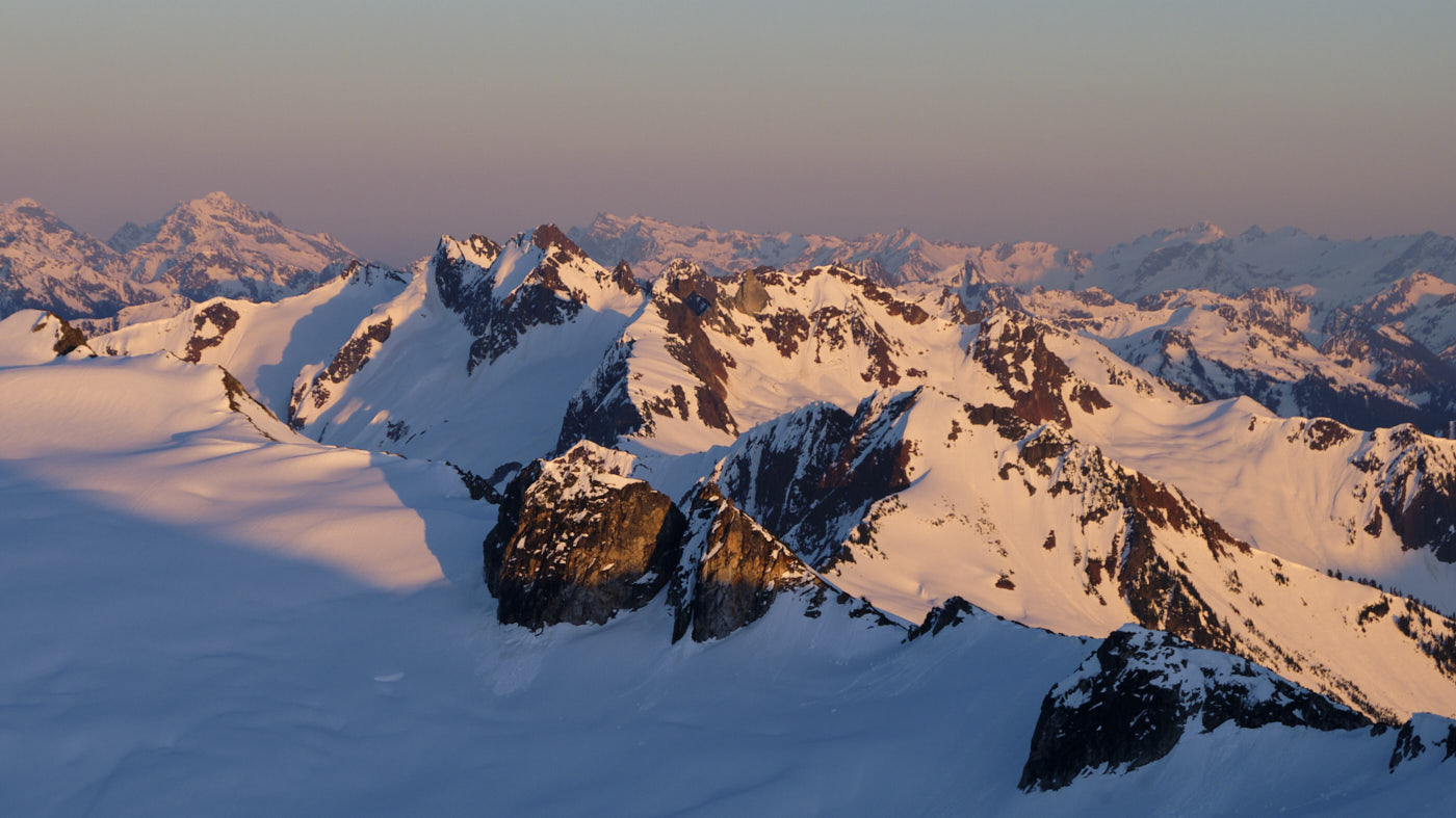
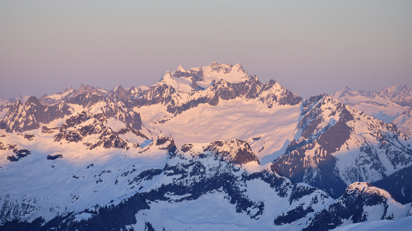
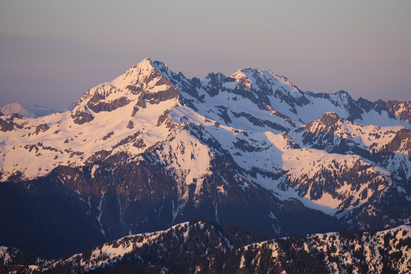
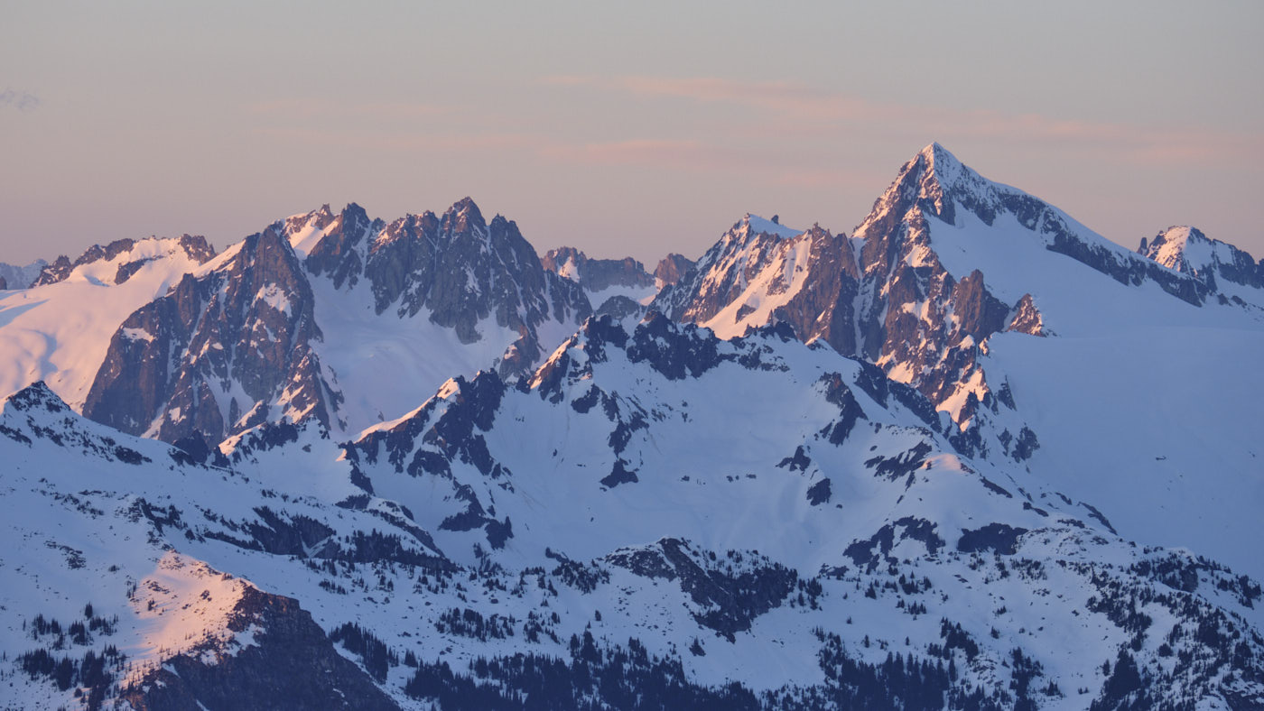
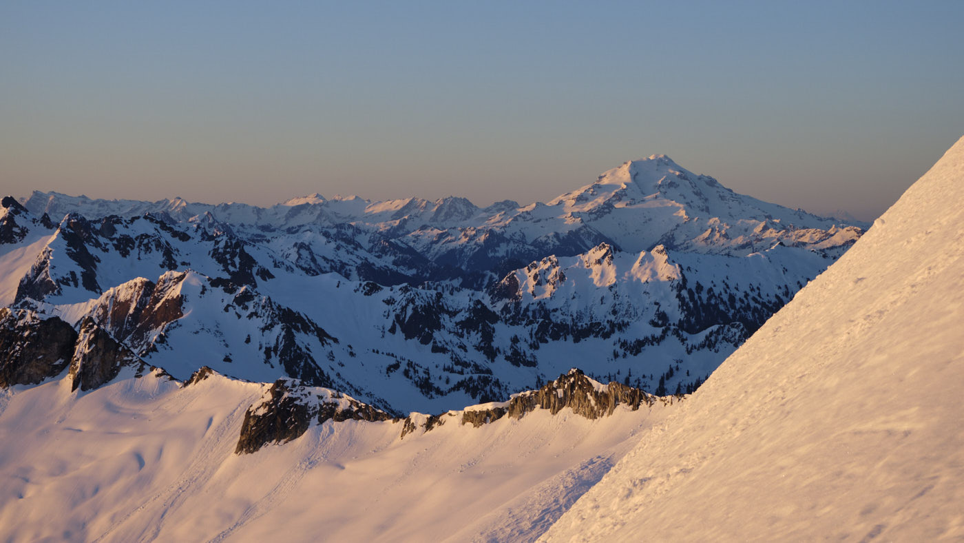
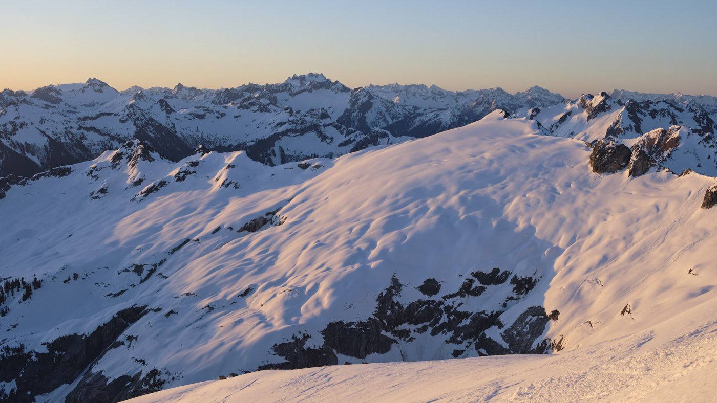
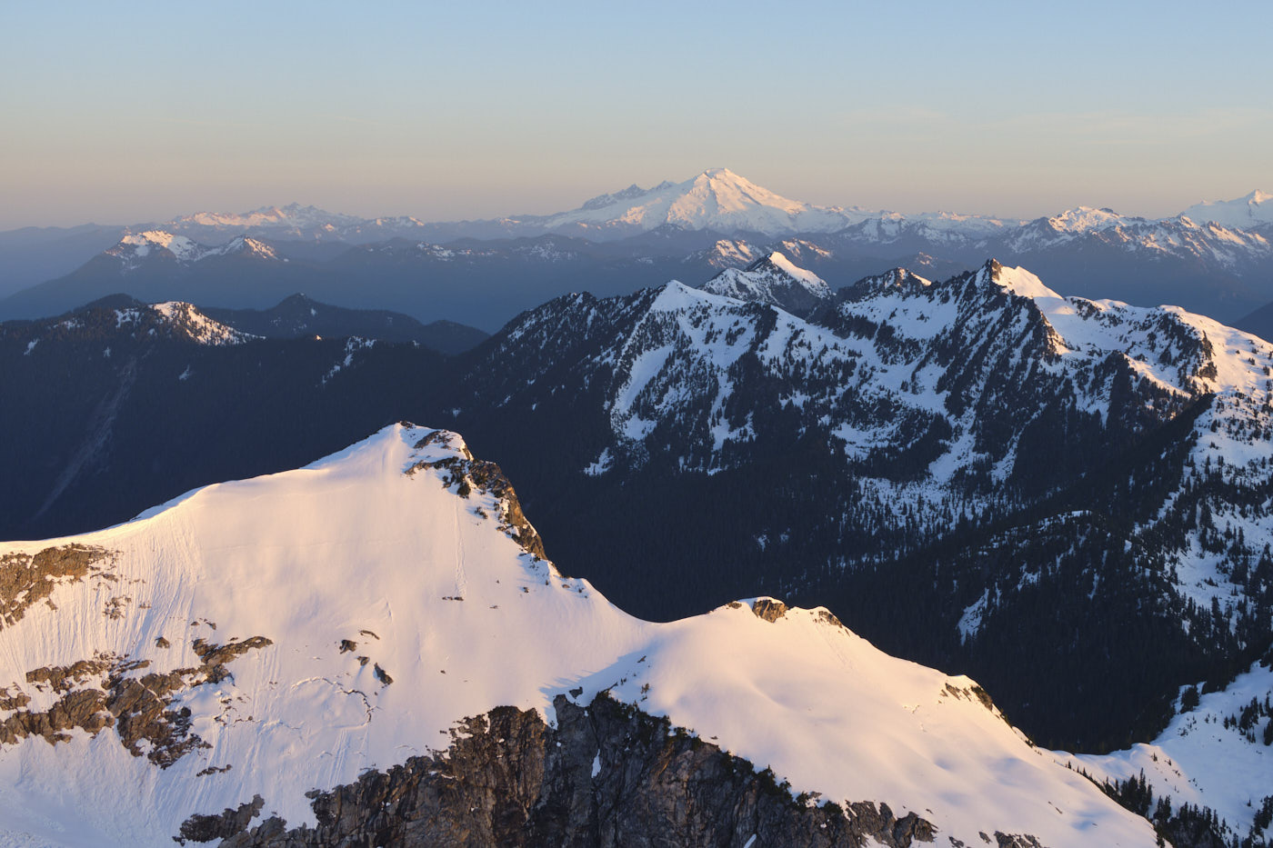
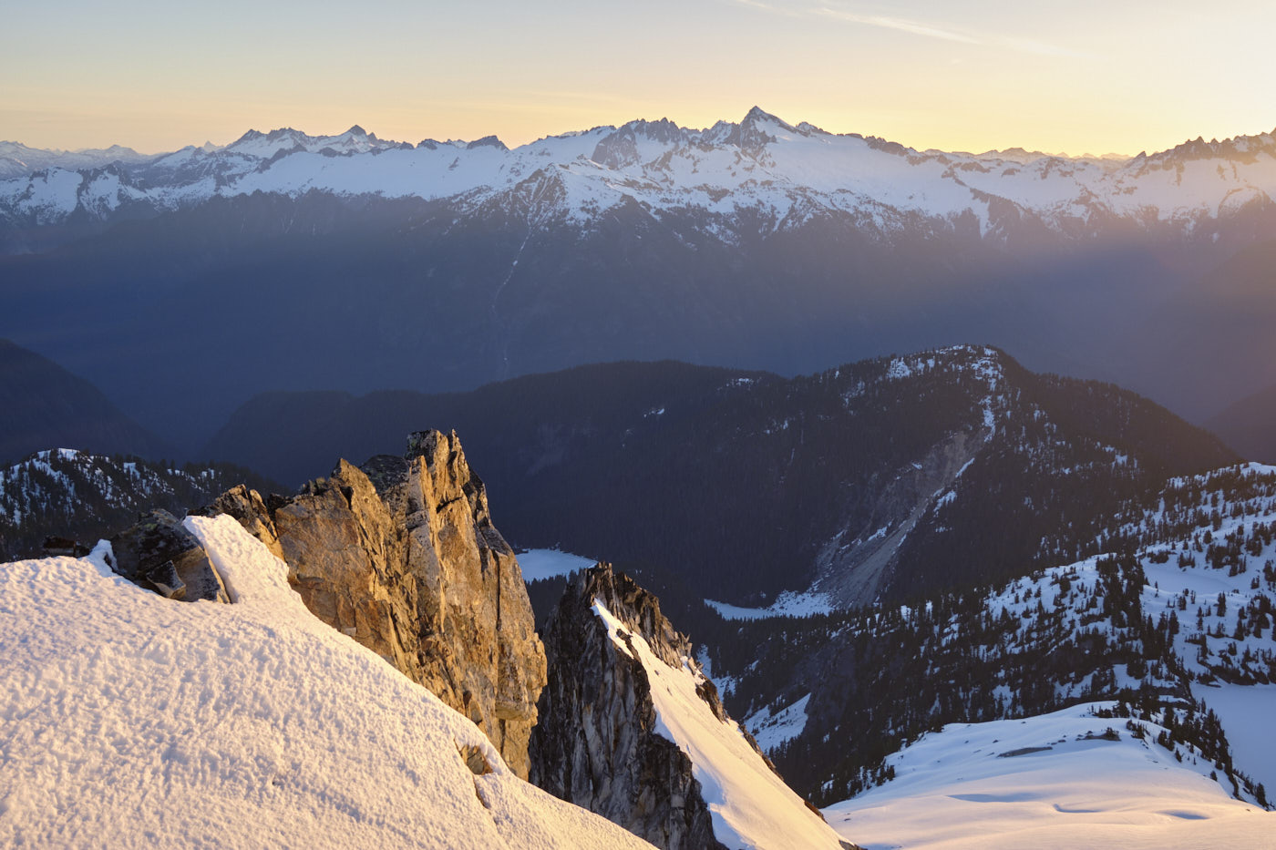
Alpenglow camping in the North Cascades
Snowking Mountain is a massive, yet somewhat obscure mountain south of the Cascade River Road. Despite its relatively low elevation (7,433’), its slopes hold big glaciers that show up prominently in satellite imagery.
The May 11 weekend was forecasted to have the warmest temperatures of the year yet, reaching near 80 degrees in the lowlands. Coupled with fresh snowfall earlier in the week, mushy snow conditions and wet avalanche danger were guaranteed. We still wanted to get into the alpine, though, and felt Snowking would be an appropriate objective as its standard route follows low-angle ridges that stay out of avalanche terrain.
The two choices we made for this trip were to:
- Do it as an overnight for the alpenglow photography!
- Snowshoe. The peak is doable as a ski tour, but we are bad skiers and preferred the brain-dead simplicity of snowshoes for the poor snow conditions, long-and-bushwhacky approach, and undulating ridge which would require multiple ski transitions.
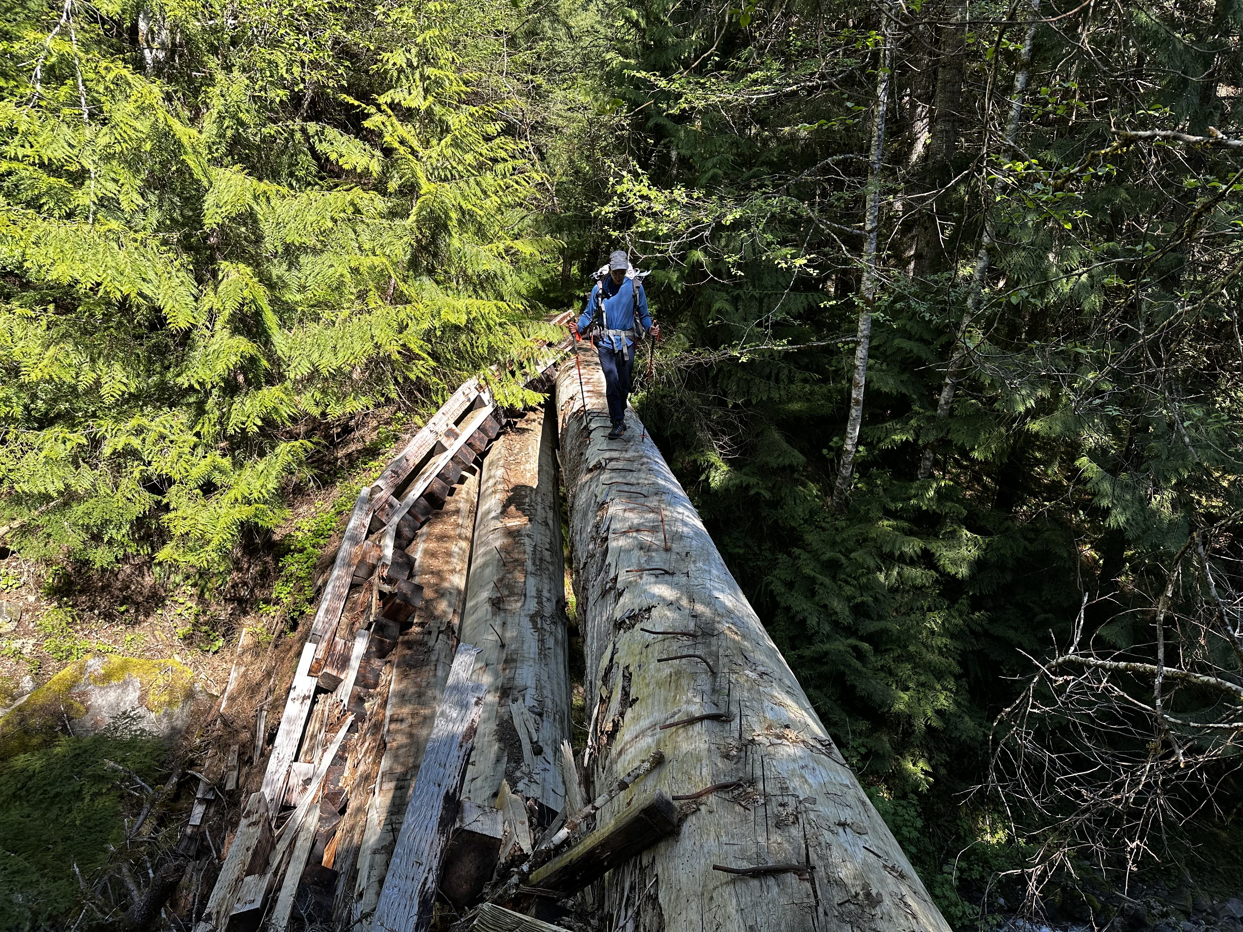
We got a lazy 10am start on Saturday, bushwhacking up a decommissioned road that’s quickly getting reclaimed by nature. The spiciest part of the road is an airy crossing of the remnants of a bridge, which is essentially just a log now. The log seemed very solid and footing is good, but you certainly wouldn’t want to fall there.
1.5 miles or so past the bridge the “road” emerges into a clearing with an obvious trail cutting uphill to the left. It’s a standard Cascadian climber’s trail, steep enough to require occasional veggie belays. Luckily it is actually a lot less bushwhacky than the road!
We hit consistent snow at around 3800’, where we put on snowshoes. Travel was easy-going until we accidentally reached a 5000’ highpoint followed by a steep and awkward descent. Here we began following fresh tracks from a solo skier up to the summit of Found Peak. This again turned out to be a minor navigational error since the top of Found Peak is full of crazy, partially-snowbridged “rock crevasses.” We ended up backtracking down a hundred vertical feet or so to bypass them to the west.
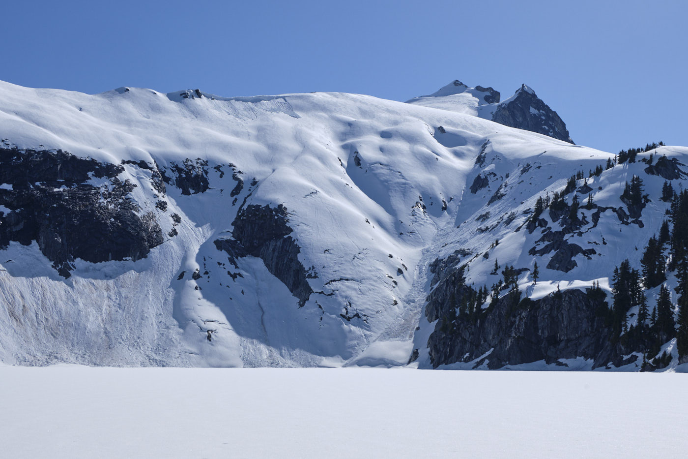
After Found Peak there are two options to proceed towards Snowking, which are either to go clockwise around Cyclone Lake (up the “East Arm”), or to descend to Cyclone Lake and then go counterclockwise (up the Snowking Glacier or “Northeast Arm”). Hoping to score some fresh water near the lake, we chose the latter. Snow/ice cover on Cyclone Lake was getting a bit thin, especially at the inlets and outlets, but we made it work. We did find a small waterfall to refill our bottles. The fresh snowmelt on a hot day tasted absolutely delicious!
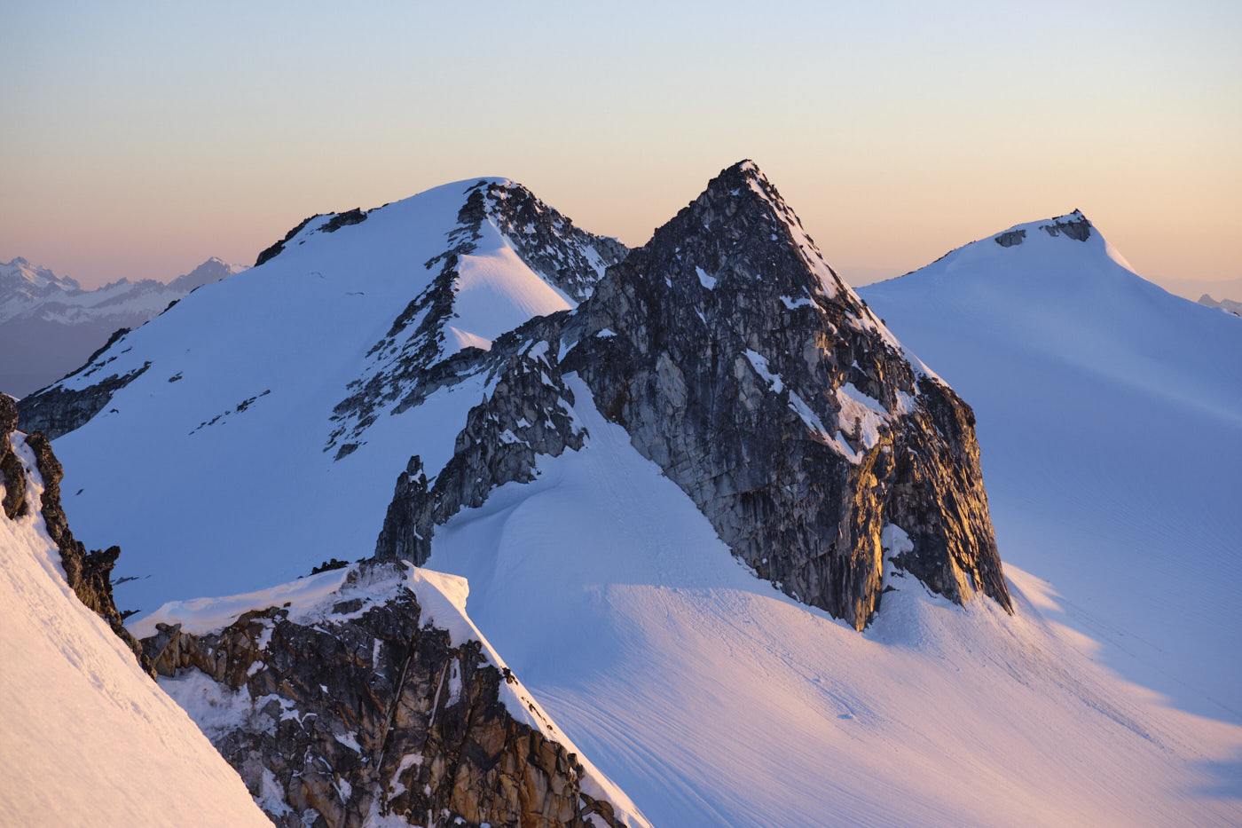
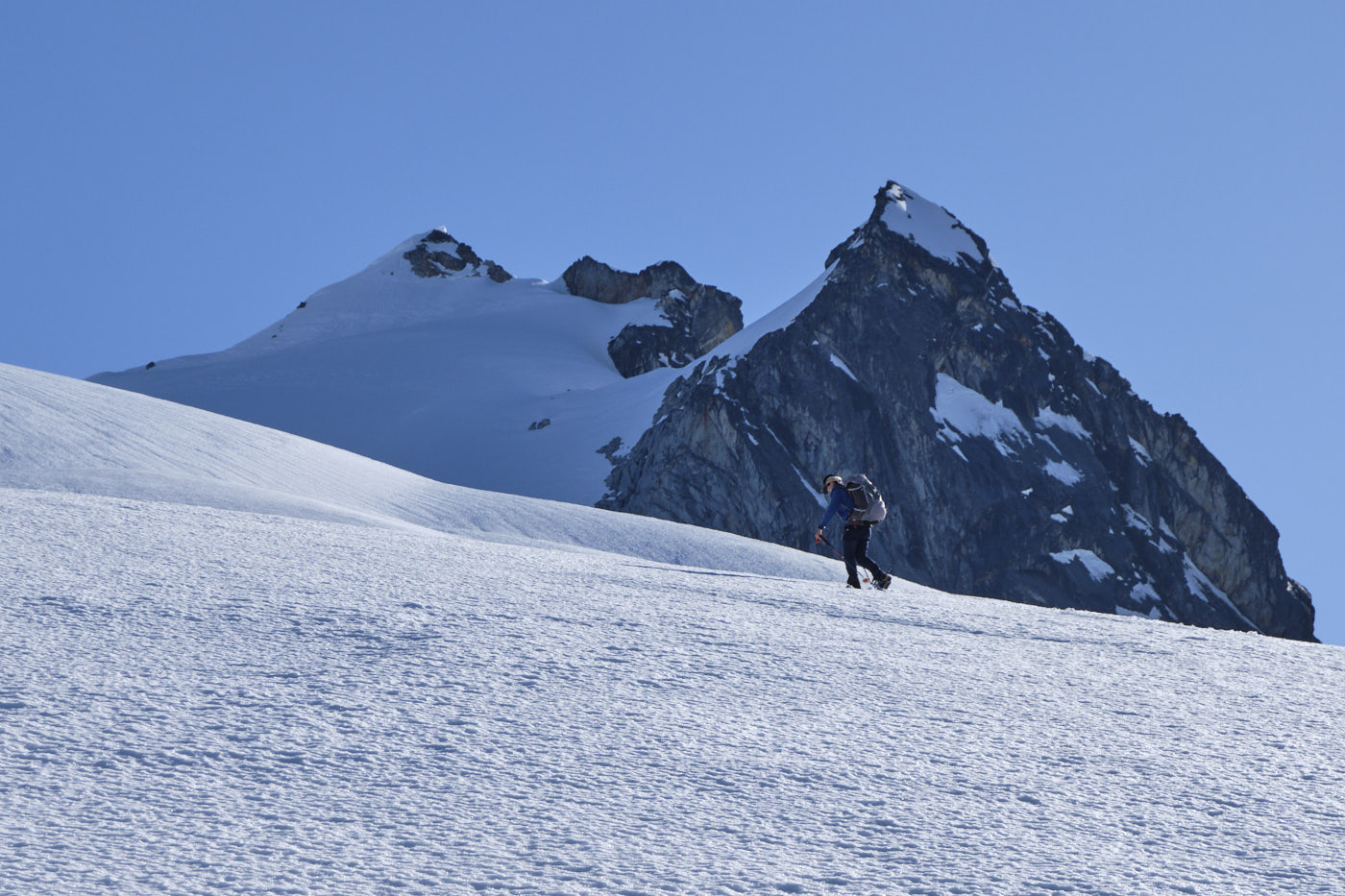
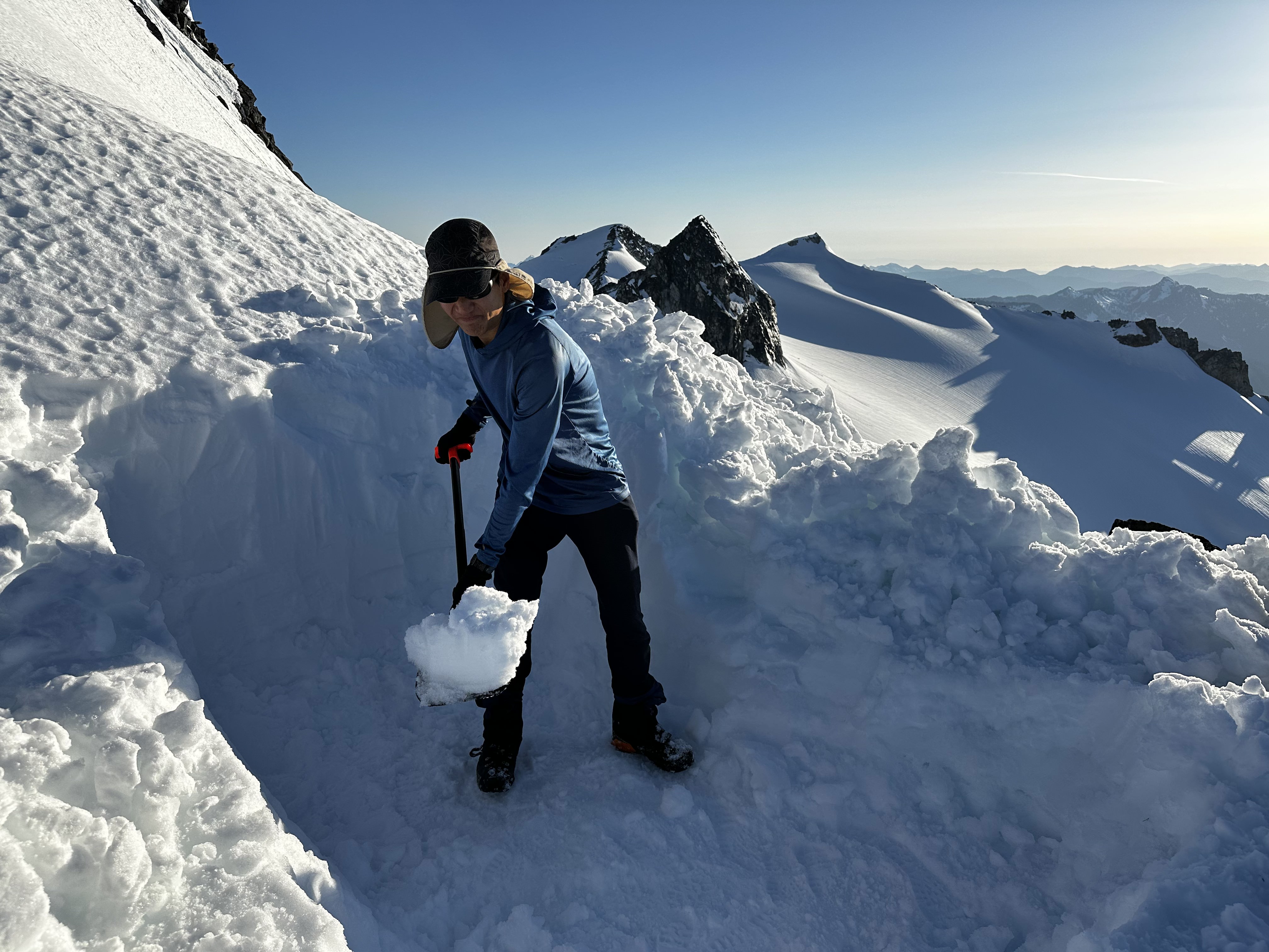
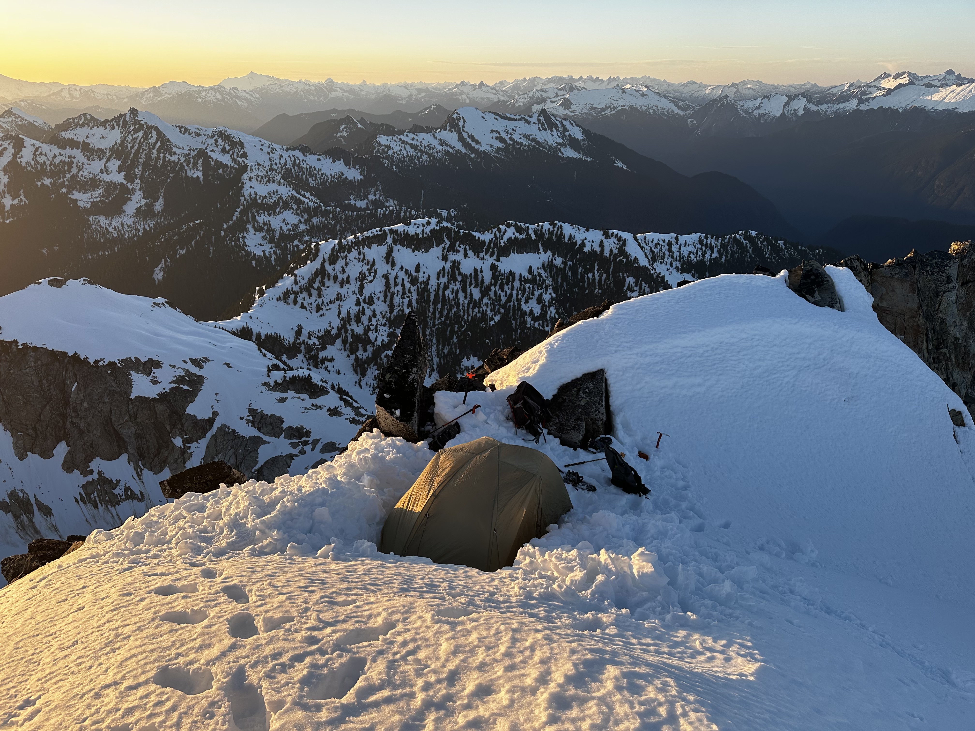
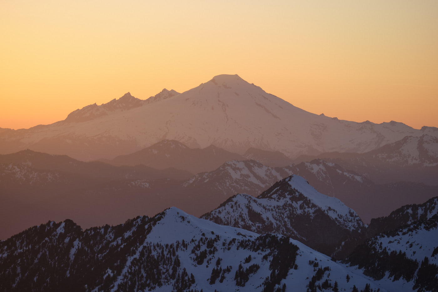
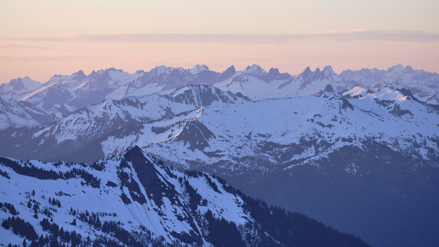
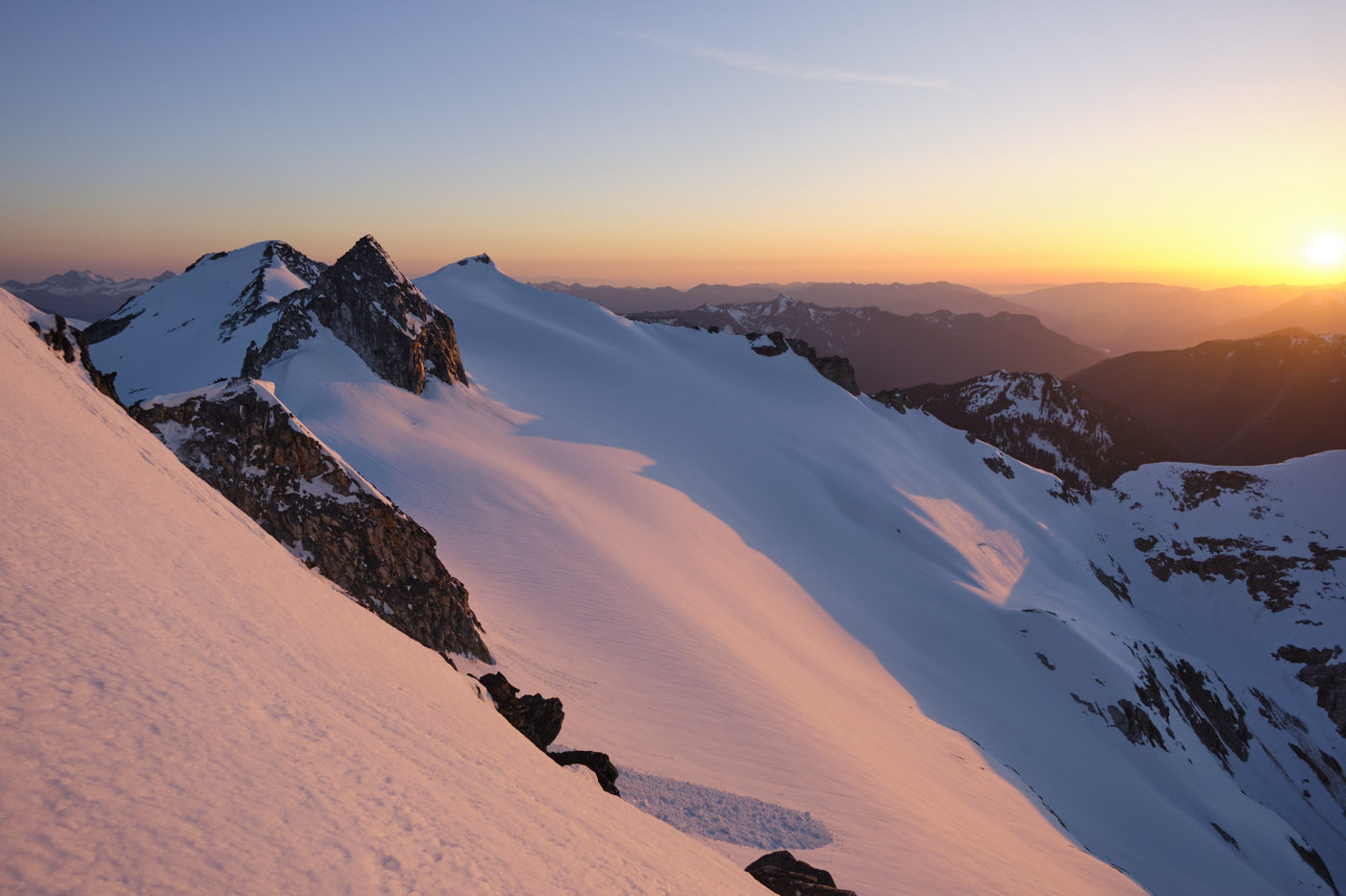
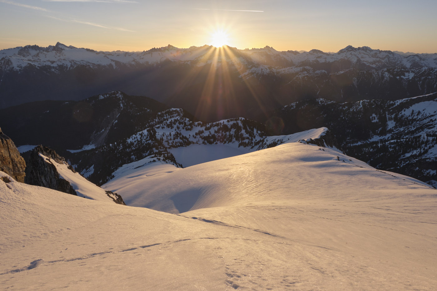
The push up the Snowking Glacier was a straightforward slog, though I got fairly gassed near the end after over 7000’ vert of heavy packs and mushy snowshoeing. The reward was totally worth it, though - an awesome bivy site on Snowking’s north ridge, right below the summit! We promptly got to work shoveling out a tent site, cooking dinner, and preparing for an epic sunset.
Thanks to the warm weather, nighttime temperatures were relatively balmy and I slept comfortably in my puffy and 40 degree quilt. I poked my head out of the tent a couple times, hoping for some good northern lights (the previous night had featured the lower 48’s best northern lights in recent years, and NOAA’s forecast for this night was also promising). Unfortunately, though, the northern lights were barely visible this time.
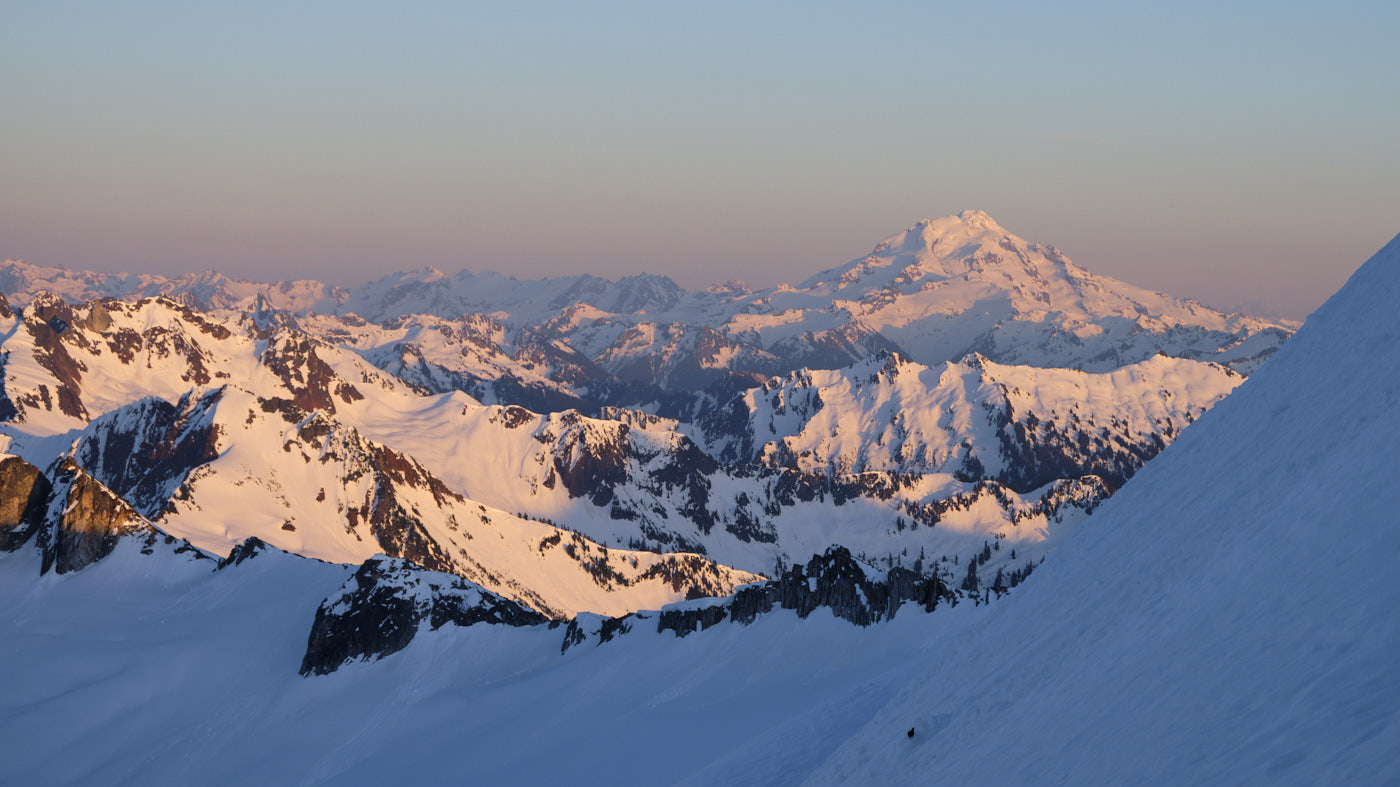
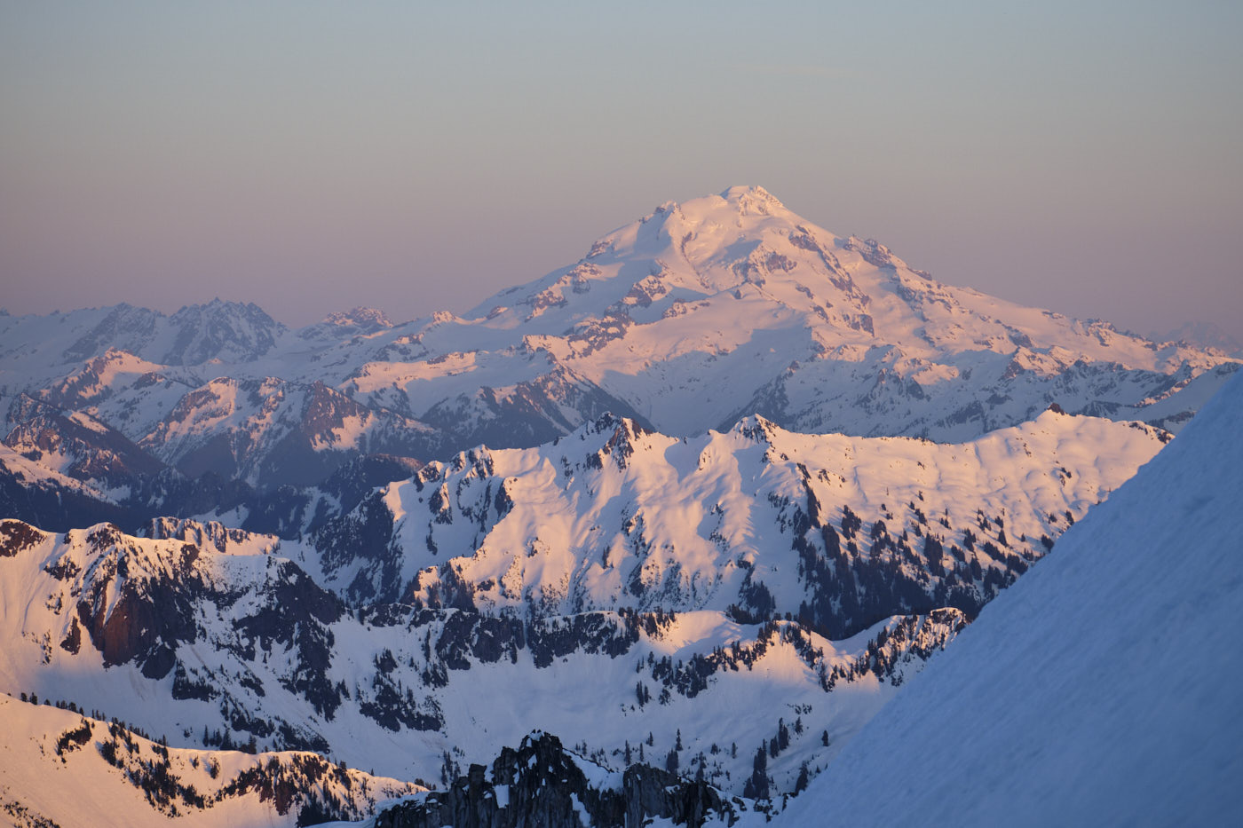
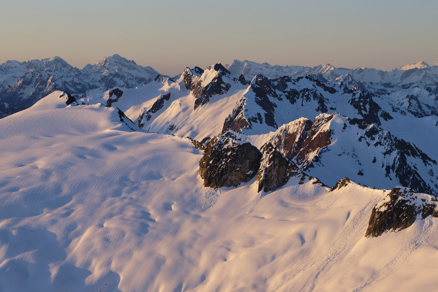
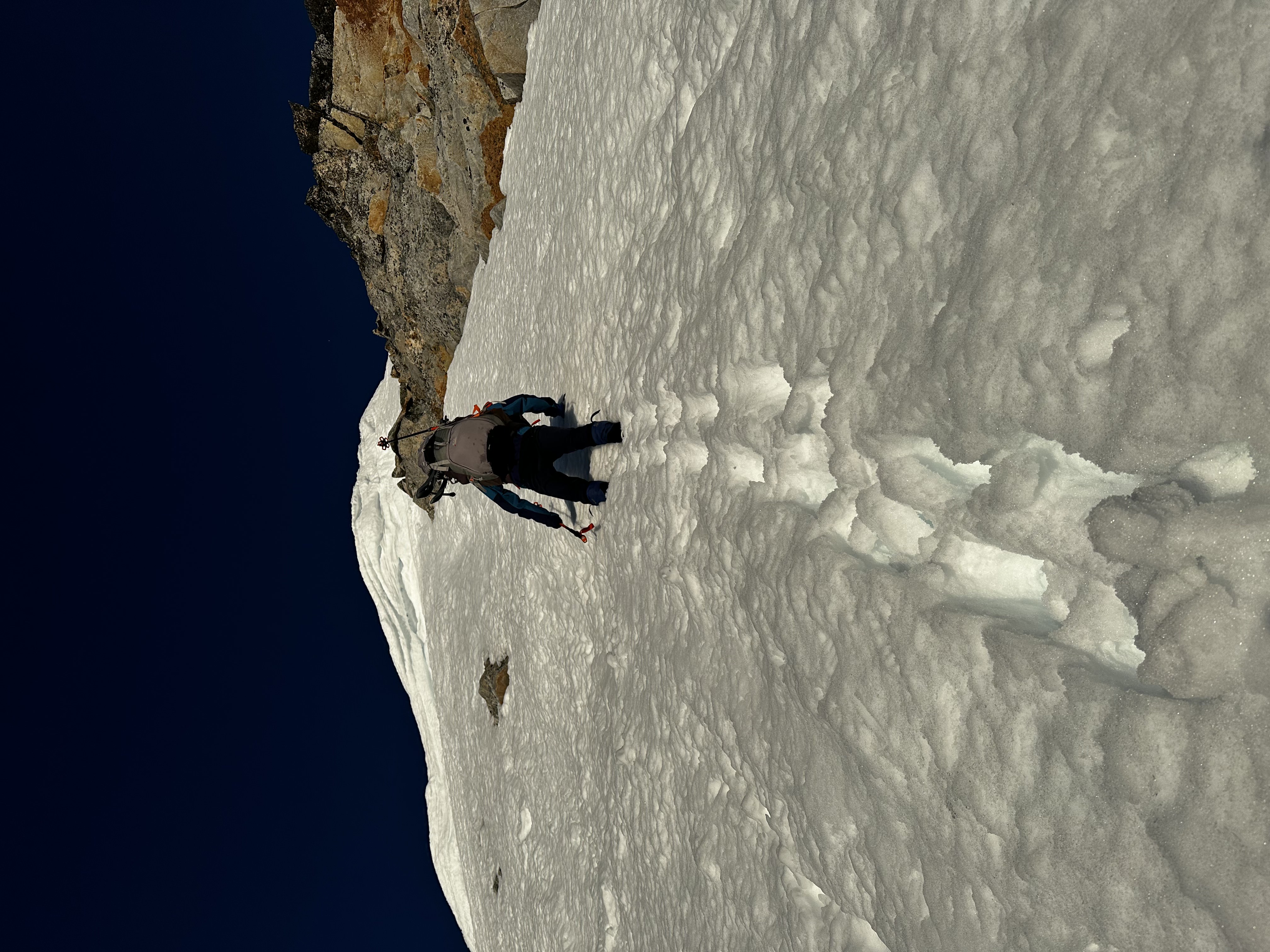
The next morning, we woke around sunrise for another photo shoot, then climbed some steep snow to tag the summit.
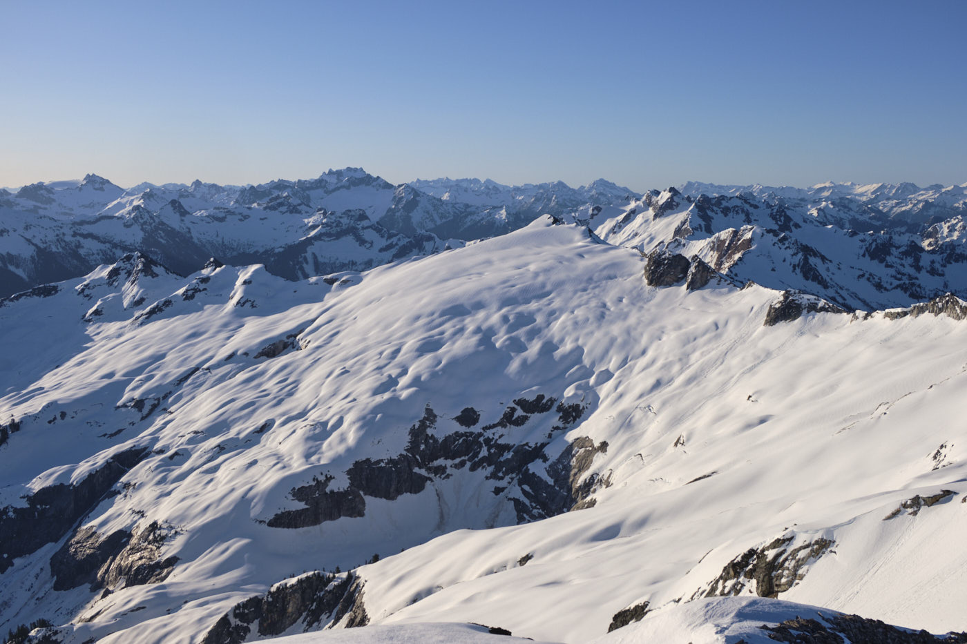
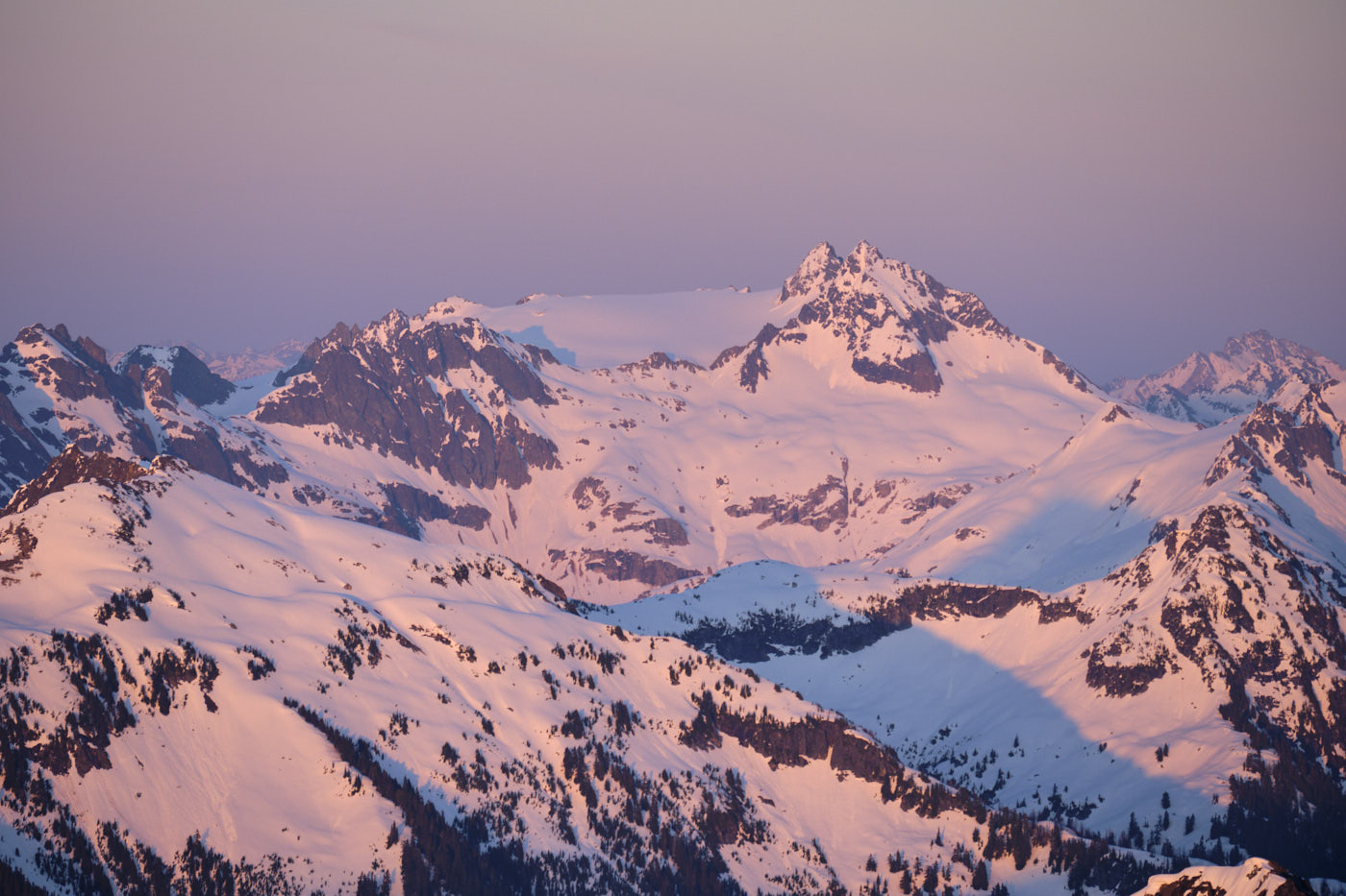
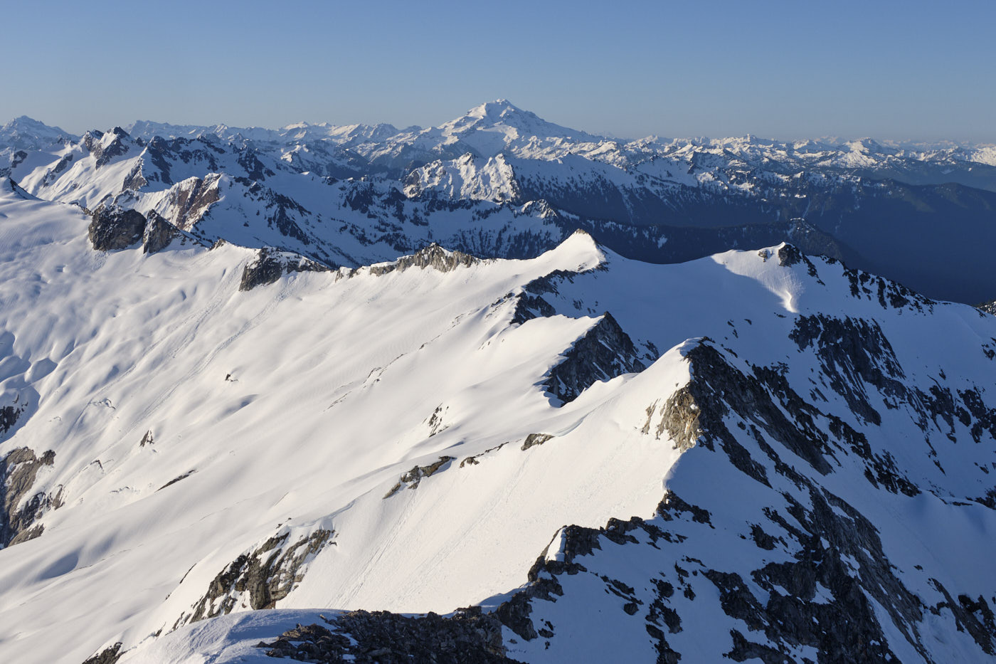
Another look at Mutchler, from the east arm. This view is blocked from the Snowking Glacier ascent route.
For our descent to Cyclone Lake we decided to take the “east arm” instead of the Snowking Glacier, which we agreed was much more scenic. We got back to the car at around 1pm.
