The Evolution Loop
Backpacking in the High Sierra
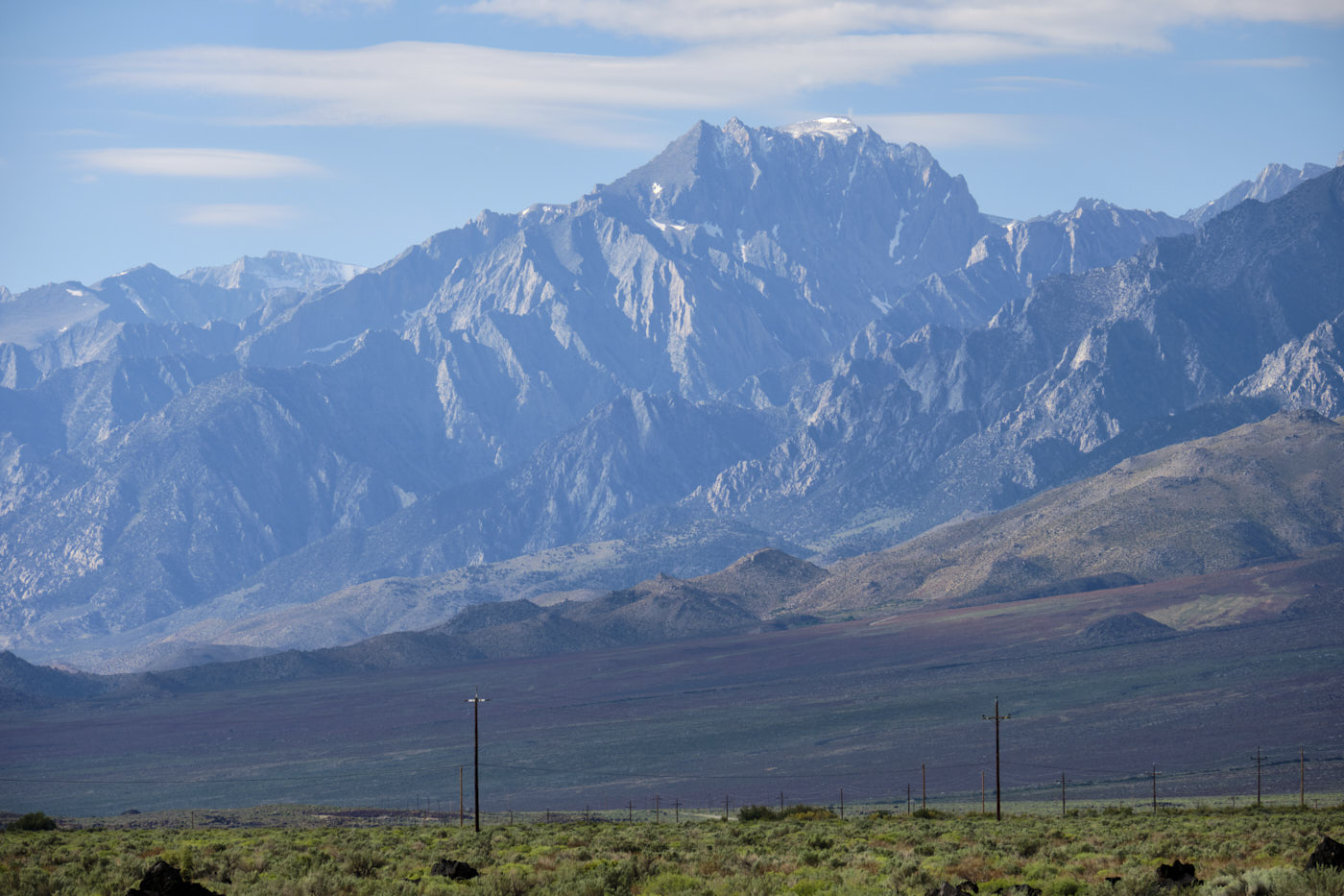
The Sierra Nevada is one of the great ranges of the US, covering much of the eastern half of California. Due to its geology, the range has an interestingly asymmetrical shape. Over 50-75 miles, it rises gradually from the western Central Valley to the 14,000 foot peaks of the Sierra Crest before dropping steeply to the Owens River Valley at 4,000 feet. This eastern “wall” is known as the Sierra Escarpment and had been on my bucket list to visit for some time.
Tim and I were originally set on going to the Canadian Rockies for Labor Day week, but with uncertain smoke conditions from the huge BC wildfires, we decided to pivot. California was completely the opposite, with a record-breaking snowpack which completely dampened wildfires. Not a bad plan B!
The Evolution Loop
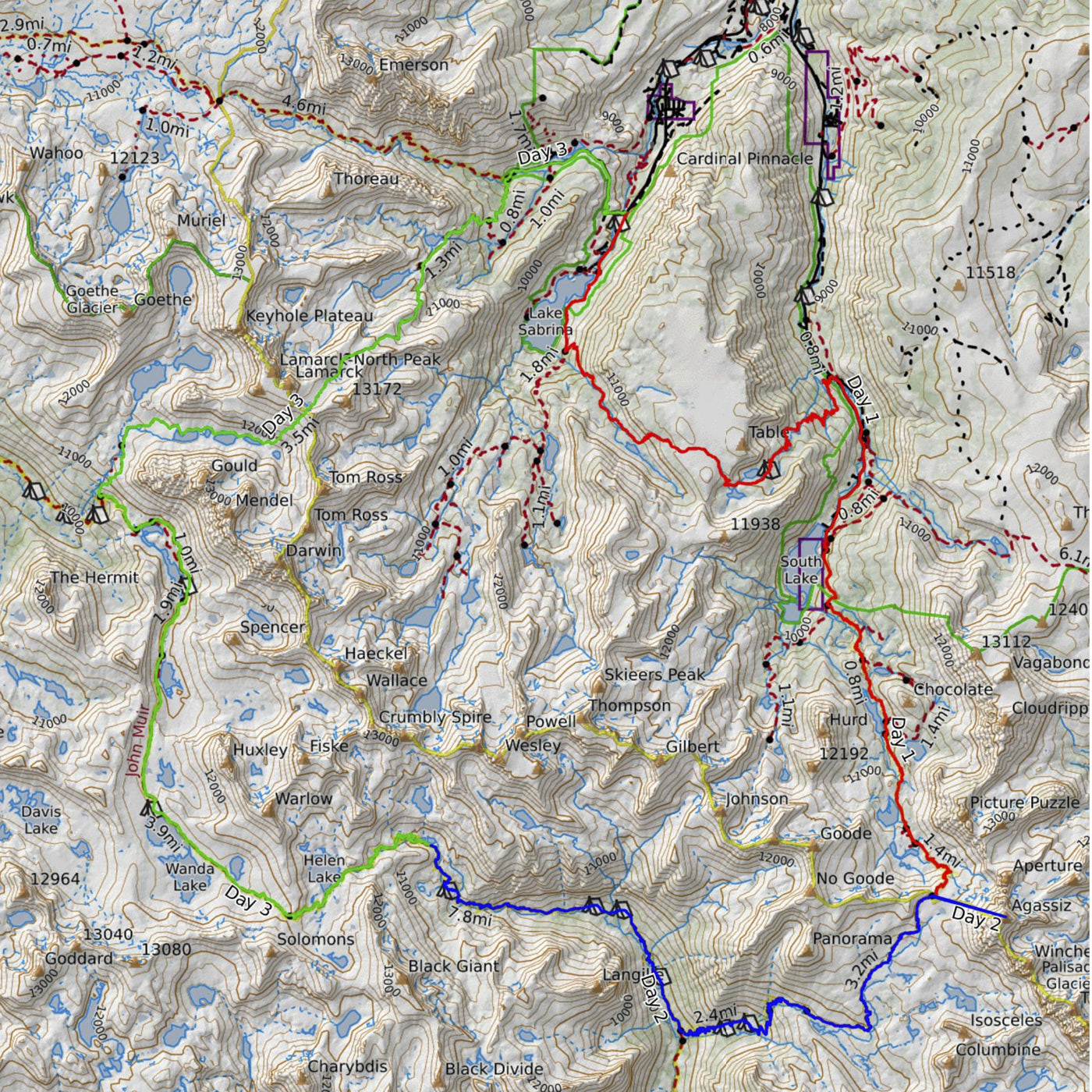
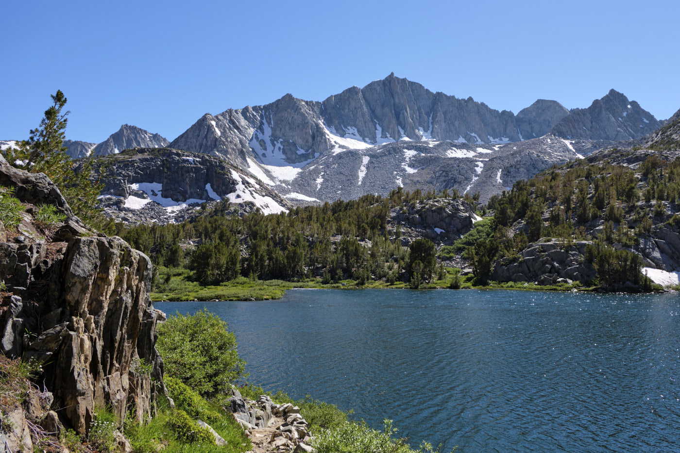
With limited time to research, our overall plan was to stay in Bishop and play it by ear. However, the one trip we did book permits for in advance was a 3-day backpack of the “Evolution Loop,” a well-known route traversing some of the most scenic parts of the High Sierra. There are a few different variations of the loop (described in detail here), but we made the following route choices:
- The traditional route is more of a horseshoe than a loop, since it starts and ends at two different locations, the South Lake and North Lake trailheads. We only had one car so couldn’t setup a car shuttle, and also didn’t want to rely on hitchhiking, so we decided to complete a full loop and hike between trailheads over Table Mountain. This added about 13 miles and 3,500 feet elevation gain to the route.
- We opted to take Lamarck Col across the Sierra Crest on the North Lake side. This is an off-trail route that’s considerably shorter than the on-trail Piute Pass option. It also avoided a bridge over the San Joaquin River that got severely damaged this year.
- We took a detour to climb Mount Agassiz, which is a 2,000 foot class 2-3 scramble from Bishop Pass.
Our route variation covered 53 miles and 14,000 feet of elevation gain in total.
Day 1: North Lake overnight parking to Bishop Pass
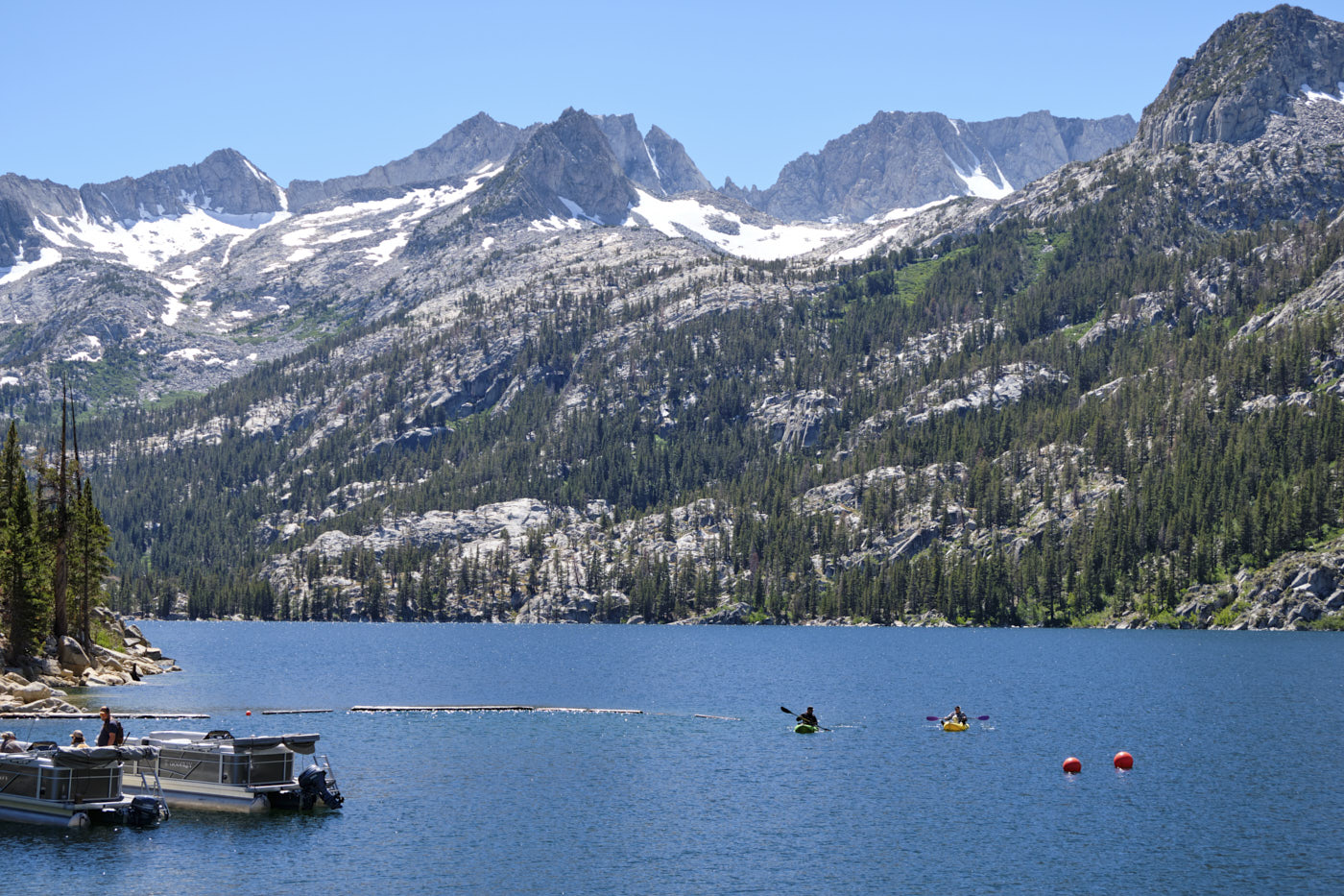
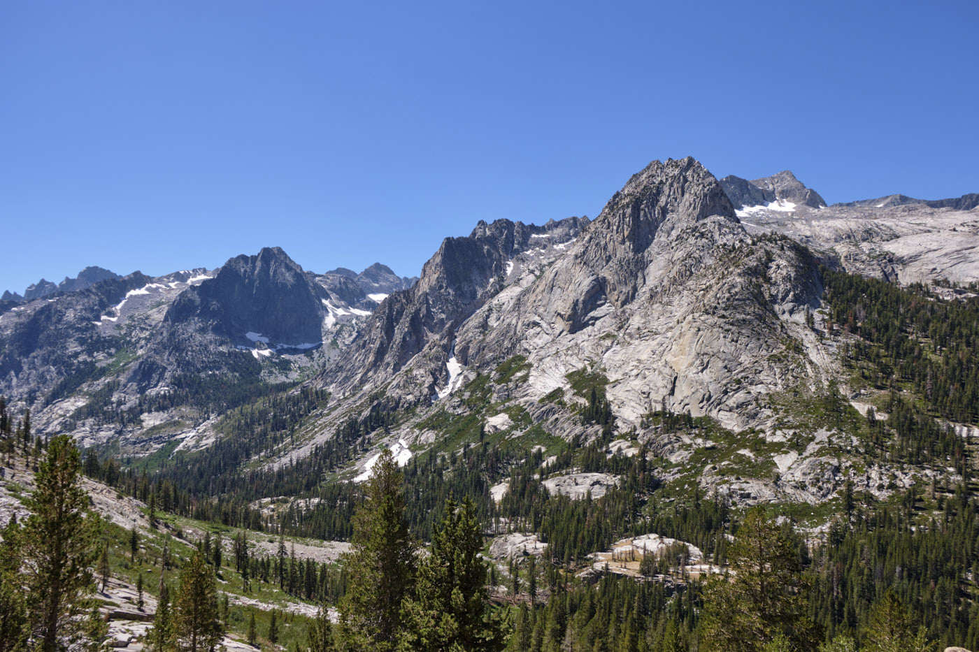
The first goal of the day was to hike up and over Table Mountain to get from North Lake to South Lake. It was a bit funny to hike 11 miles and 3500’ elevation gain just to reach another trailhead. Scenery on Table Mountain was nice but not mind-blowing, but the views really started to improve once we started hiking up towards Bishop Pass.
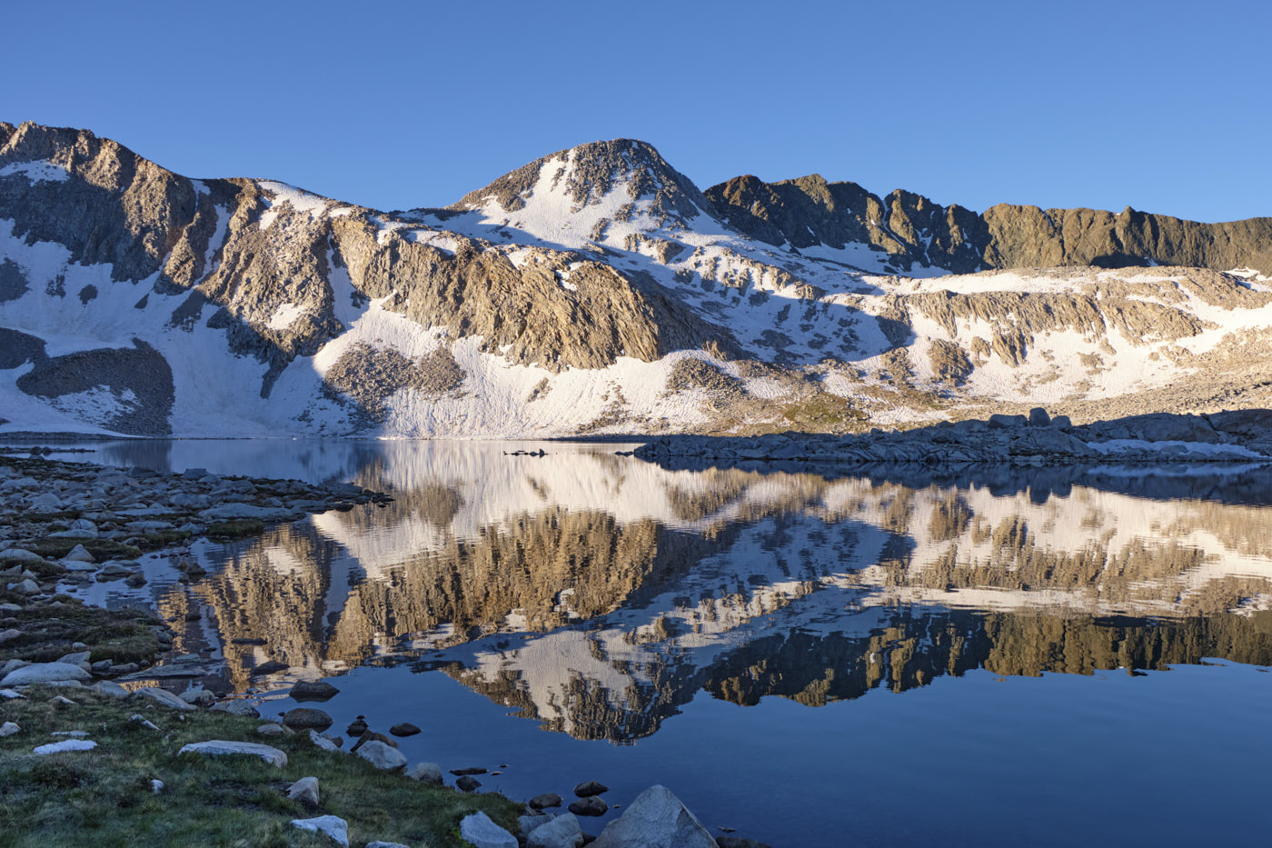
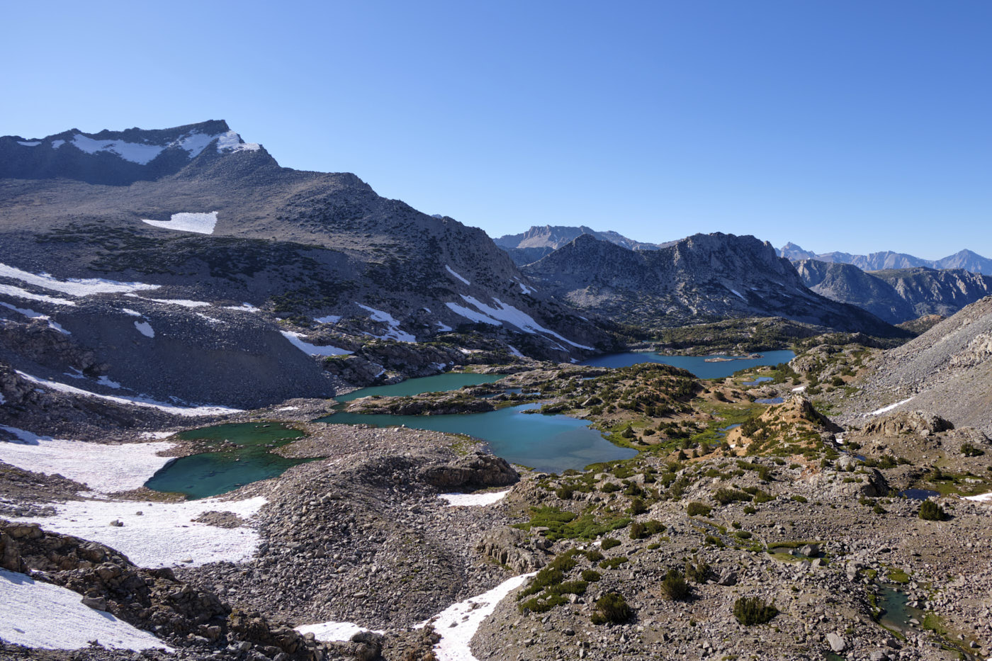
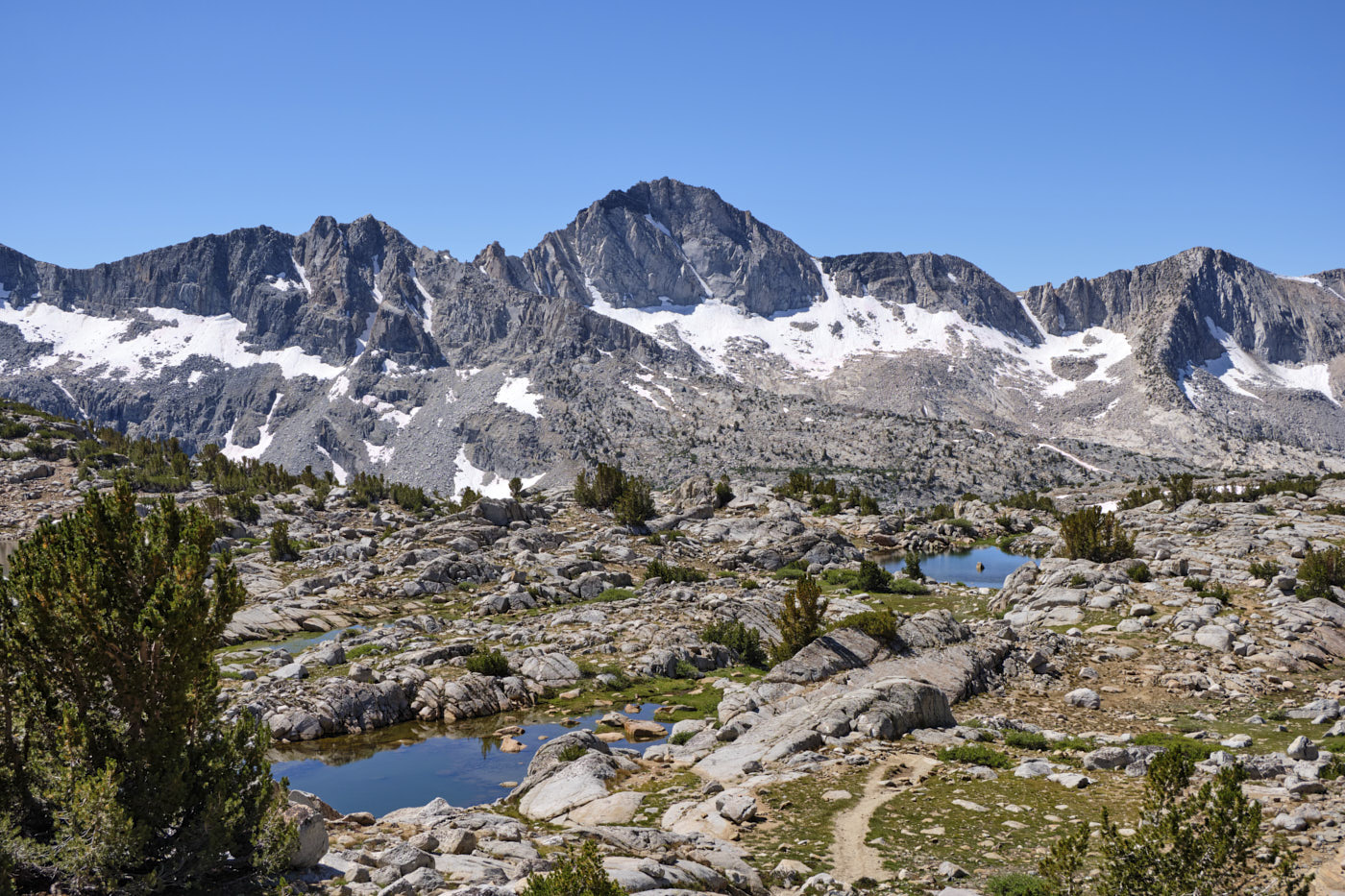
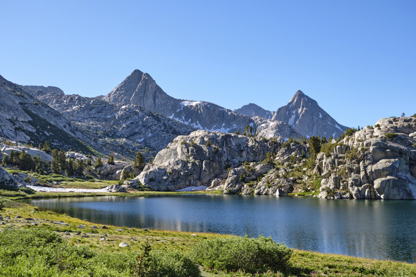
After reaching Bishop Pass, we made camp by a nice tarn and enjoyed great sunset views into the High Sierra.
Day 2: Mount Agassiz, Dusy Basin, JMT to camp near Muir Pass
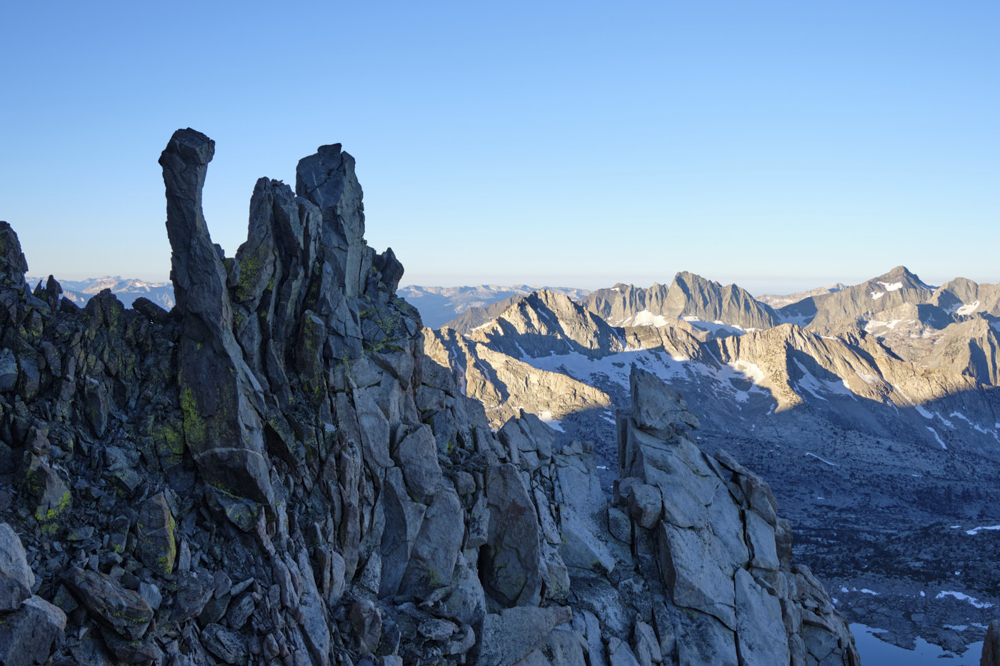
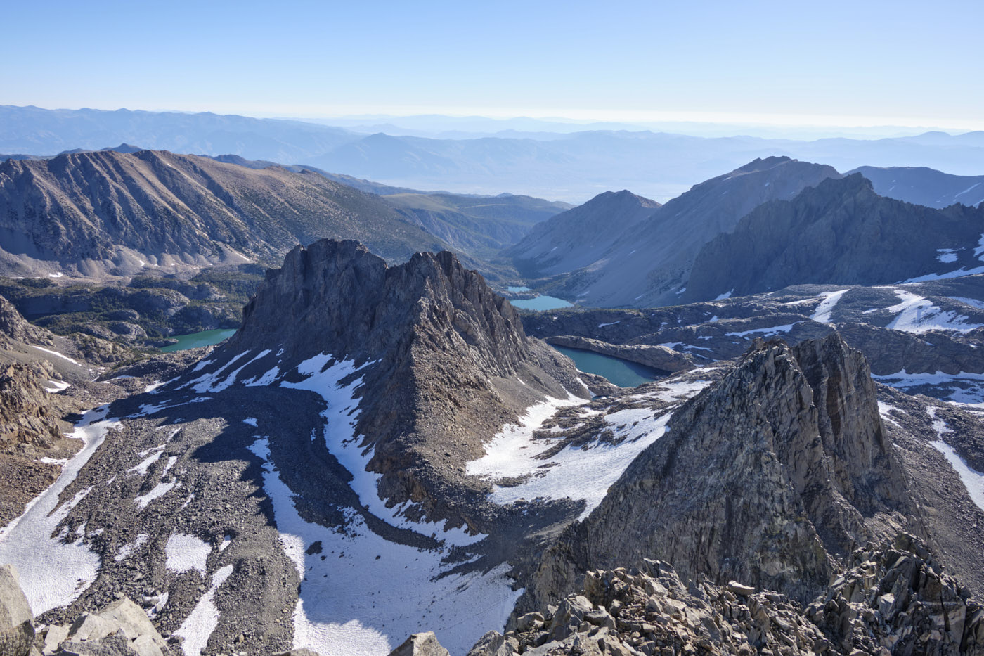
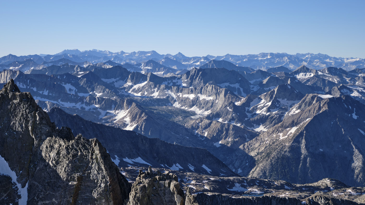
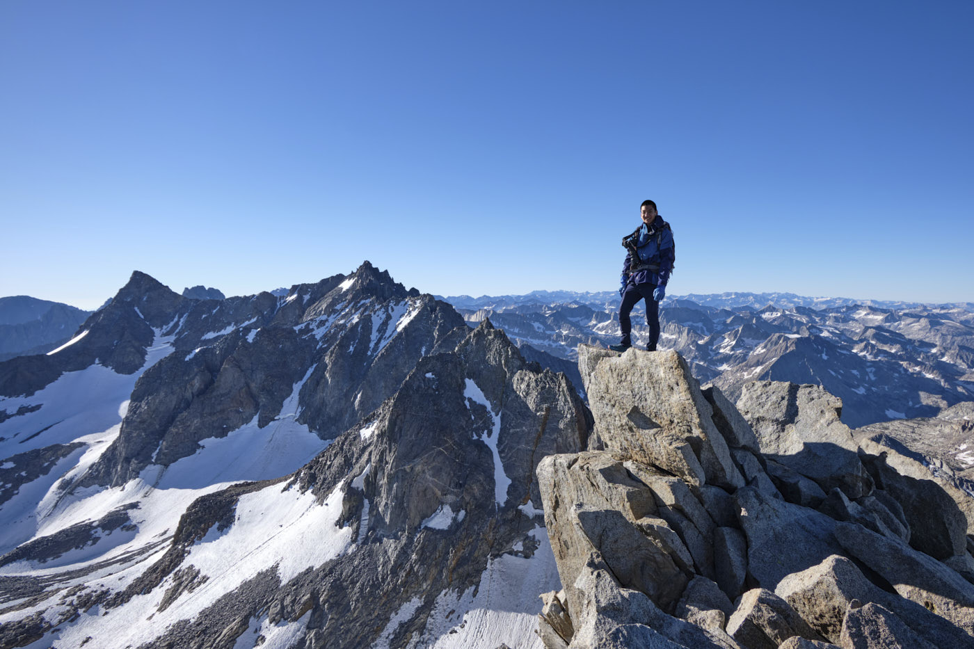
We started our second day by scrambling Mount Agassiz, a 13,900 foot peak adjacent to Bishop Pass. Any route up the west slope should go; our ascent route went up some class 3-4 rock spines, but we later found an easier way down that was mostly all class 2. The summit of Agassiz offers great views of a lot of the High Sierra but especially of the Palisades, a group of rugged peaks with well-known alpine rock routes.
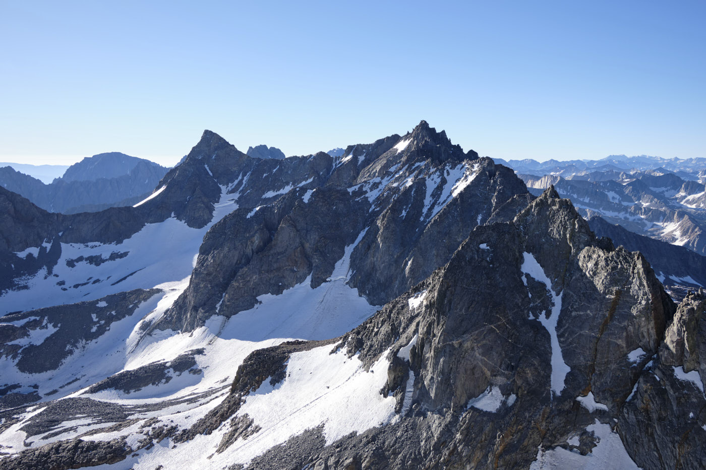
Mount Sill (left) and North Palisade (right-center), famous peaks of the Palisades. The Palisades Glacier below is the largest in the Sierra.
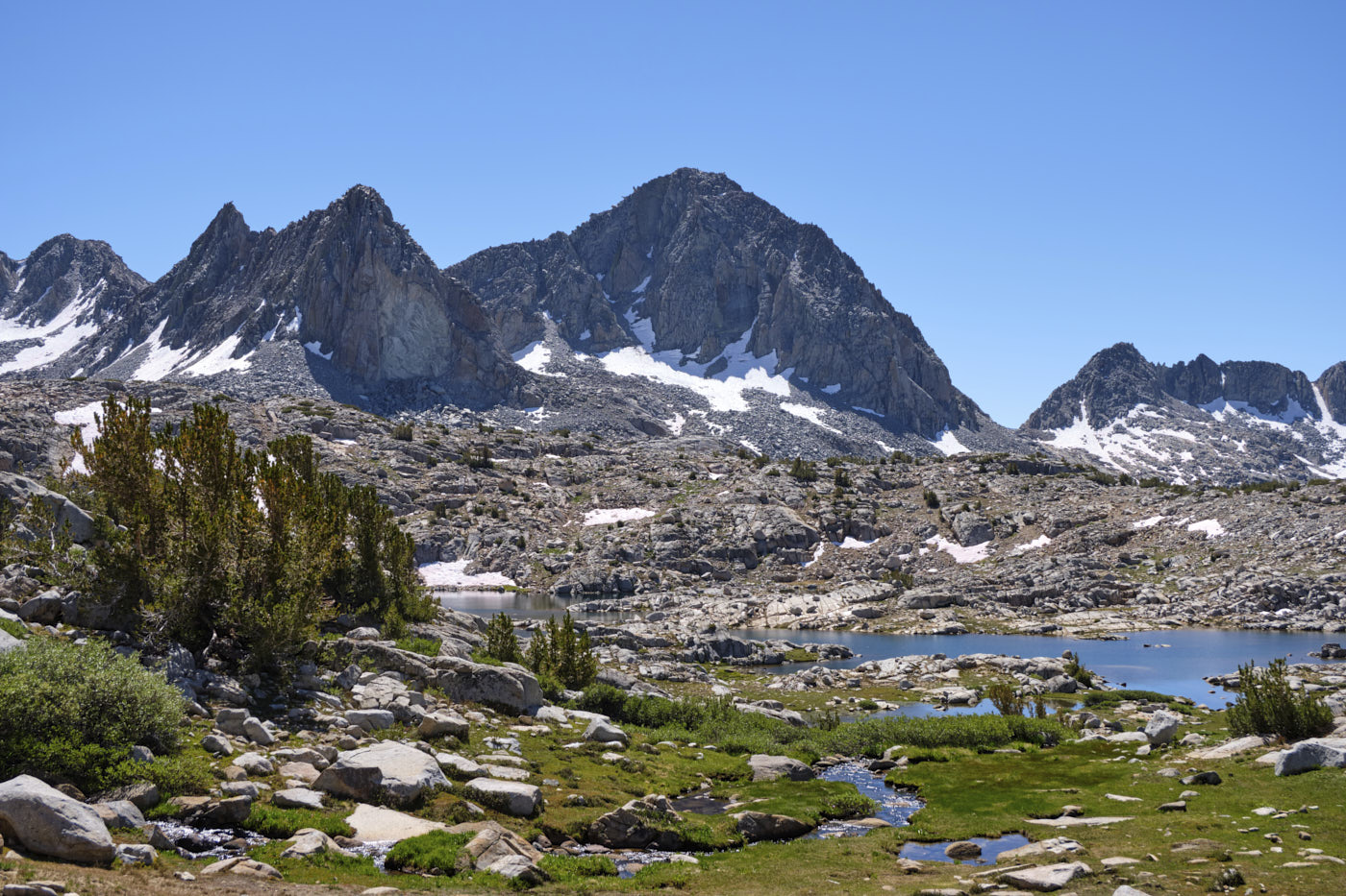
After descending Agassiz we packed up camp and hiked through the lovely Dusy Basin before dropping down to the valley floor for some hot and boring miles on the JMT. Tim started seriously slowing down at this point, which was pretty unusual since he’s normally faster than me. It might have been altitude effects, and we decided to stop and make camp a few miles earlier than planned so he could rest up.
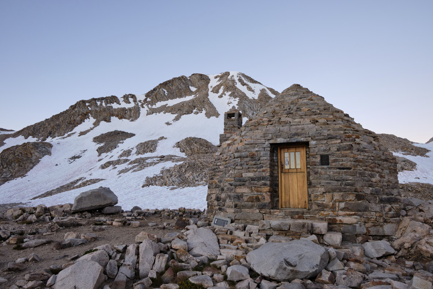
Day 3: Muir Pass, Evolution Basin, Darwin Canyon, and the hike out
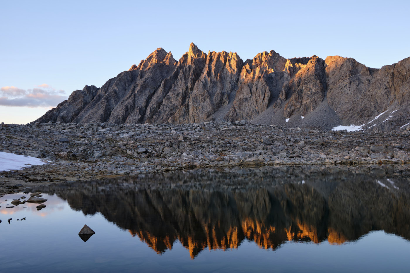
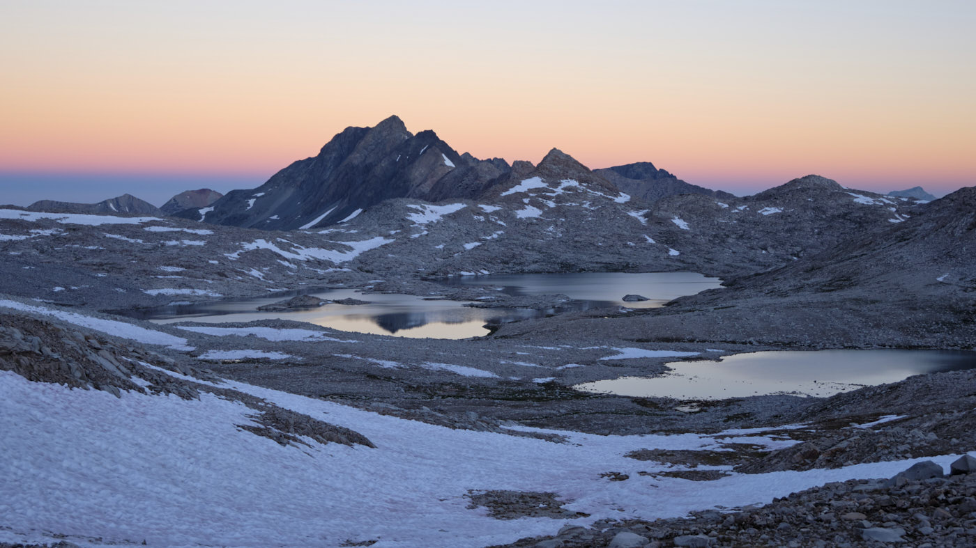
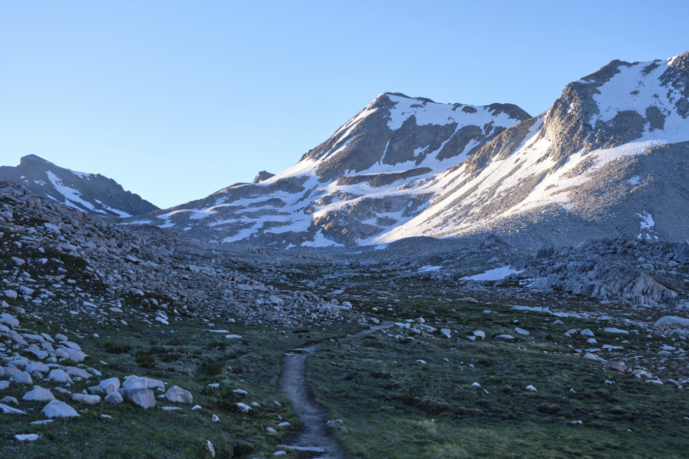
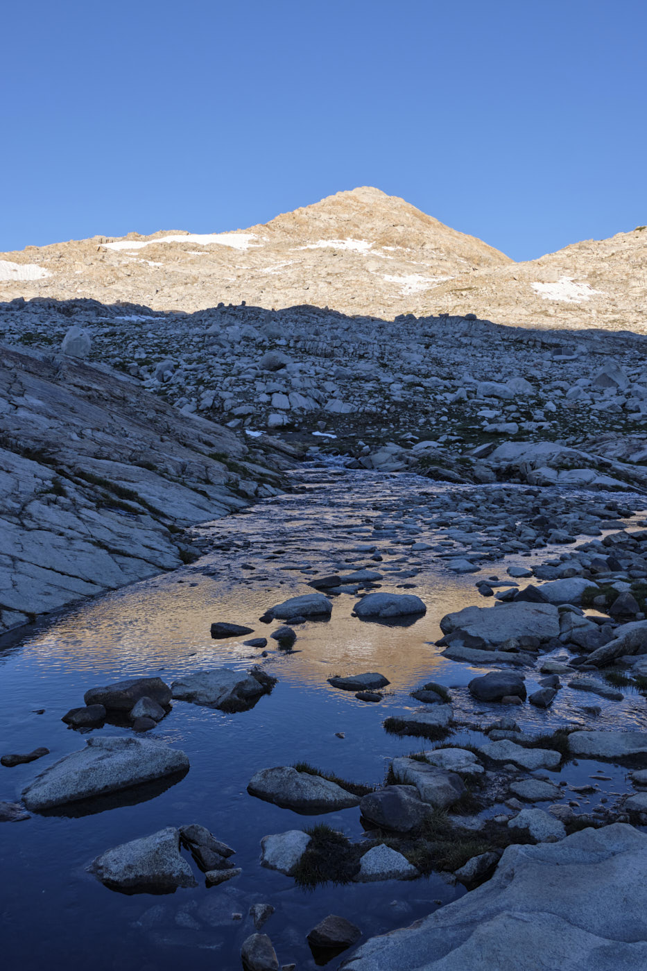
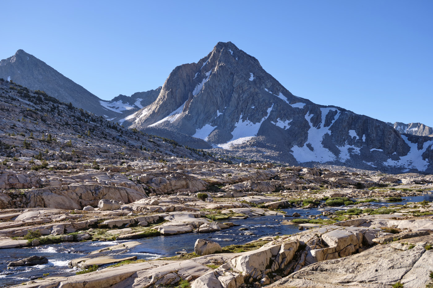
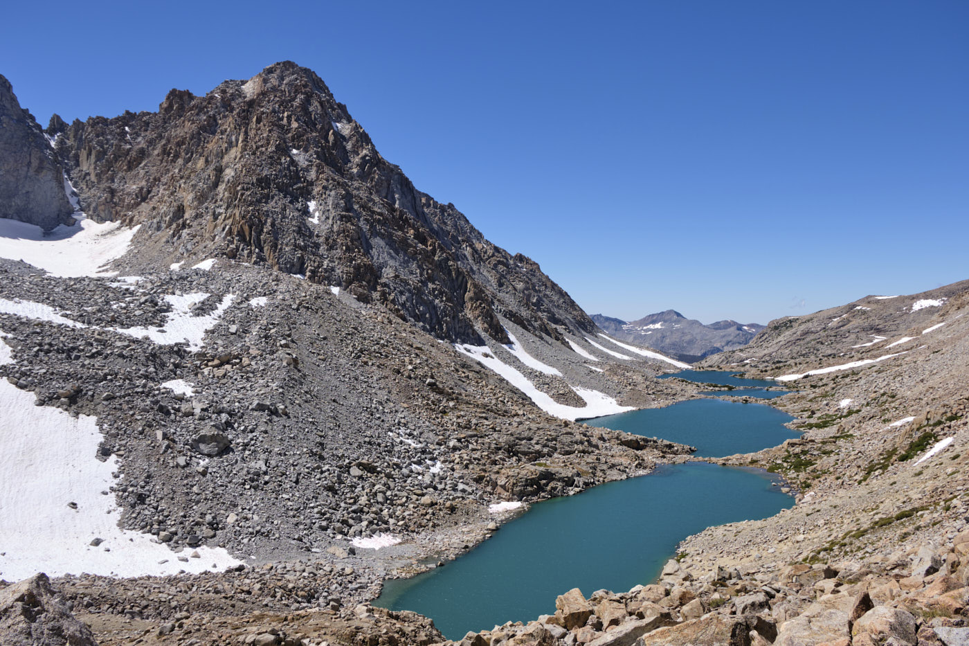
We got an early 4am start on the final day hoping to time the morning light in Evolution Basin. This turned out to be a great decision since Evolution Basin featured probably the most beautiful terain of the whole loop. We then exited out towards the North Lake trailhead via a cross-country route through Darwin Canyon and over Lamarck Col. Navigation was mostly straightforward with a beaten-in use trail most of the way, though traversing the sides of the Darwin Lakes involved some tedious boulder scrambling.
After reaching the North Lake trailhead we dropped our packs and jogged the last couple of road miles to reach the car.
Final thoughts
Overall, I was very impressed by the High Sierra - it felt like a grander version of the Enchantments of Washington with its granite and alpine lakes. Given the relatively high “entry fee” to get across the Sierra Crest, it was pretty interesting to be on a trail where nearly everyone was backpacking instead of day-hiking. I think this loop was a great way to experience some of the finest terrain of the Sierra and can highly recommend it!
