Glacier Peak
Climbing Washington's wilderness volcano
Of Washington’s five stratovolcanoes, Glacier Peak is the least well known. Part of the reason is that unlike its siblings, Glacier Peak is embedded deep inside of the Cascade Range, making it much harder to spot from the lowlands1. This embeddedness also means that access roads are few, and any route up the mountain requires a long, up-and-down trek just to reach its base. A climb of Glacier Peak therefore delivers a uniquely wilderness experience, and anyway as the state’s 4th highest summit and a volcano it’s a major prize for any Washington peakbagger.
Tim would be moving away in a week, so this weekend was our last chance to do a trip together for a while. We had initially been thinking about climbing Eldorado Peak or Mount Shuksan, which we could do as strenuous daytrips. But as luck would have it, the weather forecast predicted a strong high pressure window from Thursday to Sunday, and we decided to set our sights higher on Glacier Peak as a two or three-day trip.
The Cascades were still very much in spring conditions due to the high snowpack this year, and we could find precious little recent information on the climb. I could only find a couple trip reports online, and both parties had turned around either because of weather or snow conditions on the long sidehilling approach. At least we knew the road to the trailhead was driveable.
We would be bringing snow climbing gear, crevasse rescue kit, backpacking gear, and of course photo gear. We opted not to bring snowshoes, which turned out to be the right decision. All told, my pack clocked in at 40 pounds. Tim’s stronger than me and took the rope, so his pack was even heavier - thanks Tim!
Day 1, approach to camp
We wanted to avoid the mushy snow postholing experience we’d had on Black Peak earlier this month, so we got a 3am start on the North Fork Sauk trail. The trail starts at 2100 feet in elevation, and as we hiked through the peaceful old growth forest I felt a world away from our glacier-clad destination more than 8000 feet above. Many points of the trail were flooded, and I soon gave up on the hopeless task of keeping my feet dry and just waded through. Parts of the trail were also quite overgrown and I got plenty of “bites” from stinging nettles.
I’d been suffering from a shoulder pain issue recently, which was exacerbated by the heavy pack. It got bad enough on the trail that at one point we seriously considered turning around, but for some reason it gradually began to feel better again and didn’t flare up as badly for the rest of the trip. Phew!
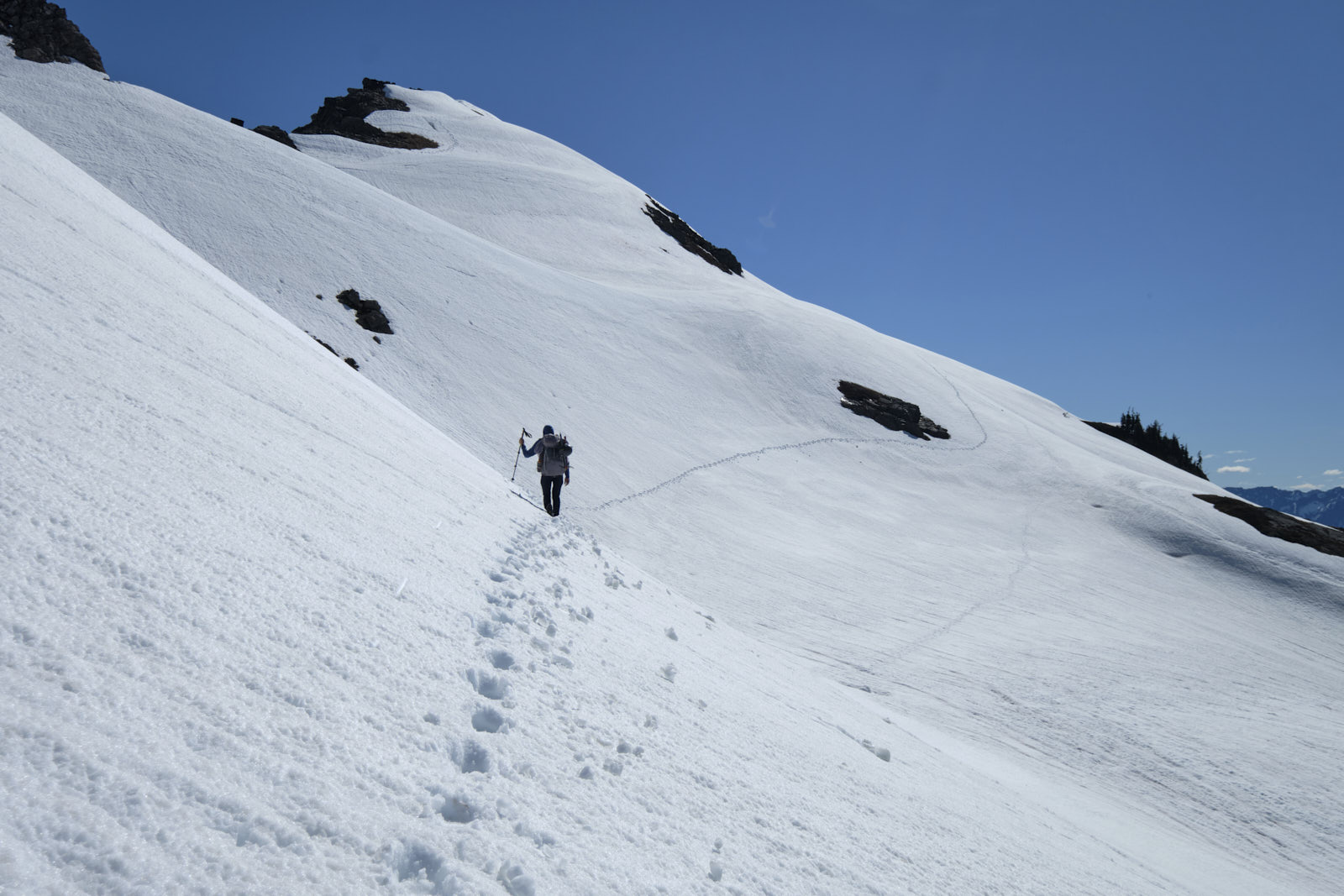
The trail is pretty flat for about 5 miles before it turns and starts switchbacking uphill. Snow started around 4500’. Knowing that sidehilling the snow-covered summer trail could be slow, we had researched a “winter route” which leaves the summer trail to go over the west shoulder of White Mountain. However, we were pleasantly surprised to find a solid bootpack on the summer trail which made the sidehilling relatively easy.
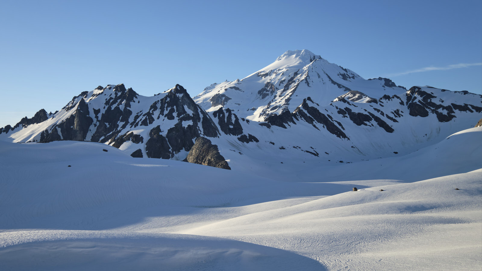
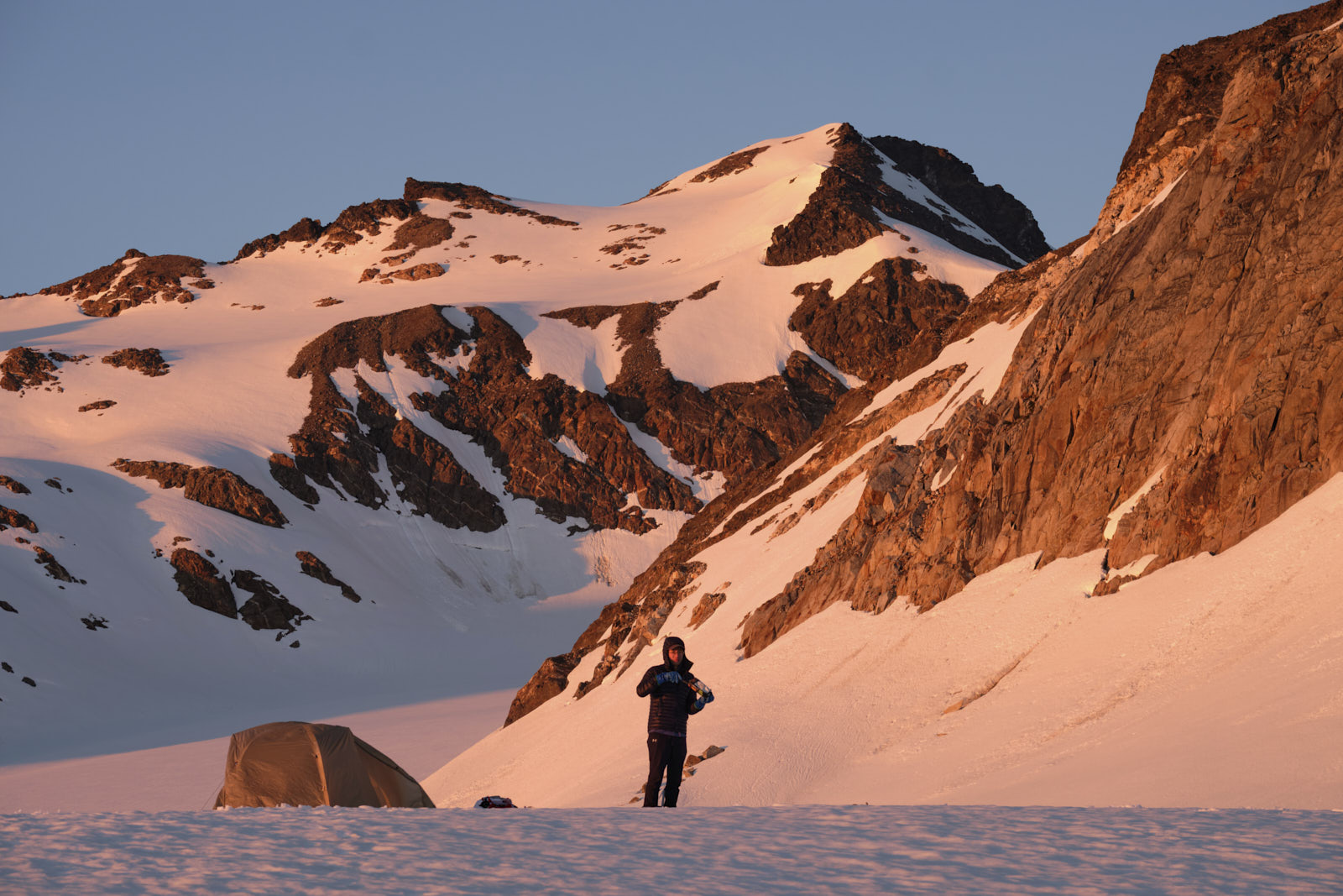
At some point in our brainless slogging, we accidentally followed a bootpack that departed the summer trail and found ourselves on top of an unnamed highpoint on the White Mountain Ridge. We were more than 10 miles and 4000 feet of elevation gain in at this point and finally got our first look at Glacier Peak. What a beautiful sight! Although we were a bit off route, it wasn’t hard to drop down from the ridge and navigate from here, reaching our planned campsite at the foot of the White Chuck Glacier around 11am. There was plenty of time to kill.
It was a balmy 60 degrees at camp (80 in Seattle!), and with the sun reflecting off of all the snow it felt quite hot. So we spent the afternoon hiding from the sun and catching up on sleep in our tent, occasionally interrupted by the deafening noise of fighter jets flying low over Glacier Peak. I’d heard that the Navy uses this area for training - in fact, I later learned that the movie Top Gun: Maverick was filmed over the Cascades.
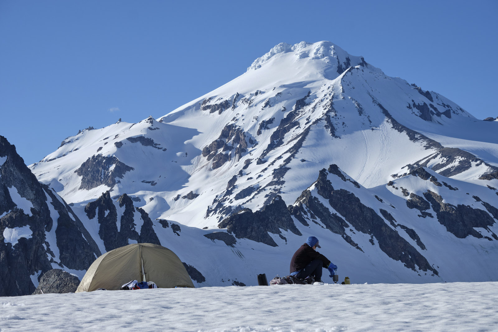
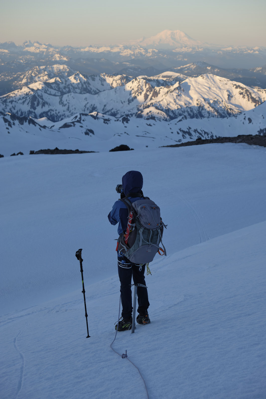
We got up a couple hours before sunset to melt snow, cook dinner, and take pictures.
We went back to bed after sunset, after which the wind suddenly picked up, rattling the tent all night. The gusts might have been pushing the limits of my 3-season tent, but it held.
Day 2, summit day
We got up around 2am to get ready for the summit push. The wind was still quite strong so we collapsed the tent, leaving our stuff inside. All we could do now was pray it wouldn’t blow away while we were gone!
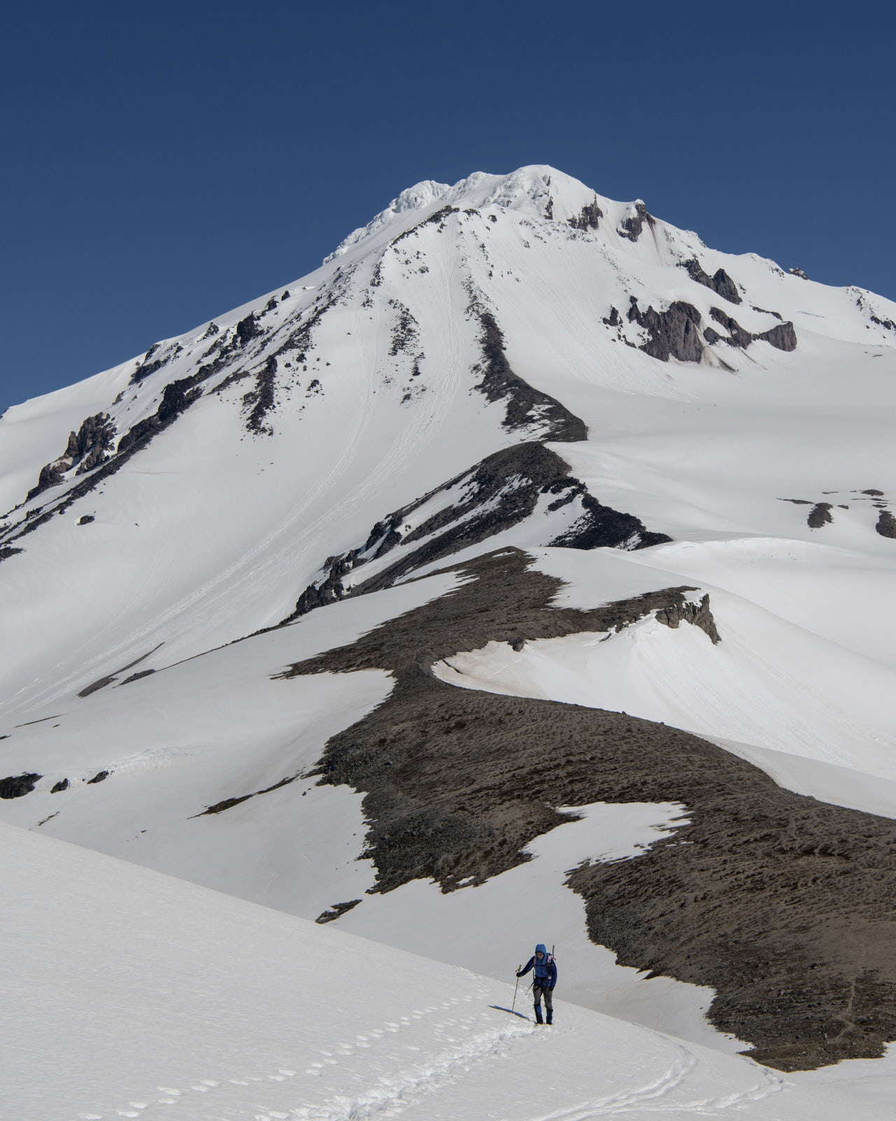
Navigating to the south ridge of Glacier Peak was a bit tricky but manageable in the dark, and it was otherwise a straightforward snow slog. The bottom part of the ridge was surprisingly dry and rocky and even had a faint climbers’ trail, which made for efficient travel.
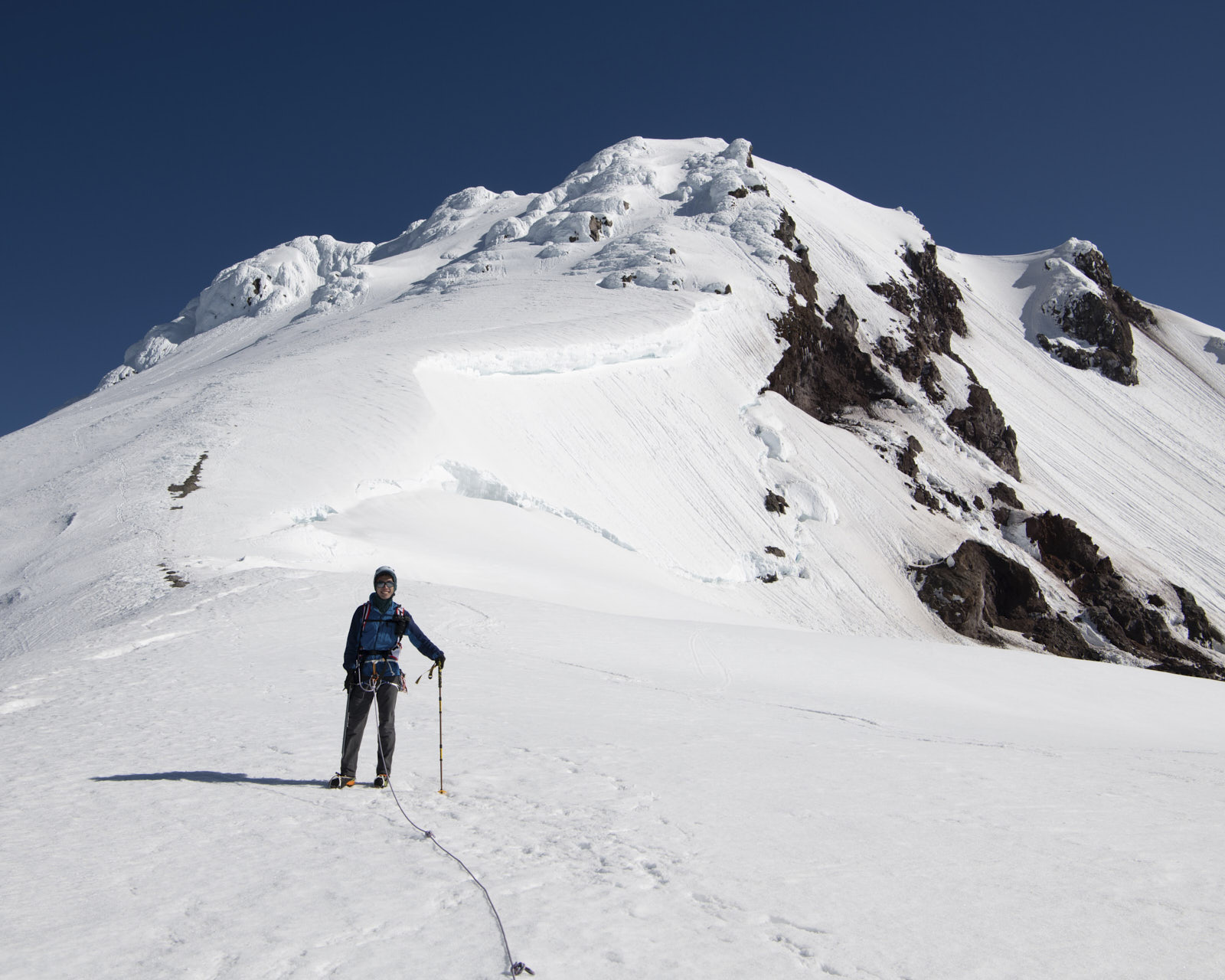
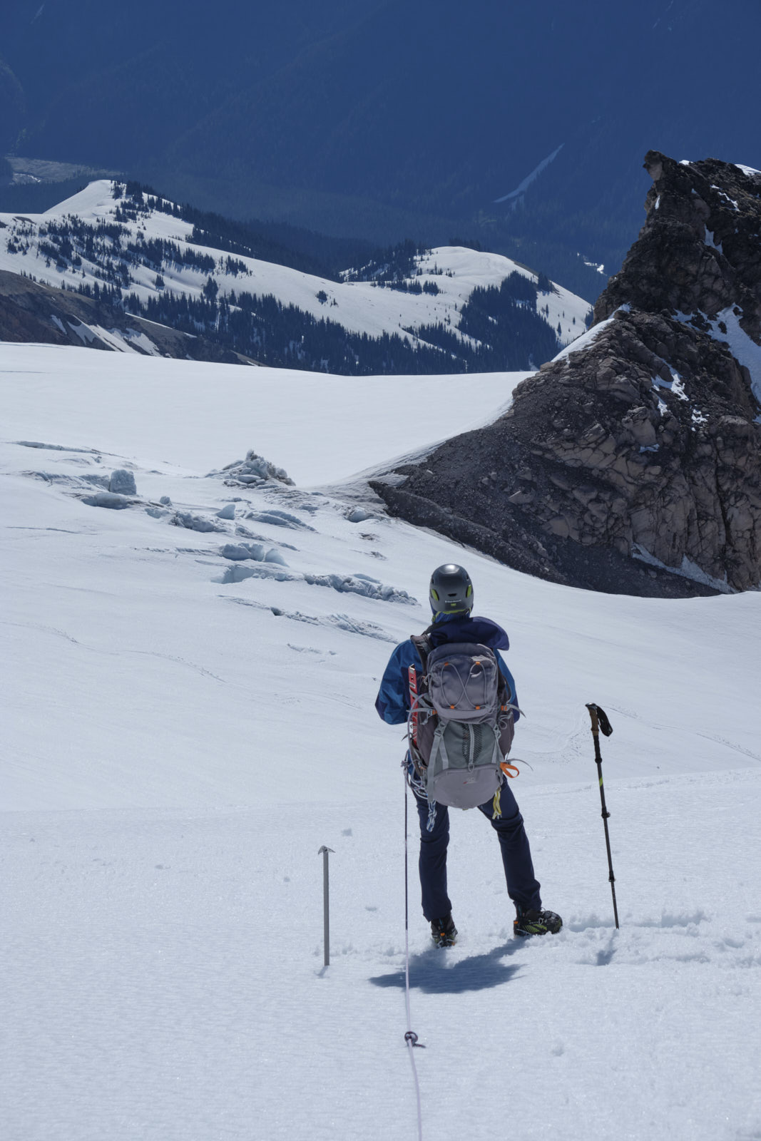
We roped up to cross the Gerdine Glacier and go around Disappointment Peak. There were some seracs sticking out of the snow around the interface of the Cool and Gerdine Glaciers, but crevasses were still firmly buried under the snowpack and navigation was straightforward. The sun was starting to come up and light up the surrounding peaks with soft morning light.
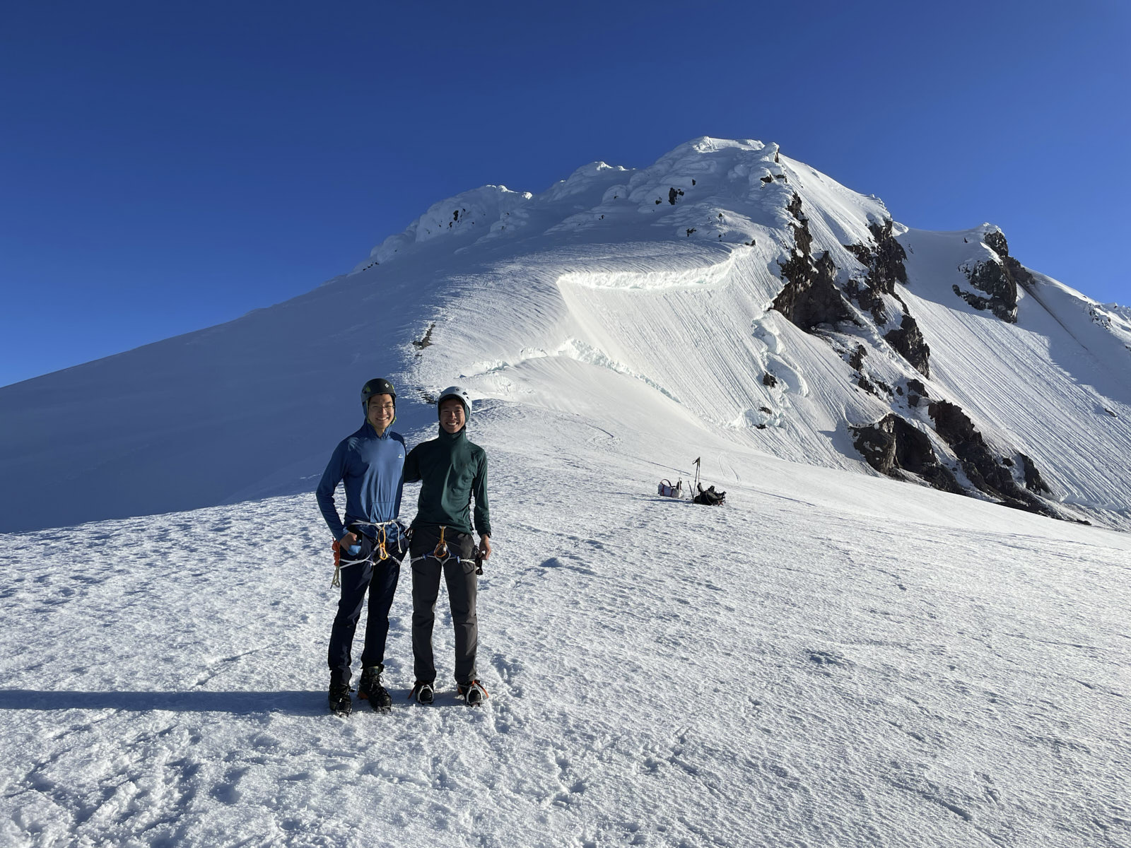
We unroped at the ridge above Disappointment Peak since we were off of the glacier. We also met a party of four there that just came down from the summit, and exchanged some group photos :)
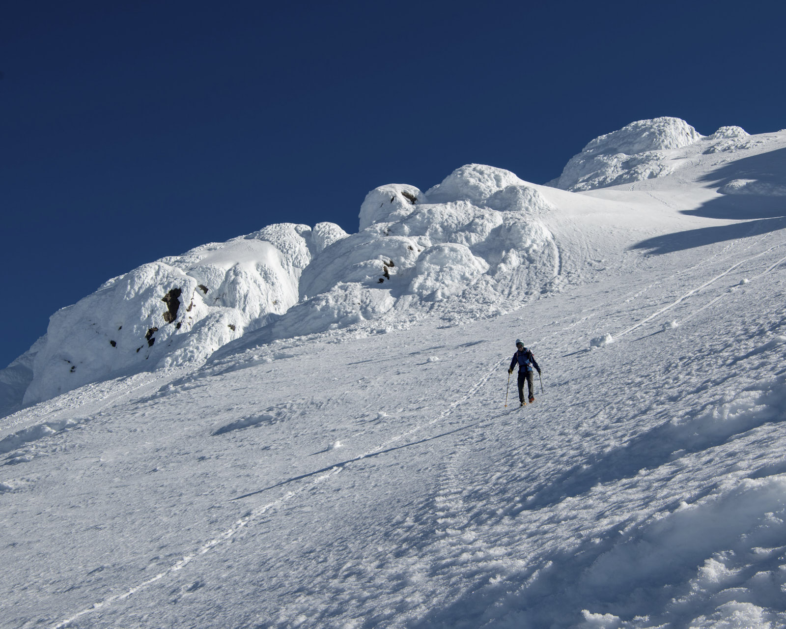
We then followed their bootpack up to the summit. This last part of the route looked very steep from camp but turned out not to be so bad. It seems things always look steeper from afar.
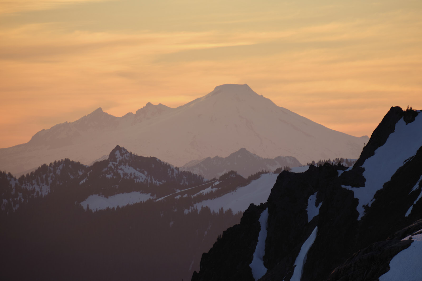
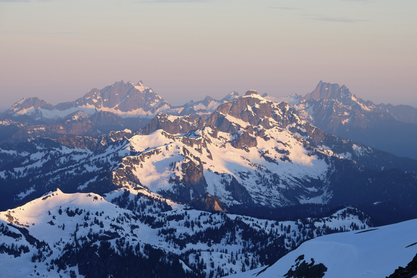
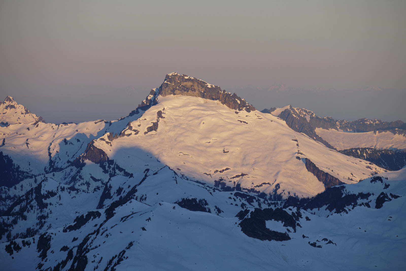
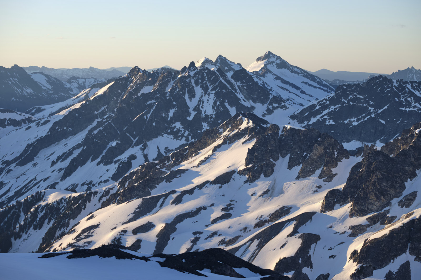
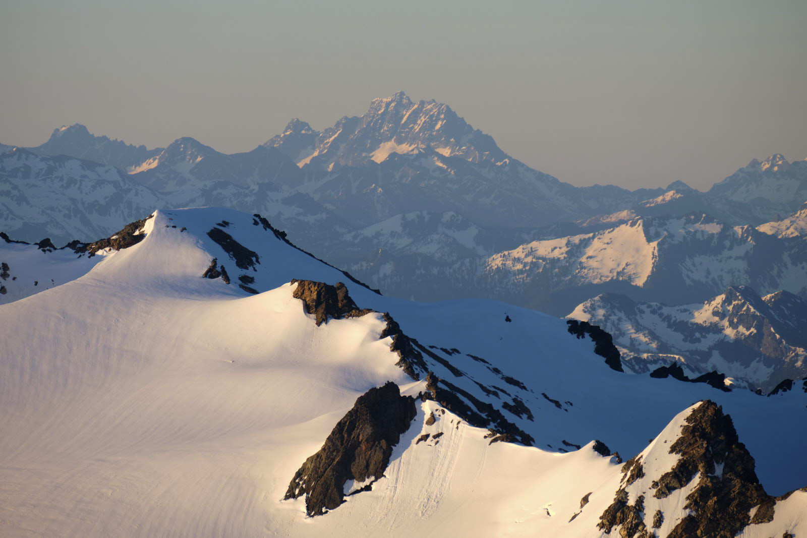
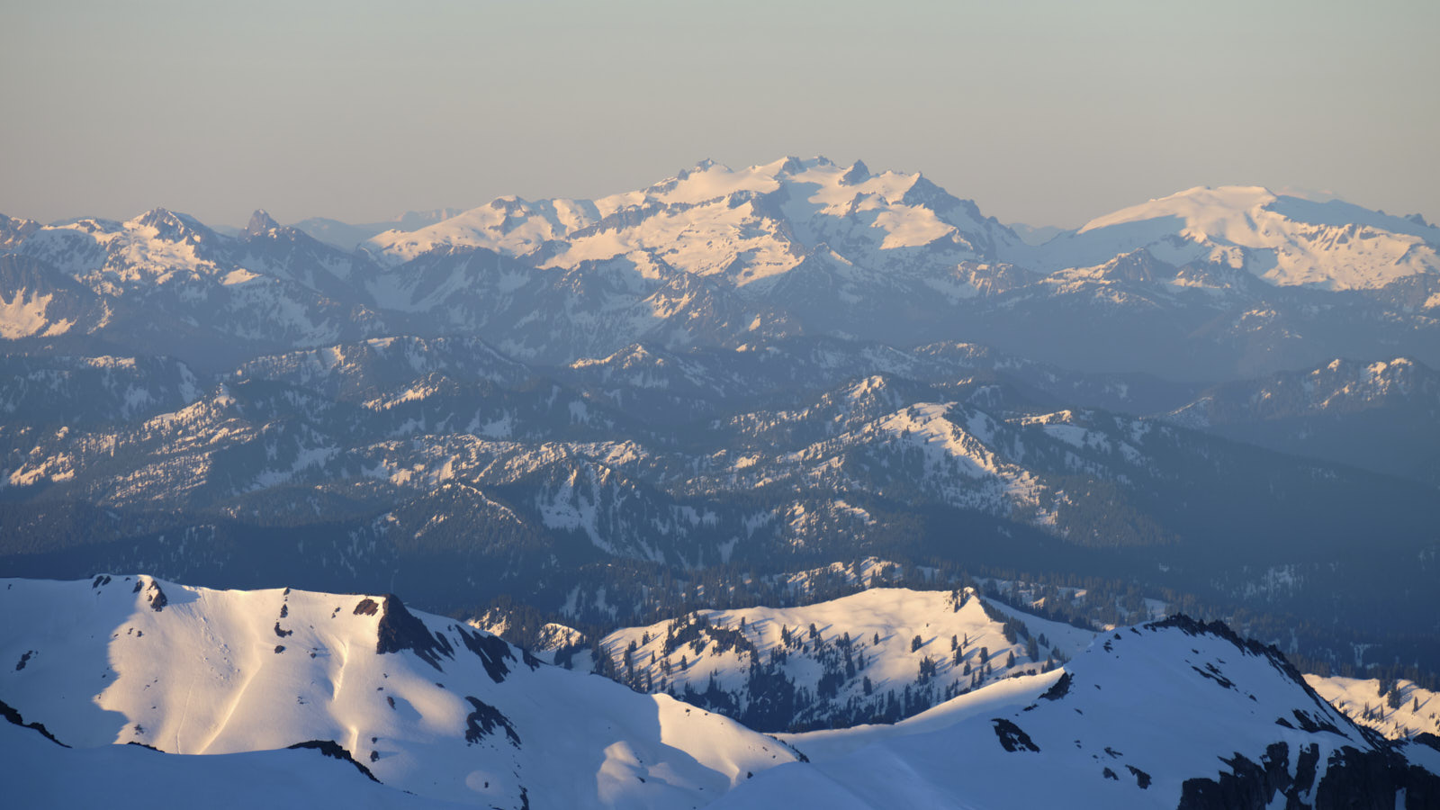
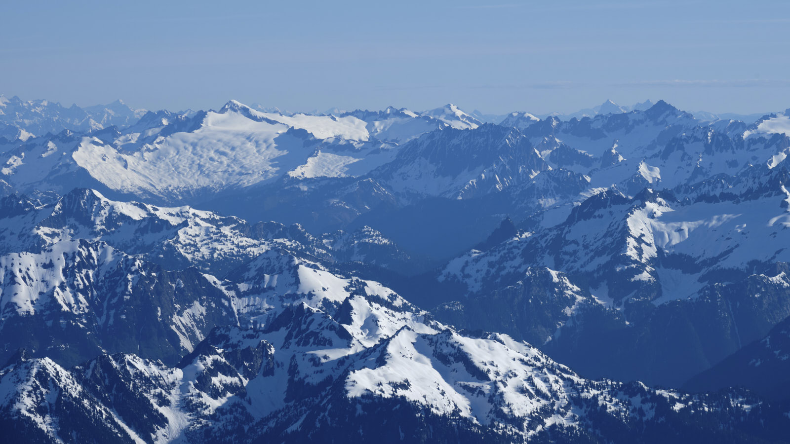
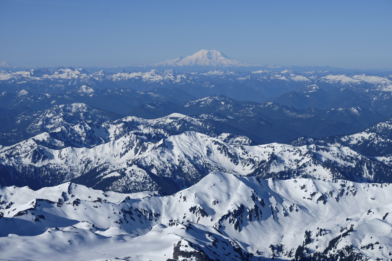
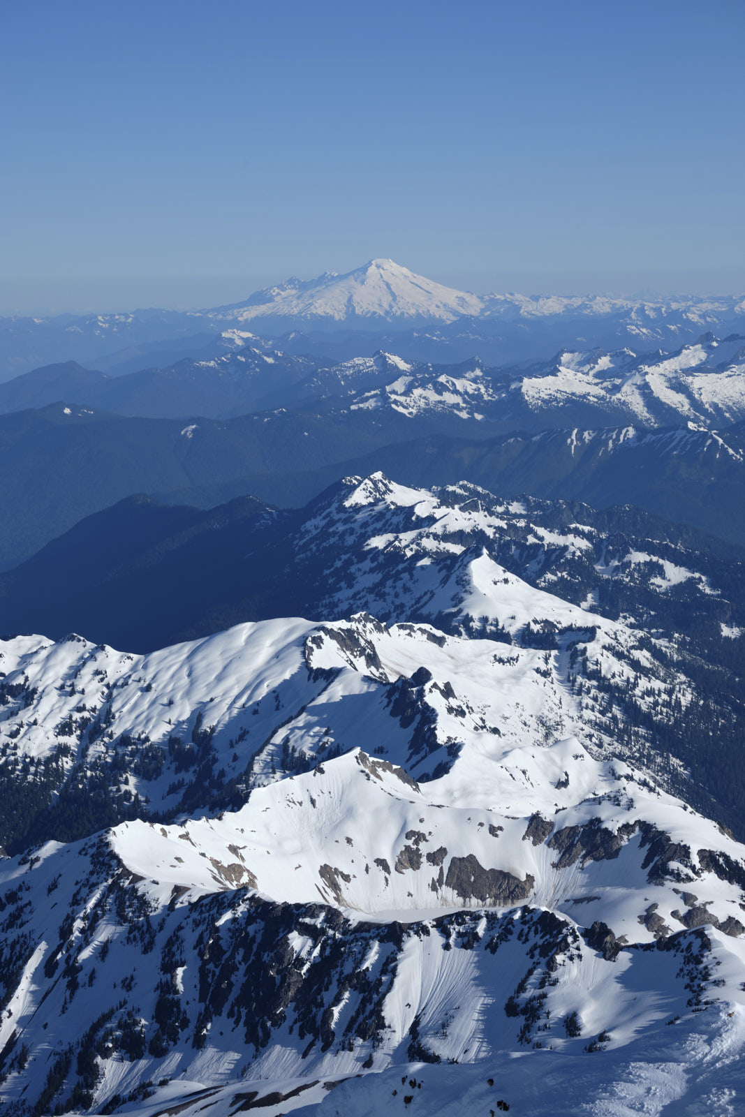
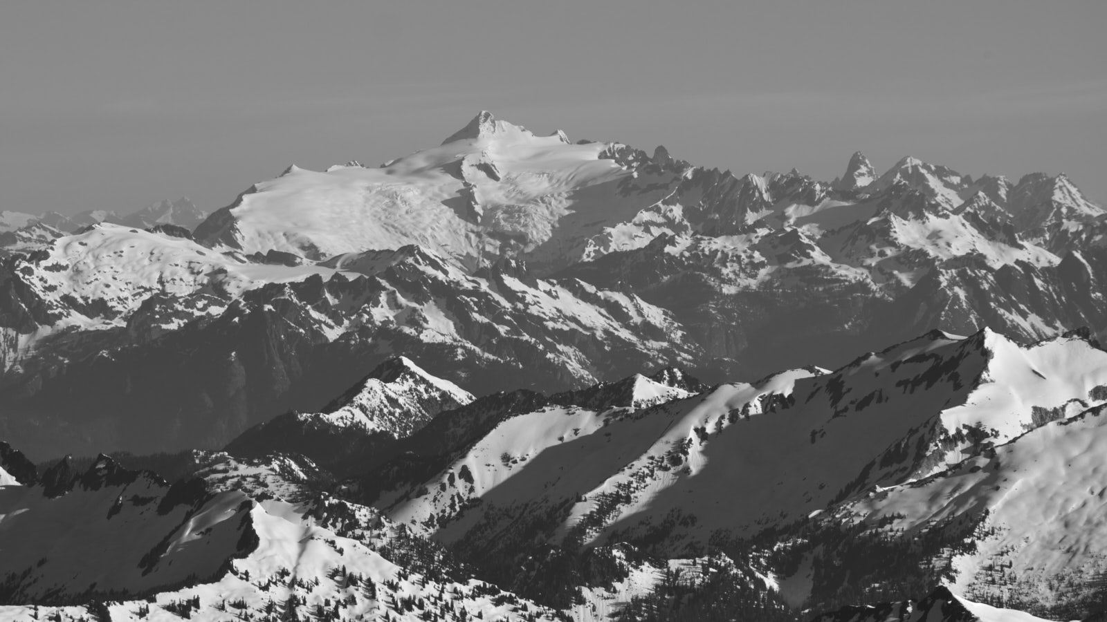
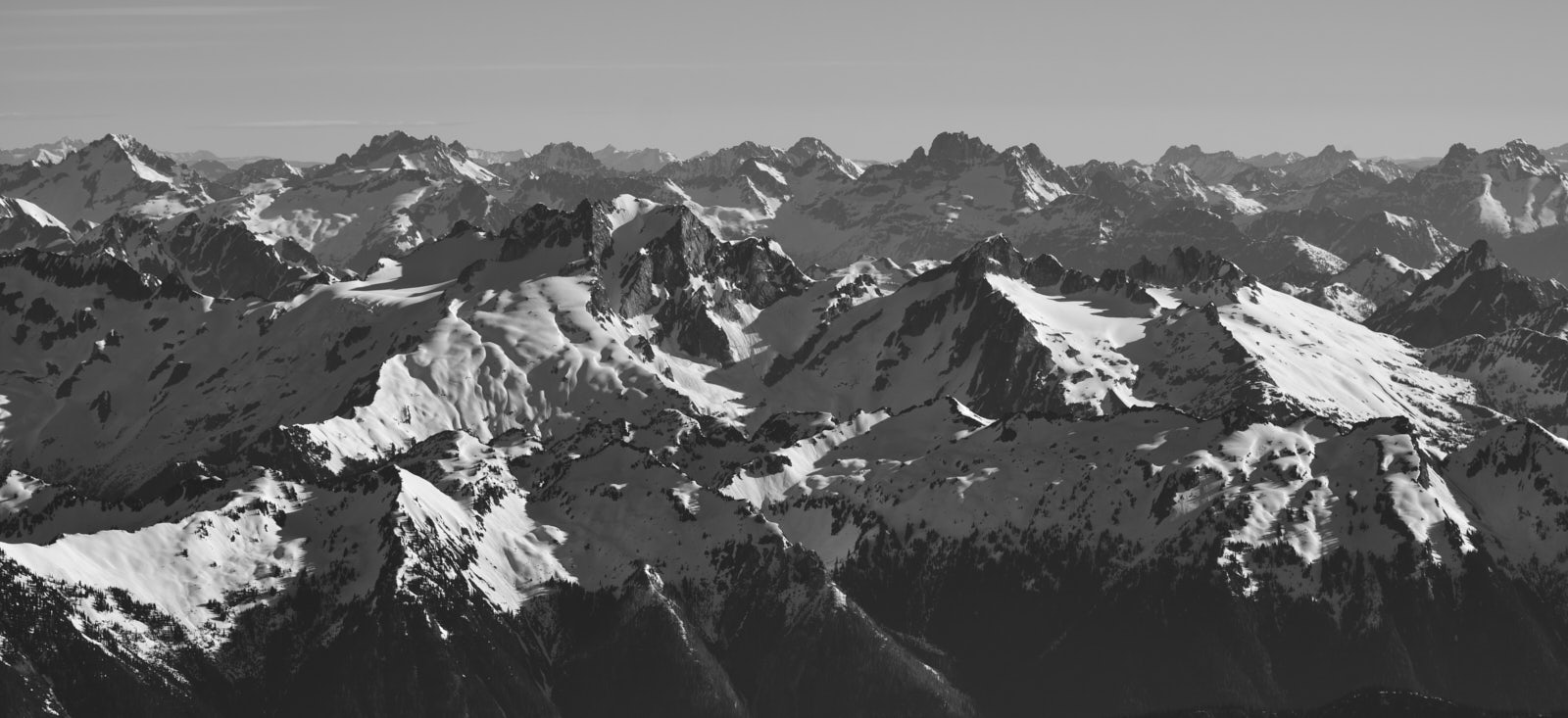
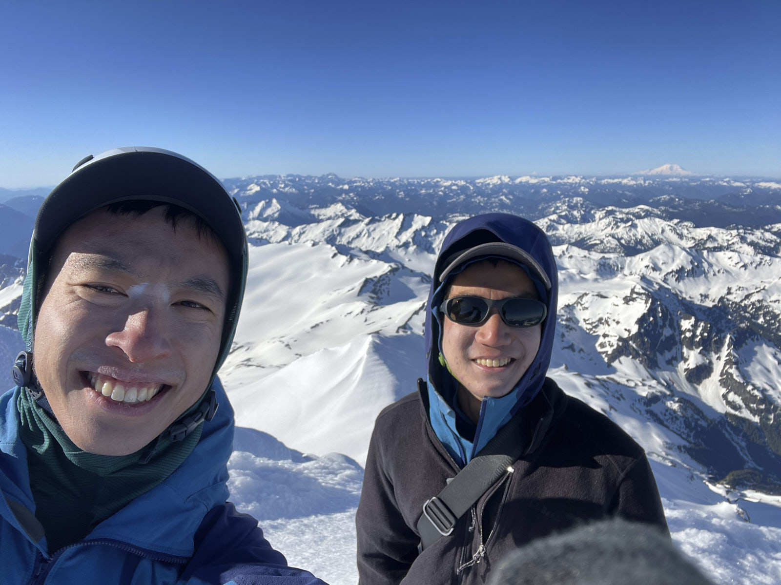
Views from the summit were truly spectacular! Since Glacier Peak is embedded within the Cascades, there are many mountains to gawk at in every direction. I was most impressed by the cross-section west-to-east view of the entire North Cascades, with many familiar mountains in one vista. It wasn’t too cold or windy and we had the summit to ourselves, so we spent a long time taking pictures.
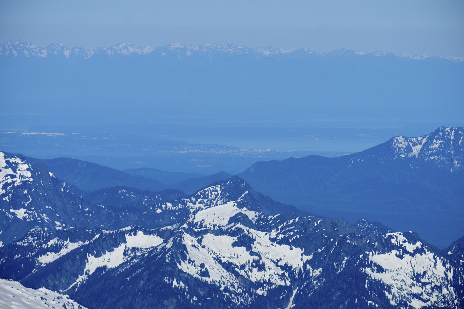
We were surprised to see what I think was Seattle. It was a weird mental juxtaposition to see a city while being in a remote wilderness area.
Unfortunately we couldn’t stay forever and reluctantly started our descent back to camp. We roped back up before crossing the Cool Glacier, and passed by a few parties on their way up while hiking down.
We chatted with the party of four we met earlier at their campsite at Glacier Gap and learned that the wind had snapped their tent poles; oof!
So we trudged to our campsite with some dread of what we would come back to, but discovered that some good samaritan had buried our collapsed tent in snow to prevent it from blowing around! The tent and everything inside were unharmed.
Our neighbors’ tents were also rolling around in the wind, although they didn’t go far due to the stuff inside weighing them down. We did our best to stabilize them, but it was futile without dismantling their tents and burying them in snow as well. We weren’t sure they wanted that, and since they’d already survived hours of rolling around, we just let them be.
Day 2++, hike out
We had planned on staying another night, but there was no way we could keep our tent in such a windy spot. We’d either have to move camp or cut our trip a day short and hike out.
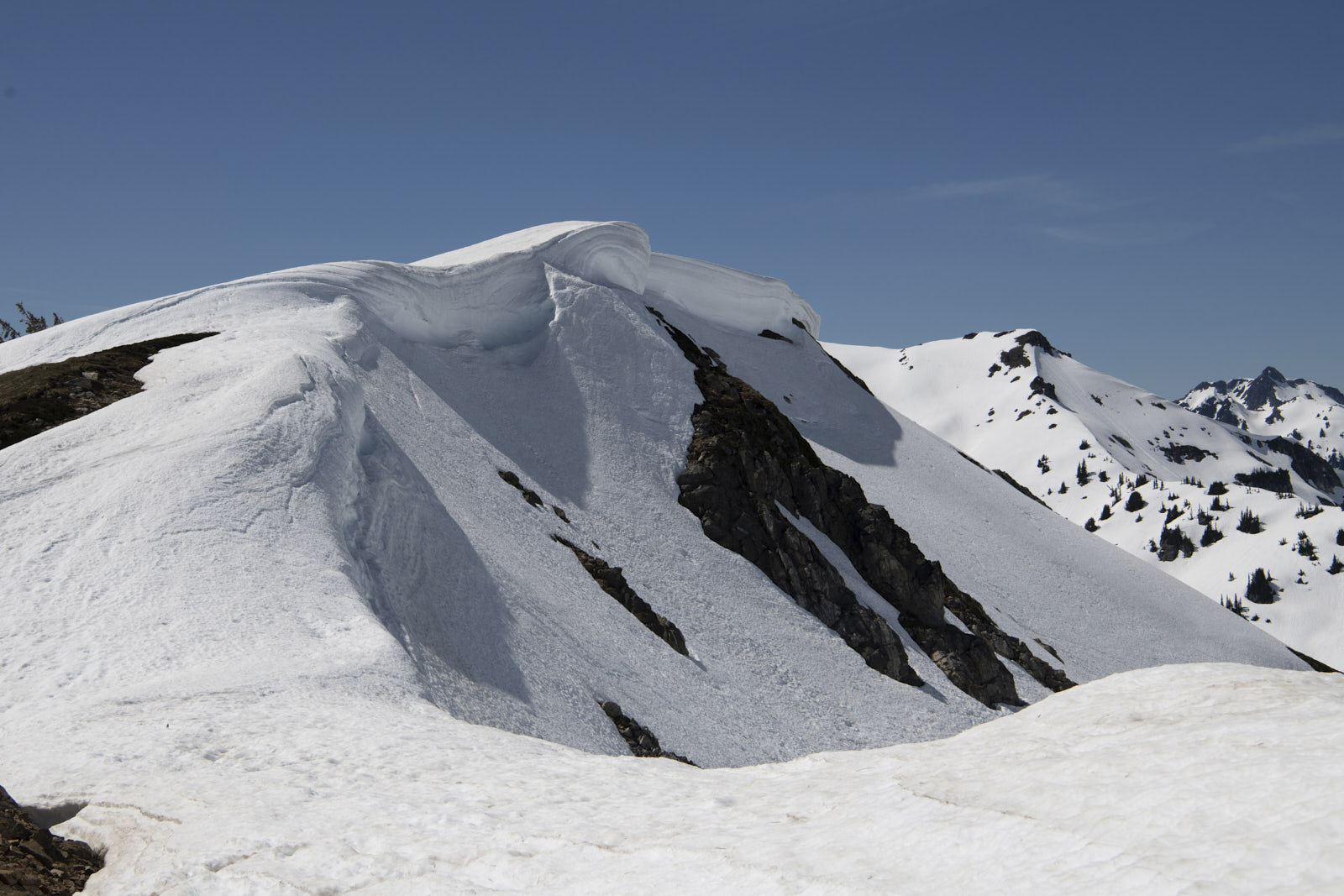
We were loath to re-setup camp, and the thought of not having to poop in a bag sounded pretty appealing, so we decided to hike out right away. Given the daytime heat, though, we were concerned about wet-loose avalanche risk on the long, steep sidehill. We decided to take the “winter route” back which minimized our time on steep slopes to just the ridge crossing. This went well overall. There was some overhead hazard from cornices in the gully we used to cross the ridge, which we mitigated by staying on the left side of the gully and moving quickly.
We then speed-walked down the trail for what felt like an eternity and arrived back at the car at 8pm, which gave us just enough time to get to Darrington for some Mexican food.
Glacier Peak was definitely an all-time trip for me - our first experience with independent glacier travel, breathtaking scenery, a major peak bagged, and enough unknowns to make for an adventure.
-
I can actually see it from my apartment rooftop, which automatically makes it 10x more appealing to climb. ↩︎
