Mount Baker via the Easton Glacier
Learning the ropes of glacier travel on Mount Baker
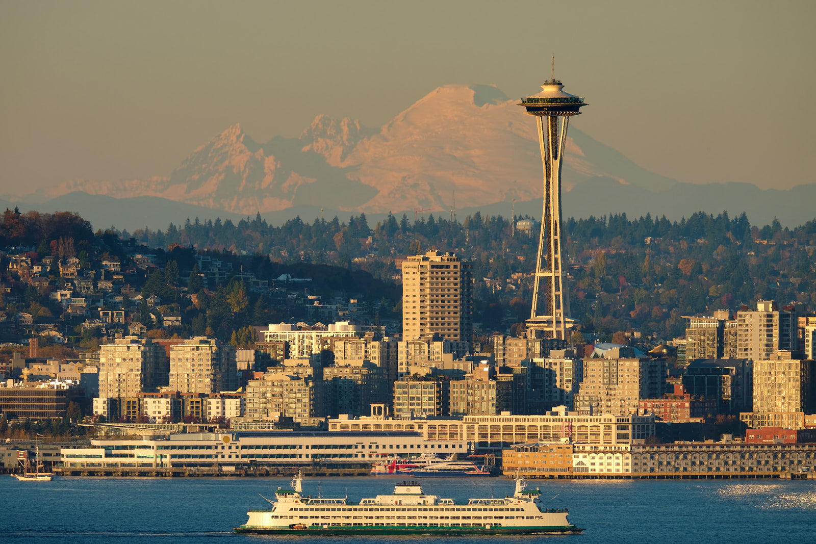
Mount Baker is one of Washington’s iconic peaks - the biggest mountain in the northern half of the state and visible from nearly every high summit and some of the lowlands too. It’s the third highest mountain in Washington and the second most glaciated (after Rainier) as it sits close to the sea and receives tons of snowfall each winter.
All routes to the summit cross crevassed glaciers, and knowledge of roped glacier travel and crevasse rescue techniques are considered mandatory to safely climb the mountain. Baker is a common location to teach these techniques given the easy access, low-angle standard routes, and lack of permitting restrictions.
Tim and I had signed up for an 8-day rock and glacier mountaineering course in May. We spent the first four days camping and rock climbing at Vantage, where we gained some valuable experience. But we’re more peakbaggers at heart than rock climbers so we were really looking forwards to the alpine portion of the course.
Baker’s shorter but equally iconic neighbor Mount Shuksan was the default course objective, but the weather forecast for the Baker/Shuksan area initially looked totally foul and our guides started talking about some comparatively obscure glaciated peaks on the east side of the Cascades. However, the stormy forecast miraculously cleared up during our last two days in Vantage, and we decided on climbing Baker. I don’t know whether our guides cared much either way, having climbed it literally dozens of times, but I was stoked!!
We were planning to spend three nights camped on the mountain, so we stuffed our packs completely full at 40+ pounds each. Since we had an uncharacteristically wintry spring season in the Cascades, we could only drive to 2.5 miles from the trailhead before we had to get out and start hiking the snow-covered road.
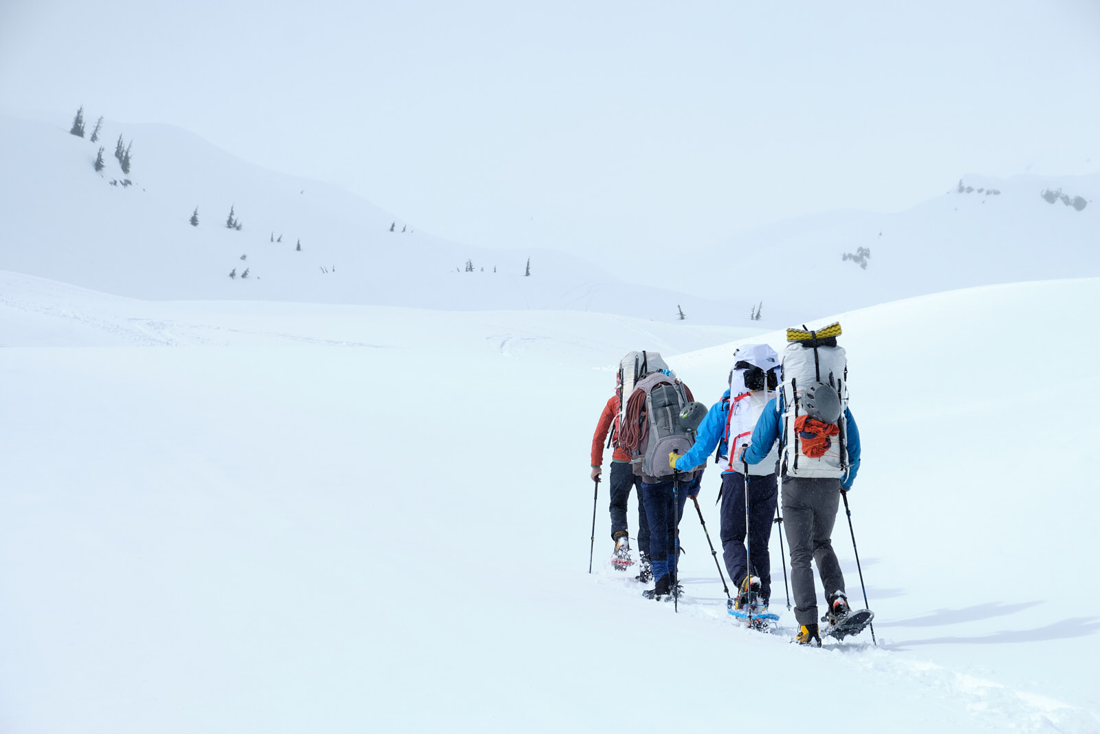
Soon we started postholing and donned snowshoes, an unsavory prospect for the backcountry skiers of the group. But it was business as usual for Tim and I. We kept a good snowshoeing pace and when we started to pull ahead of the group, our guide Stephen gifted both of us a 60 meter climbing rope to even out the pace. Quite an honor! My pack now weighed around 50 pounds and I felt it, but at least I was glad that the pre-course training seemed to be paying off.
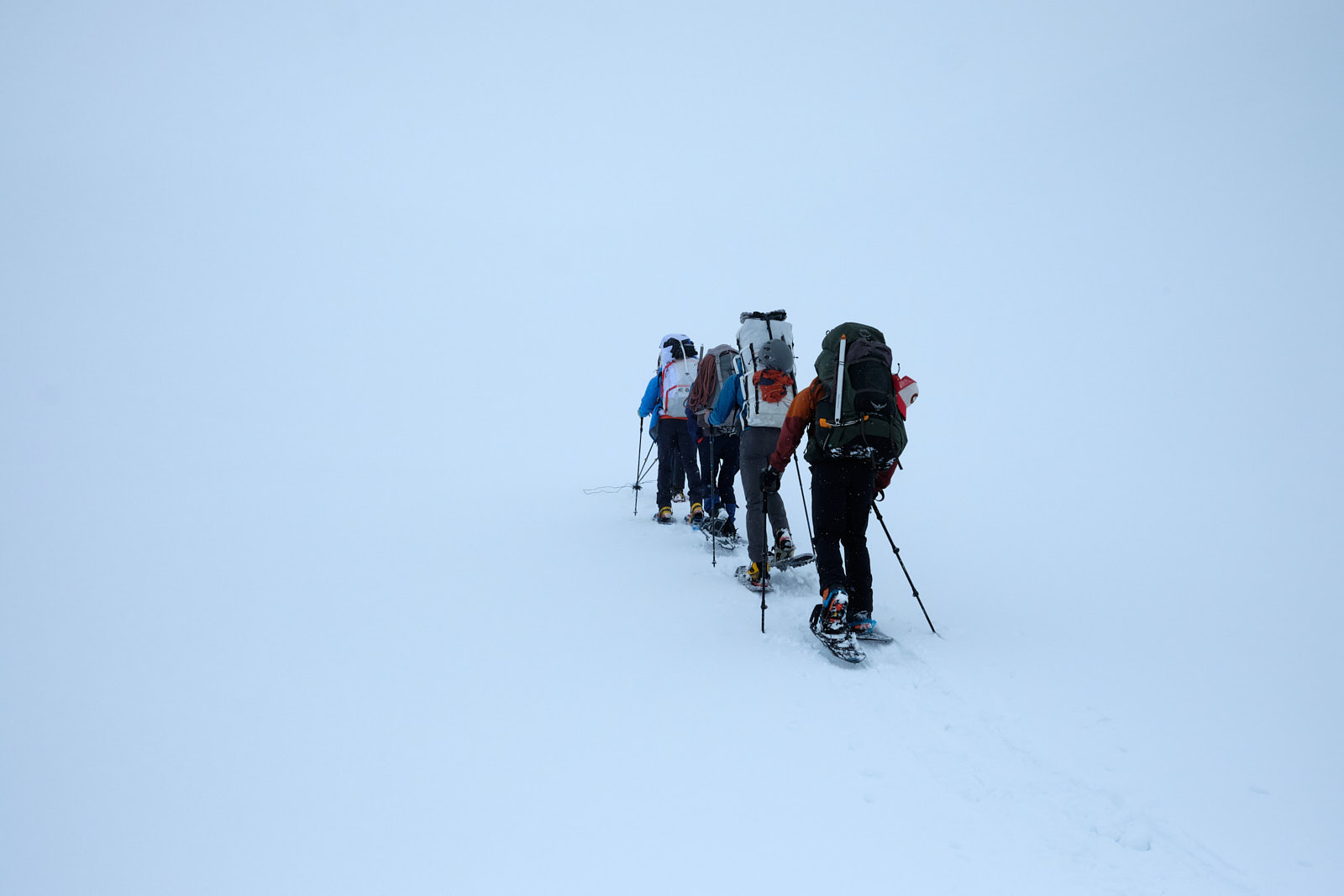
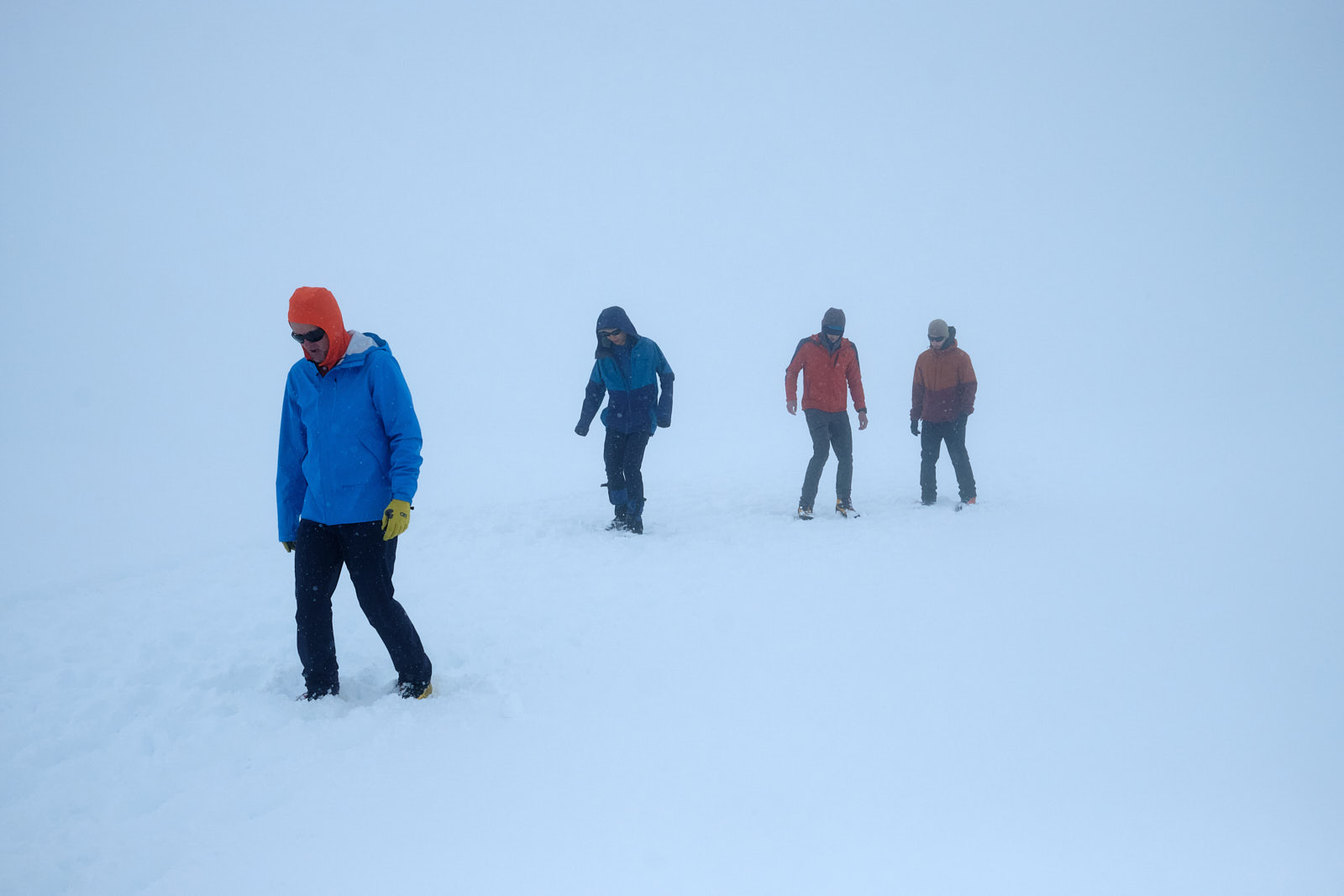
It started snowing lightly and visibility dropped, which we expected from the forecast. Stephen, who could probably navigate the route blindfolded, led on unfazed. When it really started to get disorienting, he tied a string to the end of his trekking pole and cast it around like a fishing rod to judge the slope gradient. I’d heard of this technique before but it was my first time seeing it in action.
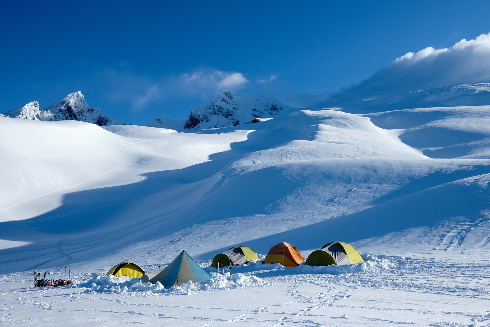
Finally we reached a flat spot and the guides declared that we’d arrived at camp. I had to take their word for it, because so far we hadn’t even seen the mountain we were hiking on. We got to work preparing the campsite, first by stomping down and firming up a large area of snow where we’d set up our tents.
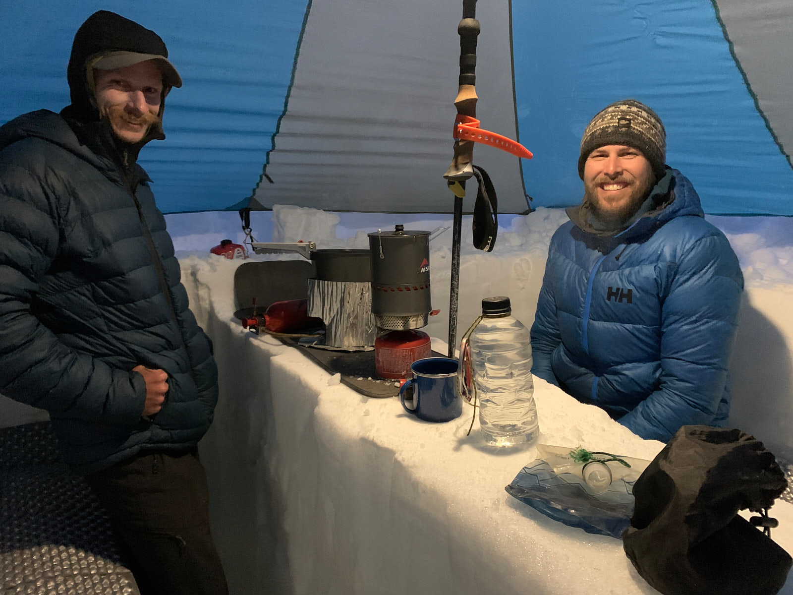
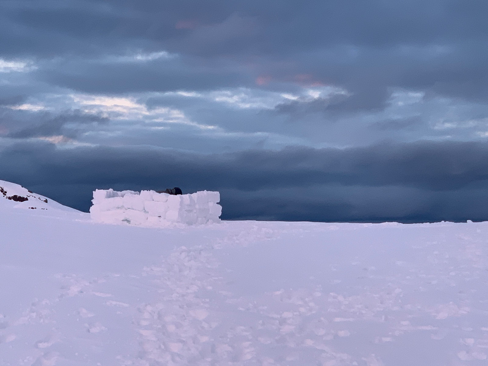
“Expedition camping” in the snow is interesting because you play an architect. You can dig holes in the ground to form benches and tables. You can cut big bricks of snow to build walls and igloos. Our guide Arthur was a master at making these bricks and promptly set to work building a walled-off private toilet area some distance from camp. For Tim and I, we dug a trench under our tent vestibule to give us a nice space to put on boots and cook in stormy conditions. We also built some wind walls around our tent, although our wall was pretty pitiful compared to Arthur’s creations. It was worth investing some time into making our home on the mountain comfy since we’d be staying for a while.
If we had taken this course mid-summer, we’d probably just be camping on dry ground like any other backpacking trip. I was happy to be doing it in winter conditions, because we got a winter camping education for free!
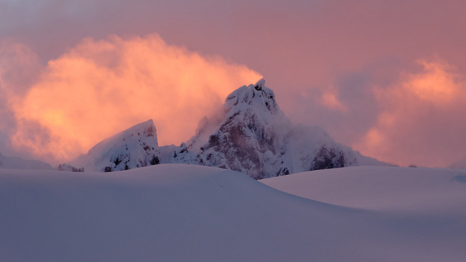
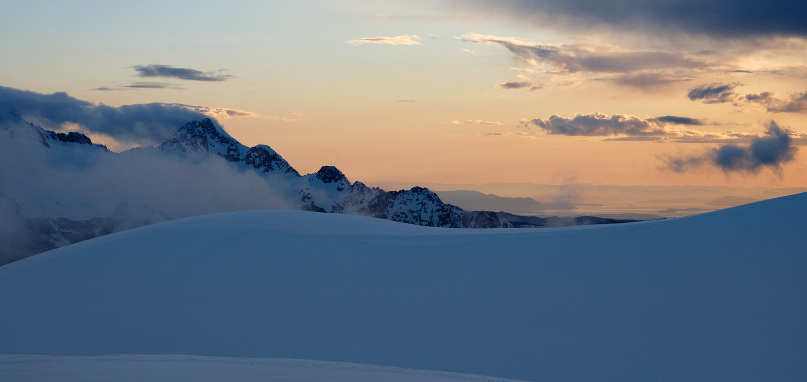
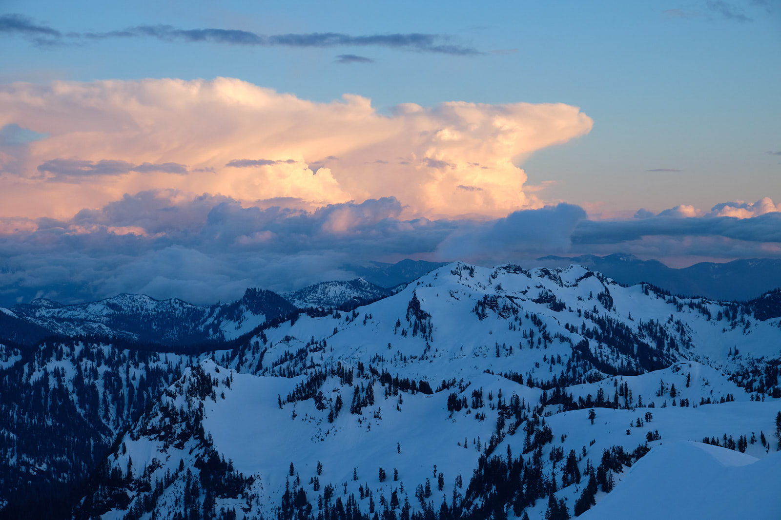
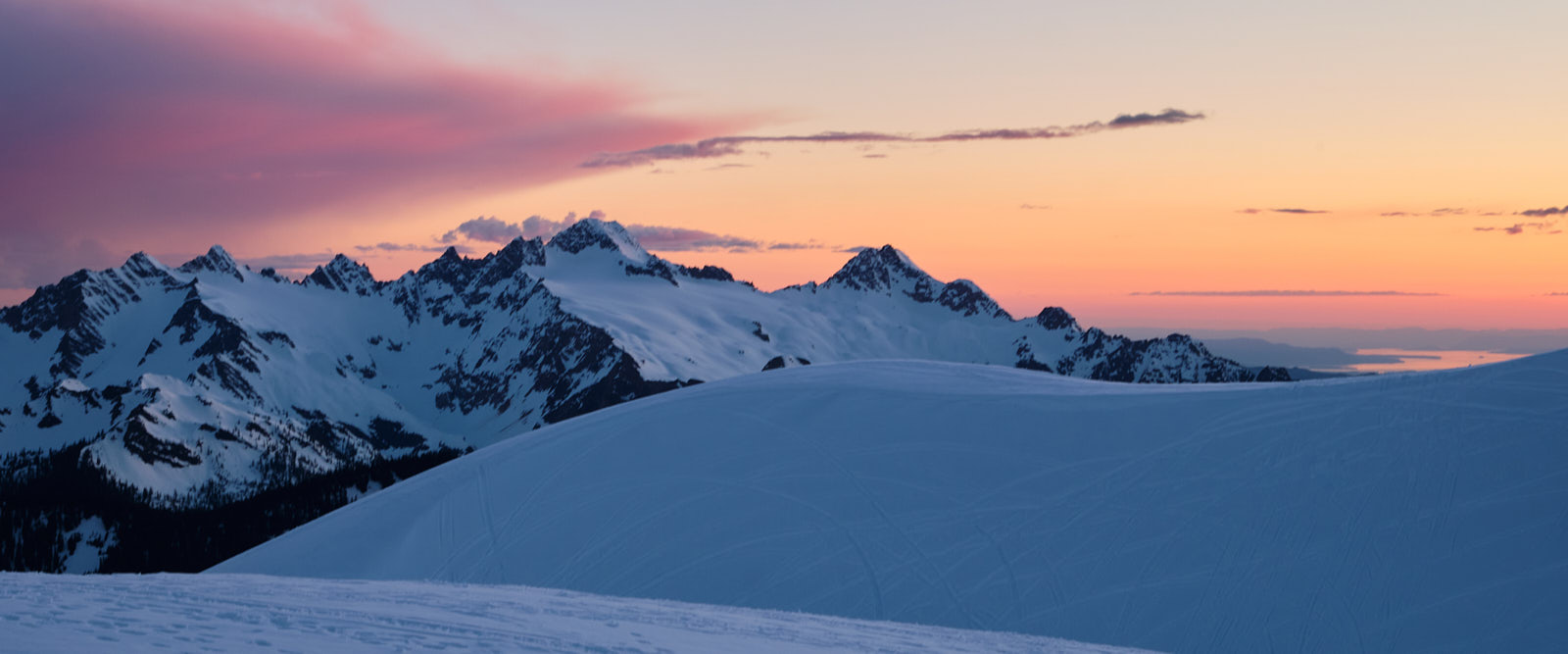
I had a quite a chilly night with little sleep but still got up early for some sunrise photography. It was a beautiful, calm morning. The summit, however, stubbornly remaind shrouded in a lenticular cloud. While a few groups passed through our camp on the way to the summit, I didn’t hear of any group making it that day. The high peaks can catch weather like that, even if the surrounding lower peaks are in the clear. I knew it was very possible we’d have the same problem for our summit attempt the next day.
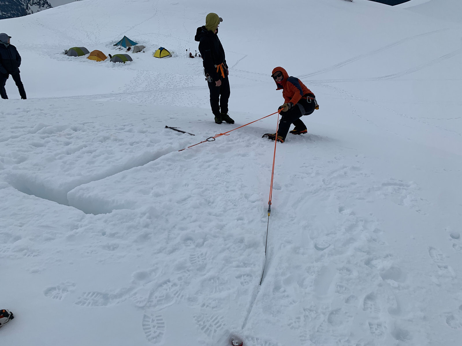
Our focus on day 2 was to learn glacier travel. We started with cramponing and ice axe skills - mostly review for Tim and I, but more practice never hurts. We then moved on to building snow anchors, rope team travel, and using pulleys and mechanical advantage to haul someone out of a crevasse.
I’d done a good amount of studying on YouTube and practiced setting up pulley systems in my apartment before the course, which helped a lot. Getting practice in an actual snowy environment was invaluable though and helped solidify what I’d studied at home. The only non-ideal bit was that since the snowpack was so fat, all of the easily accessible crevasses were still buried under feet of snow, and we had to make do with practicing on a snowy hill. I was kind of looking forwards to the experience of dangling in a crevasse, but oh well! Another time.
Snow showers came on and off towards the end of our glacier school, and I went to bed that night with low expectations on whether we’d have good enough weather to make the summit the next day. This night, I took the advice of the guides and boiled a liter of water to put in a nalgene bottle and keep in my sleeping bag. This really worked wonders and the warmth lasted for hours. I’ll definitely be using this technique again for future cold weather camping trips.
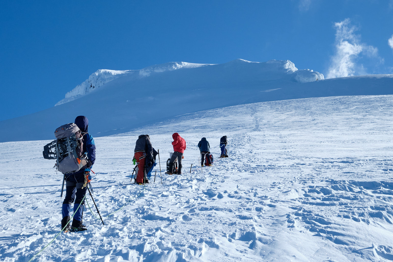
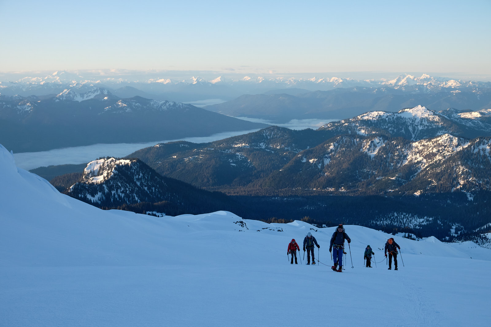
When the 3am alarm went off, I was already awake. I put on my boots and warm layers and hurried outside, eager to see what weather conditions awaited us at the summit. Amazingly, the summit was totally cloud-free for the first time during this trip. I couldn’t believe our luck. Game on!! My tiredness vanished from my mind as we geared up and assembled into three rope teams of three. I shared a rope with Tim and Stephen.
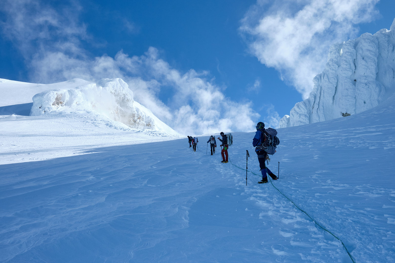
Although we were hiking on a glacier, it was hard to tell since all of the crevasses were buried under so much snow. However, I’d seen this side of the mountain at summer’s end before, and knew we were walking right over some huge house-sized cracks. Realistically there was little chance that anyone was going to break through the thick snowpack today, but I was still glad to be on a rope!
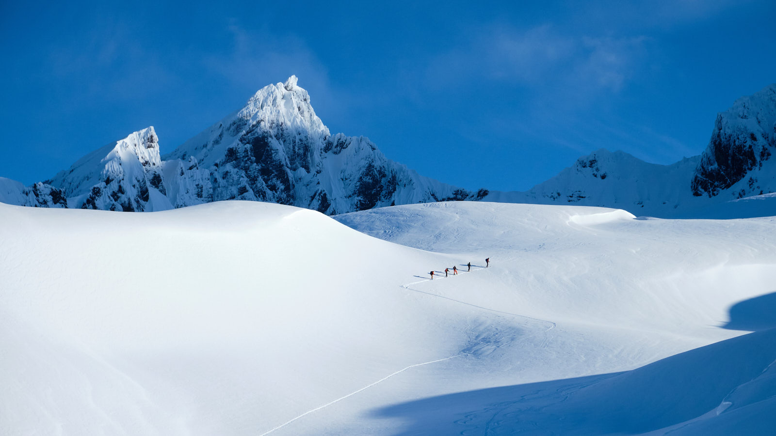
Without any exposed crevasses to dodge, navigation was trivial and we plodded straight up the mountain. Taking pictures is a bit harder on a rope team where everyone has to move in sync, but I got my fair share of shots in nevertheless.
Everyone was moving well and we plowed through our planned breaks, only stopping at the volcanic crater below the steep-ish final segment known as the Roman Wall. I looked into the belly of the beast as copious amounts of steam billowed from the crater. I was also surprised to see snowmobiles driving all the way up to near the crater rim. Didn’t know that they could go so high! I guess it goes to show how mellow the slope gradient was up until then.
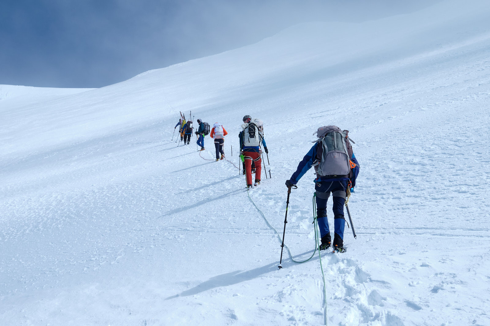
I'd read that the Roman Wall was steep, but it turned out to be fairly chill. Maybe it gets steeper as snow melts later in the season.
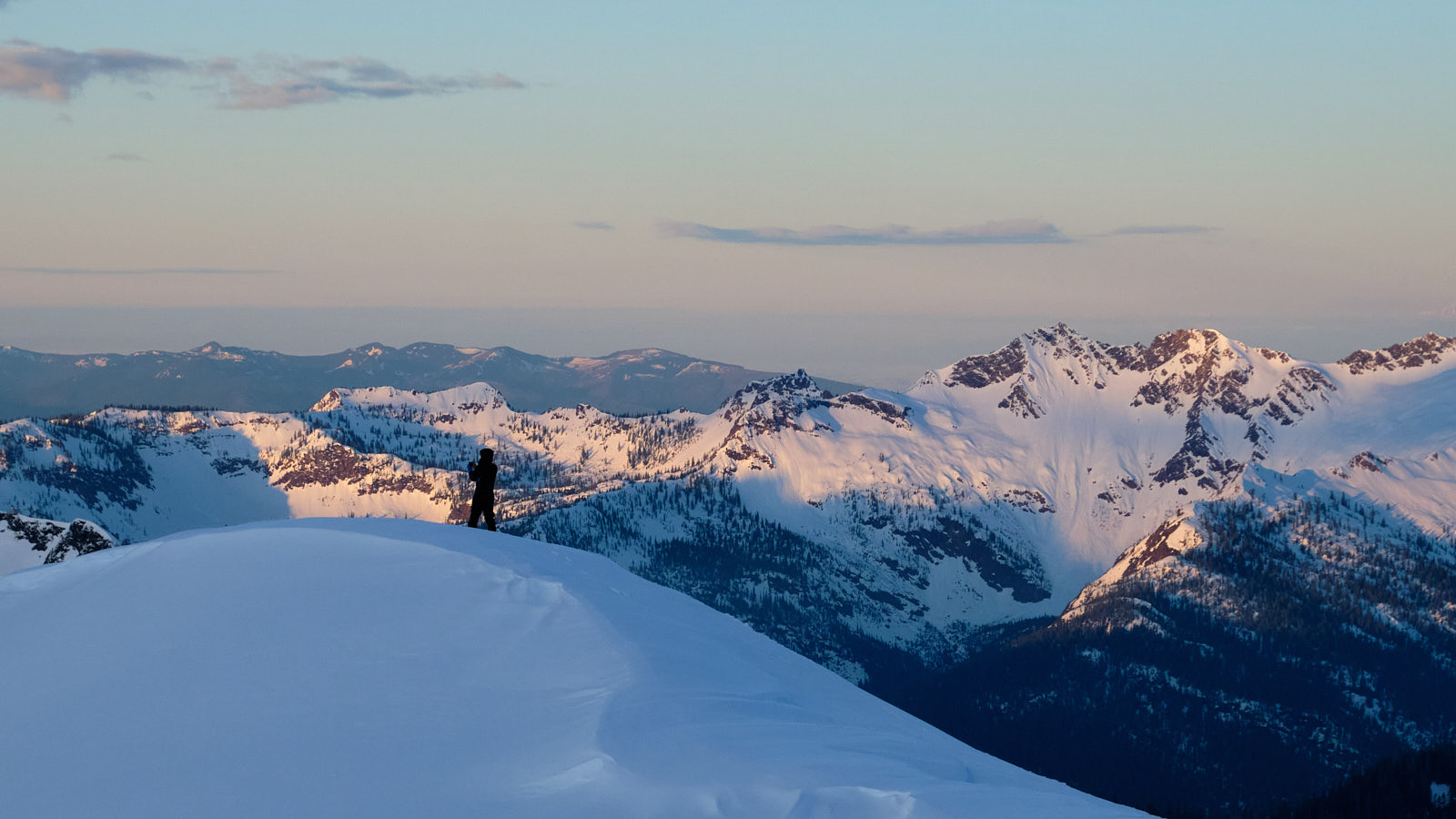
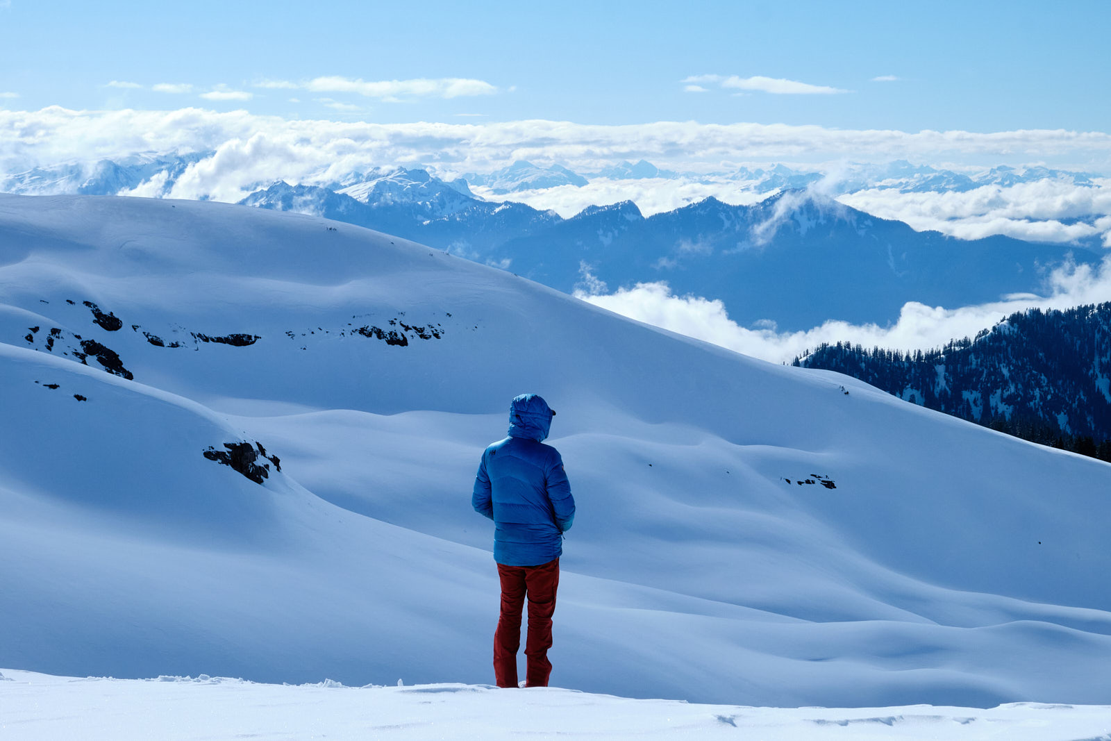
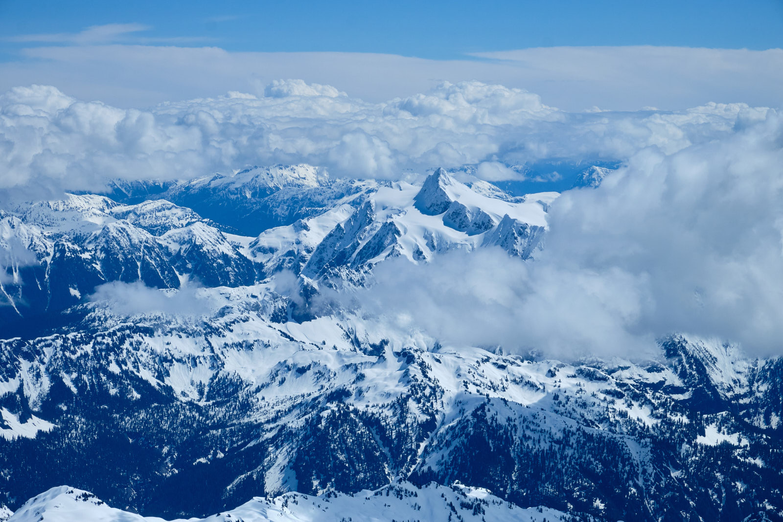
After topping out the Roman Wall, we reached the flat, football-field-sized summit area. We got nice views of Shuksan and some of the North Cascades before cloudier weather rolled in. At 9,131’, Shuksan is only 1600 feet shorter than Baker, but somehow looked tiny from up here.
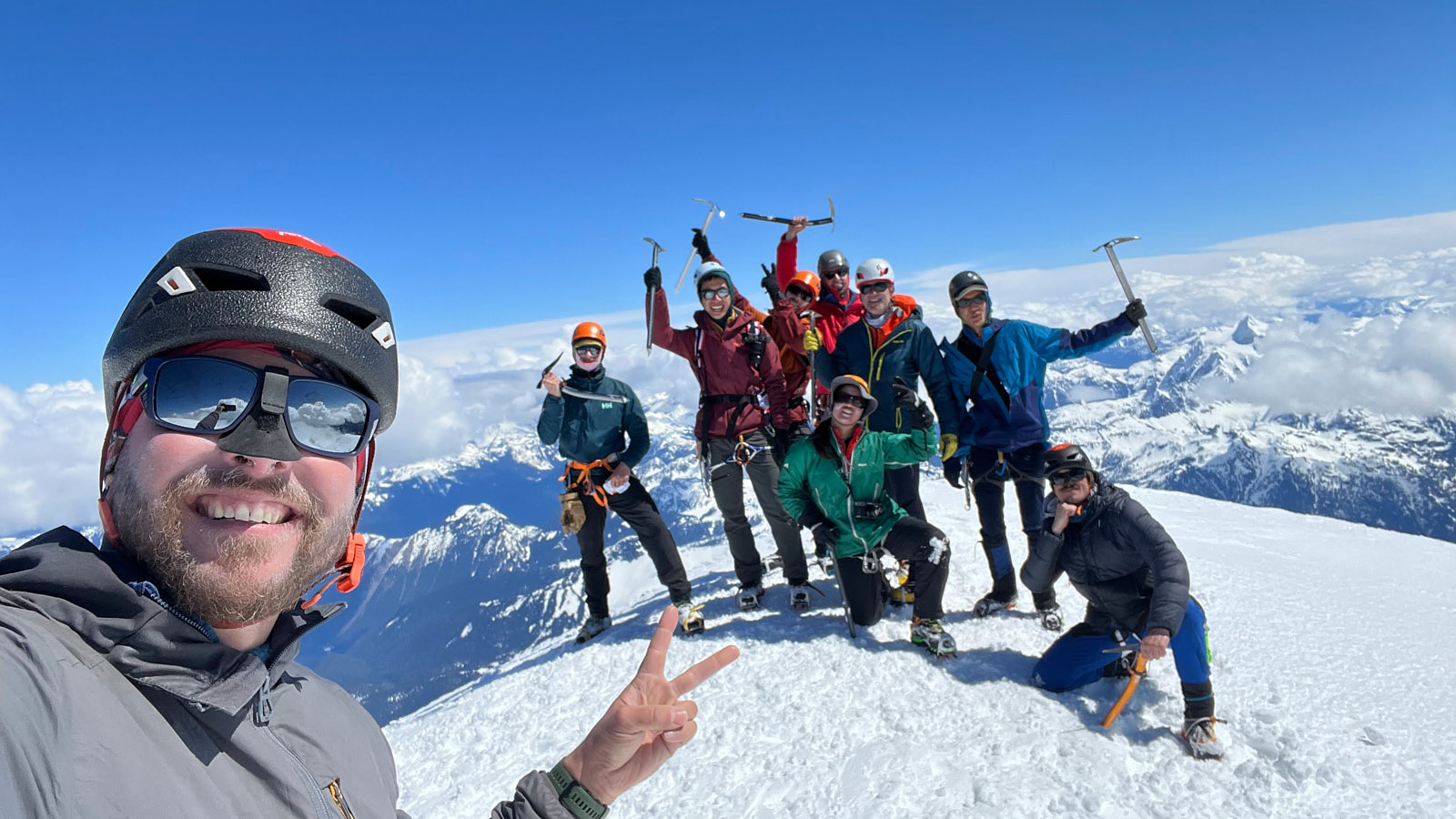
The true summit is a bump at the edge of the summit plateau. We waited at the bottom of the bump for all the rope teams to catch up, then hiked the final steps to the summit together. A nice moment! It felt awesome to be standing on the summit of Baker after admiring it from every angle over the last couple years.
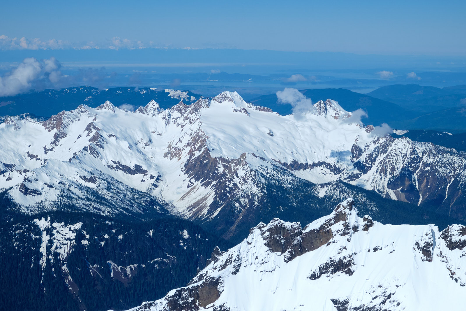
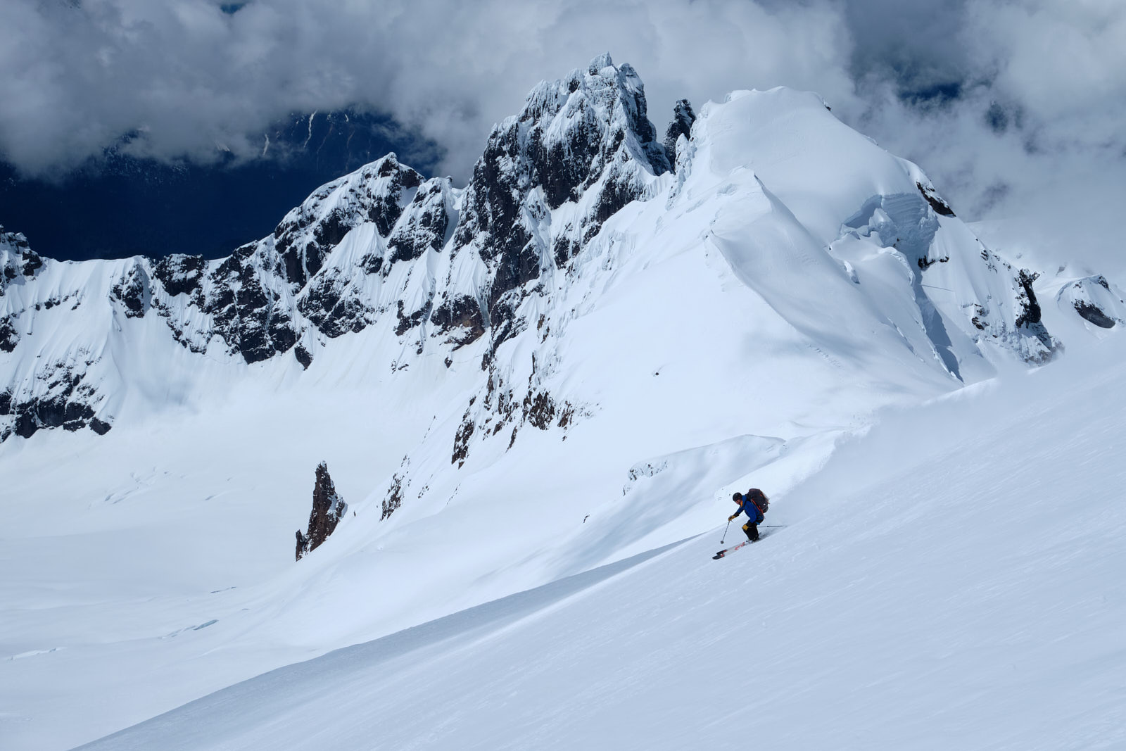
Eventually we started our descent, taking plenty of stops to take pictures of other climbers and the scenery. The group of Baker’s subsidiary peaks known as the Black Buttes looked especially impressive.
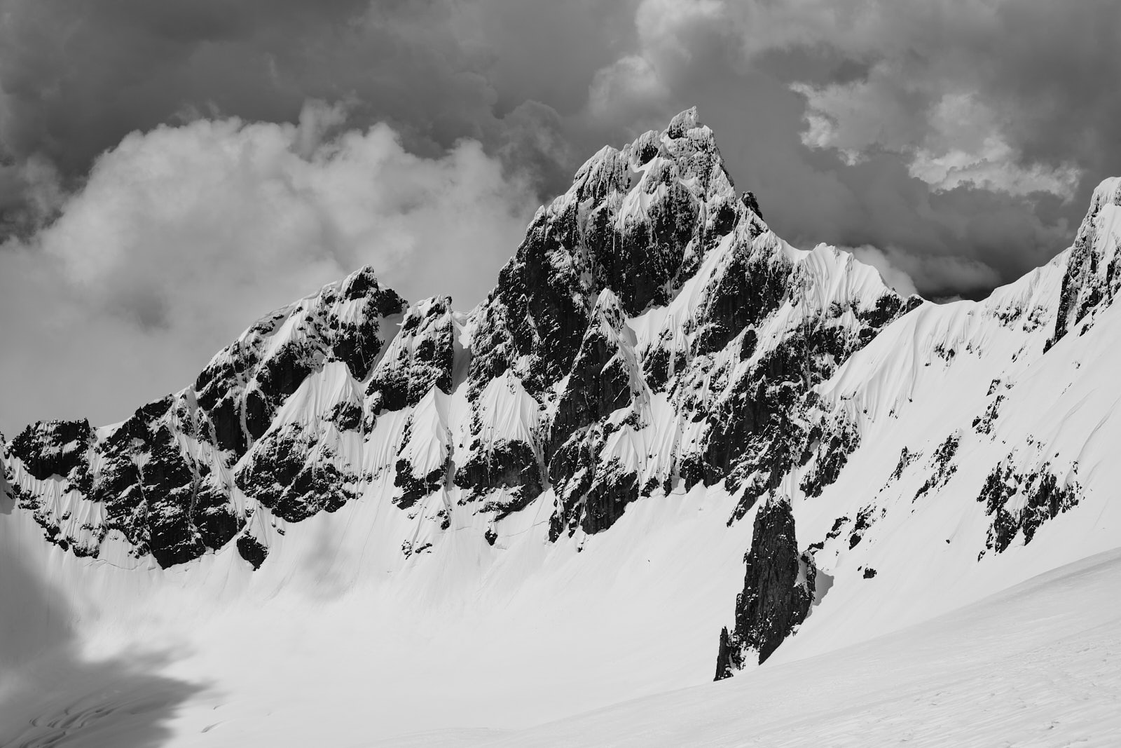
Lincoln Peak, a satellite peak of Baker, is said to be one of the hardest and riskiest summits in Washington. Looking at it, it's easy to imagine why.
After getting down to camp, it was mostly R&R and enjoying yet another sunset on the mountain. On this day though there was tons of snowmobiler activity and noise around camp. There was also a helicopter rescue after a snowmobiler unfortunately broke their leg after falling off of their sled.
I later learned that snowmobiles are only allowed on a thin slice of the mountain (the “Mount Baker National Recreation Area”) - exactly where the Easton Glacier route is. I guess that’s why the other standard route, the Coleman-Deming, is normally more popular for climbers. The road to the trailhead for the Coleman-Deming had been washed out this year, though, so most folks switched to the Easton.
Our campsite was awesome but I was definitely ready to get off the mountain by day 4. We packed up efficiently and made the long trudge back to the van.
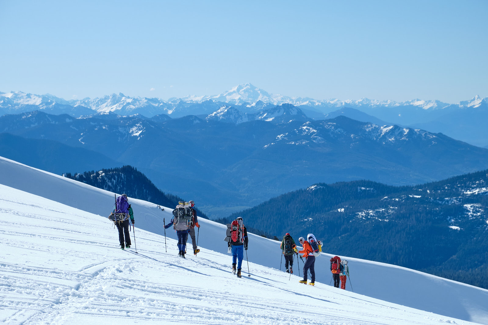
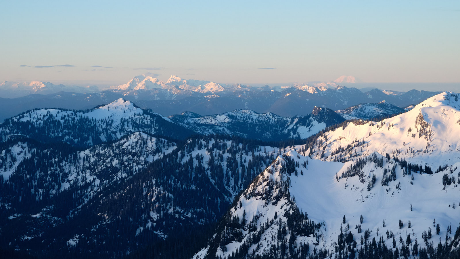
The group hikes out with Glacier Peak dominating the skyline in the distance. I didn't know it at the time, but I'd be paying GP a visit just a month later.
All in all, it was a great experience with great people. Learning glacier travel unlocks a ton of alpine terrain in Washington and I’m looking forwards to putting the skills to use on independent trips!
