Mount Hood via the Old Chute
Climbing Oregon's highest peak
Mount Hood is Oregon’s highest mountain, at 11,249 feet. It’s quite famous owing to its “lonely mountain” aesthetic and being located just 50 miles east of Portland. The road to the ski resort high on its southern slopes is plowed year-round, providing easy access to climbers. These factors combine to make it one of the most-climbed mountaineering objectives in the world.
Despite its popularity and comparatively short climb (~6 miles, 5500’ roundtrip), Hood has steeper sides than all of the Washington volcanoes and even its easiest route requires a section of no-fall-zone ~45 degree steep snow climbing. Unfortunately Hood has been the site of many deaths and injuries over the years and should definitely not be underestimated especially by newer climbers.
Tim and I had spent a long time gawking at Hood from previous climbs up the south sides of Washington’s southern volcanoes Mount St. Helens and Mount Adams. “HOOD LOOKS GOOD,” we’d say. We knew we’d have to give it a go someday.
In January 2022, we had just come off of a long road trip in the southwest where we’d seen enough red rocks for probably the next 10 years, so we were quite stoked on getting out in the Washington winter. However, Hood wasn’t really on our radar since the best climbing conditions are usually in the April-May timeframe. This year, though, we had an unusually spring-like January (“Juneuary”) and on Thursday the 13th I saw a trip report on Facebook saying conditions on Hood were good. The weekend weather and avalanche forecasts looked promising too, so I texted Tim and plans came together quickly to make an attempt on Sunday.
We also had plans to go snowshoeing with friends all the way up north at Mount Baker on Saturday, so after we got back to Seattle we had a very short turnaround time of less than an hour to start the 4-hour drive to Hood at around 11pm. It was essential to climb early as its upper slopes can start shedding dangerous rocks and ice as it heats up later in the day.
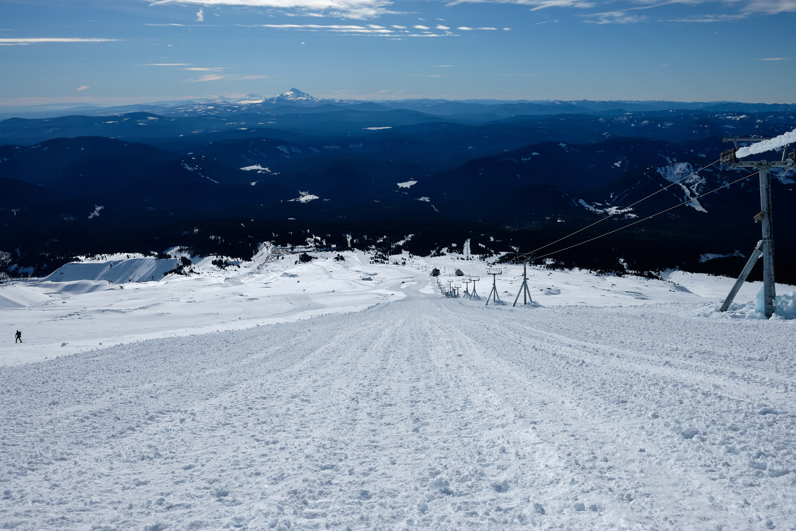
We arrived at Timberline Lodge and got going at 3:42am. We could immediately see that many other folks had also heard about the good conditions as we joined the train of climbers, skiers, and splitboarders trudging up the slope. Hood’s south side routes start with a 2000’ slog up the snowcat track alongside the Palmer ski lift - straightforward but boring. We were on snowshoes which were unnecessary in hindsight given the hard, icy snow.
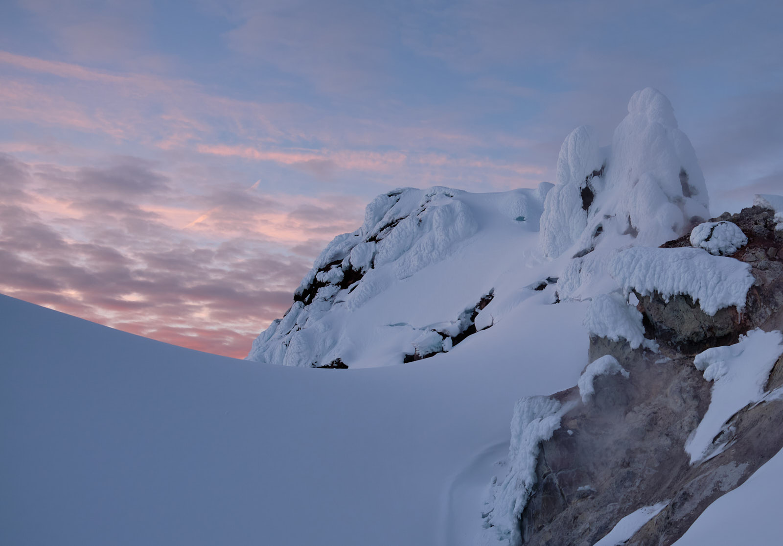
We made good time and topped out the cat track at 5:15am, where we ditched the snowshoes and geared up with crampons, ice axes, and helmets. We then continued upwards through icy chickenheads, losing the bootpack at times but generally aiming right of Crater Rock. Eventually we arrived at Devil’s Kitchen, where the rotten-egg sulphur fumes reminded us that Hood is very much an active volcano.
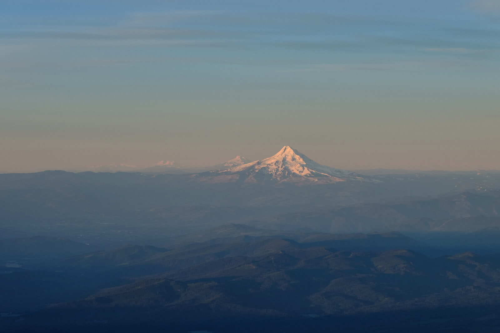
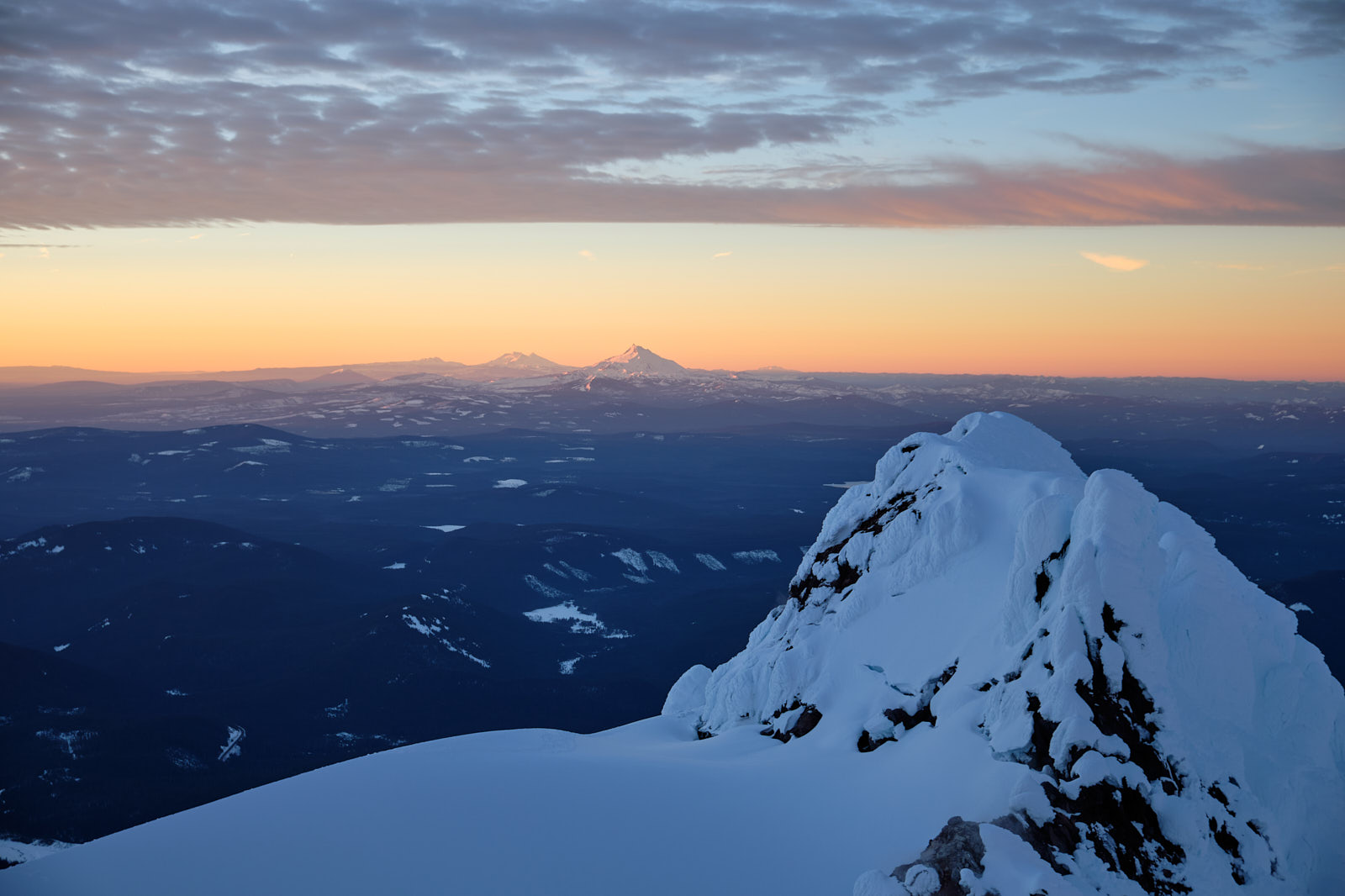
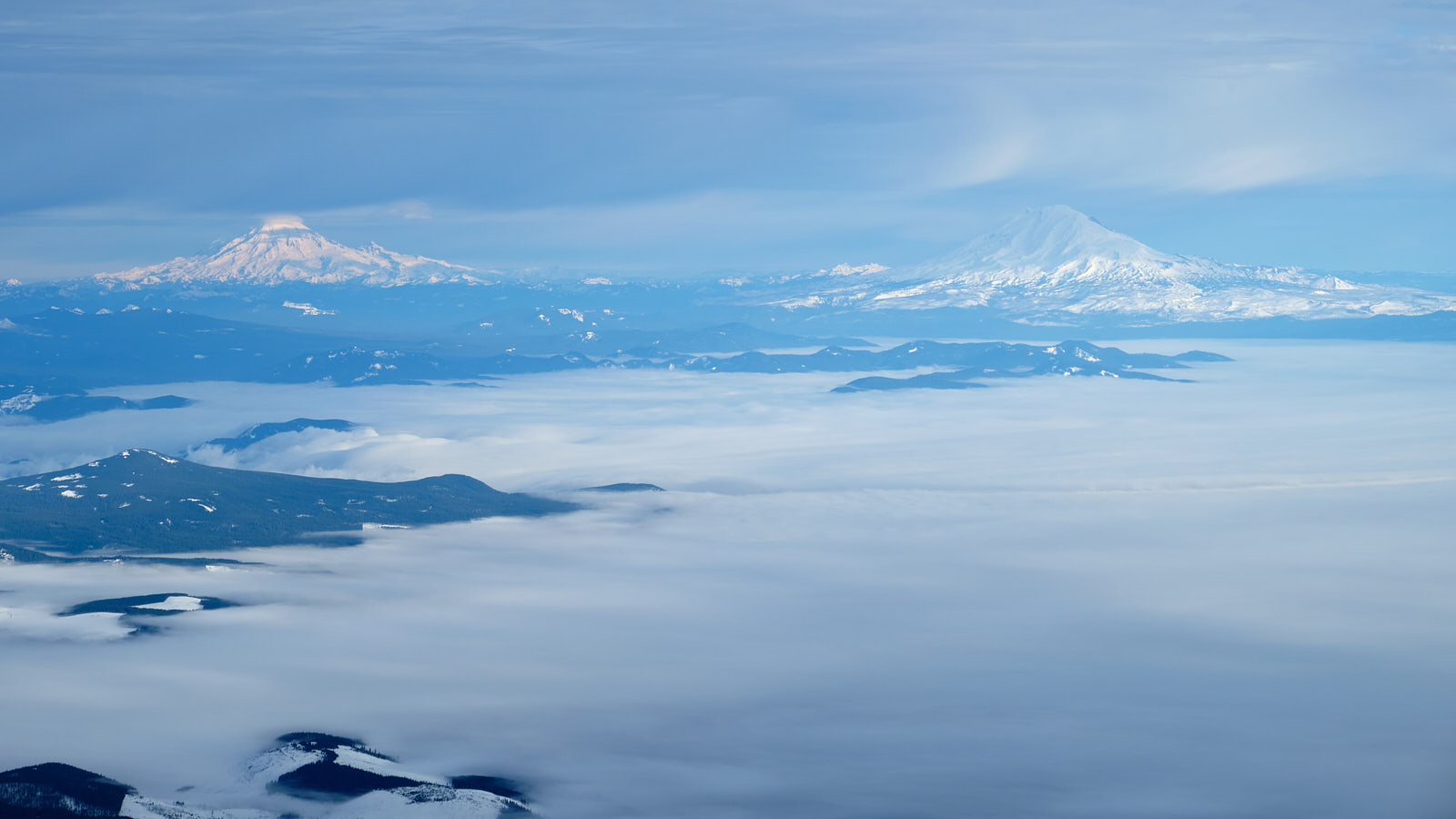
The sky was finally starting to light up and we got some lovely views of central Oregon’s volcanoes, Mount Jefferson and the Three Sisters.
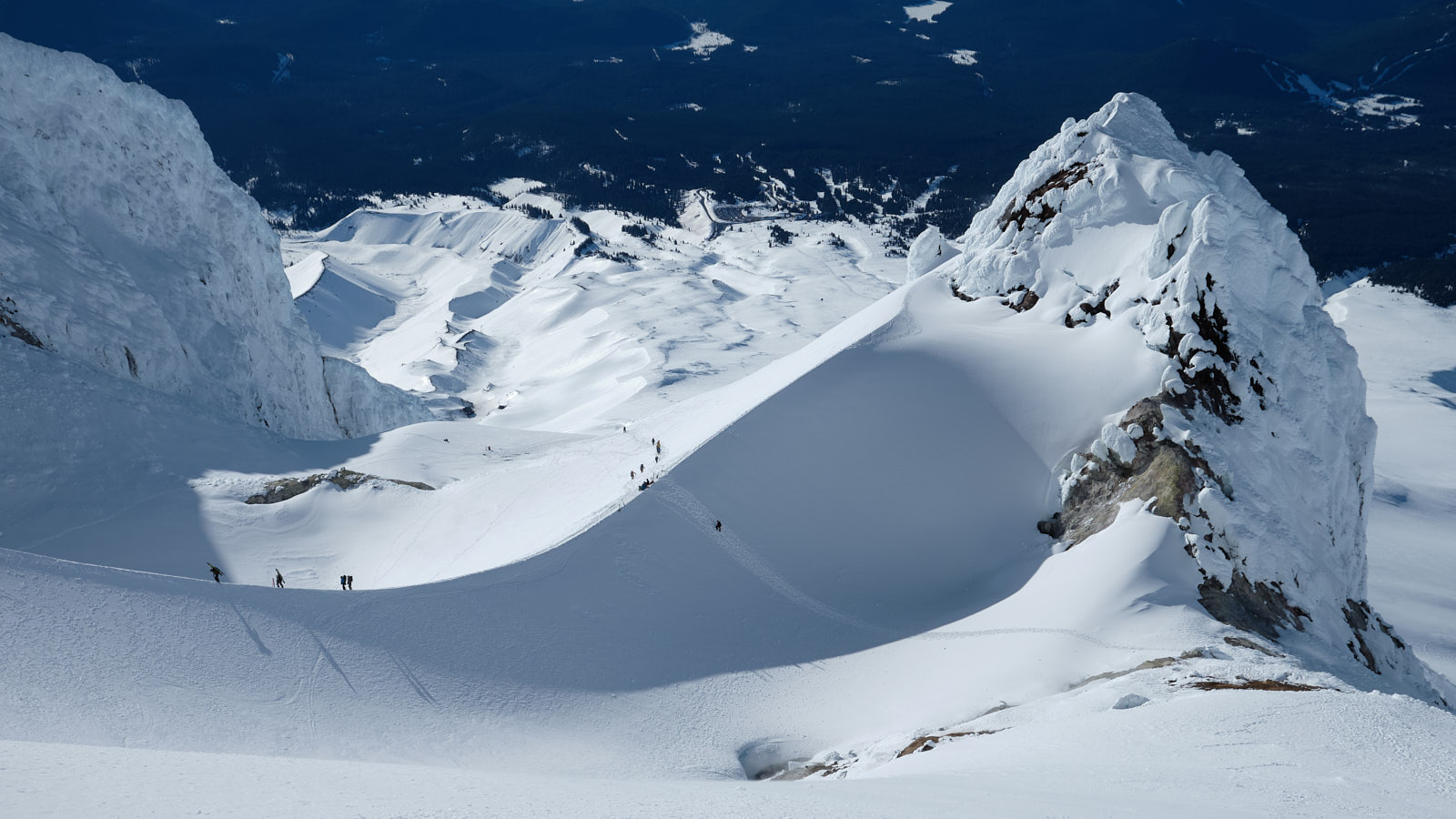
The Devil’s Kitchen / Hogsback area contained some of the coolest terrain features I’d ever seen. The Hogsback is a perfect, narrow snow ridge leading to giant rime ice towers guarding the summit. The area was so nice that I felt it made the 4-hour drive completely worth it even if we didn’t make the summit.
This is also the point where the climb gets significantly steeper and more serious, and we’d discussed that we were totally prepared to turn back if we weren’t comfortable with the conditions. We had two options to access the summit: either to ascend the Hogsback and climb through some narrow gullies between the rime ice towers (the “Pearly Gates”) or to traverse to the left and climb the “Old Chute.” Most people were going for the Pearly Gates, but we went for the Old Chute since we’d read it was slightly less steep.
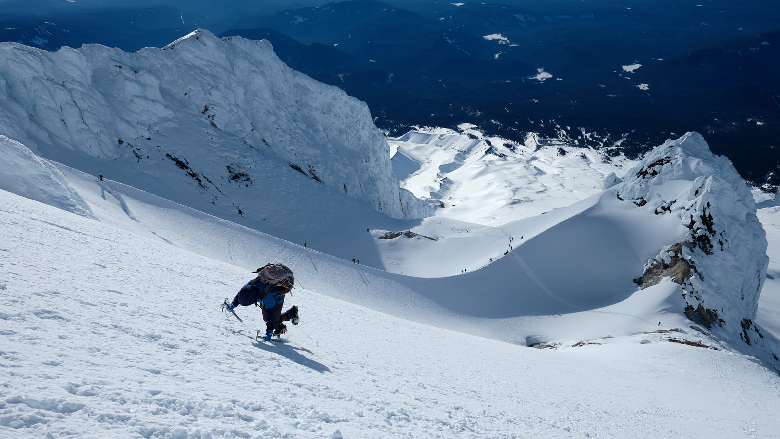
This was our first time on snow this steep and we’d each borrowed an extra ice axe from our friends. We were both climbing with double straight-shafted axes, which aren’t ideal for steep snow (curved shafts would have been preferable), but they did the job. When climbing up towards the Old Chute, I repeatedly plunged the shaft of each axe into the snow so I always had a solid handle to hold onto. This method was very secure but slow, since re-planting each axe takes time.
Partway up the slope, Tim’s trekking pole fell off his pack and a climber behind us caught it. We watched, impressed, as she frontpointed seemingly effortlessly up the slope to catch up and give it back to Tim, using the picks of her axes to climb. We could definitely benefit from more mileage on steep snow to improve our confidence and technique!
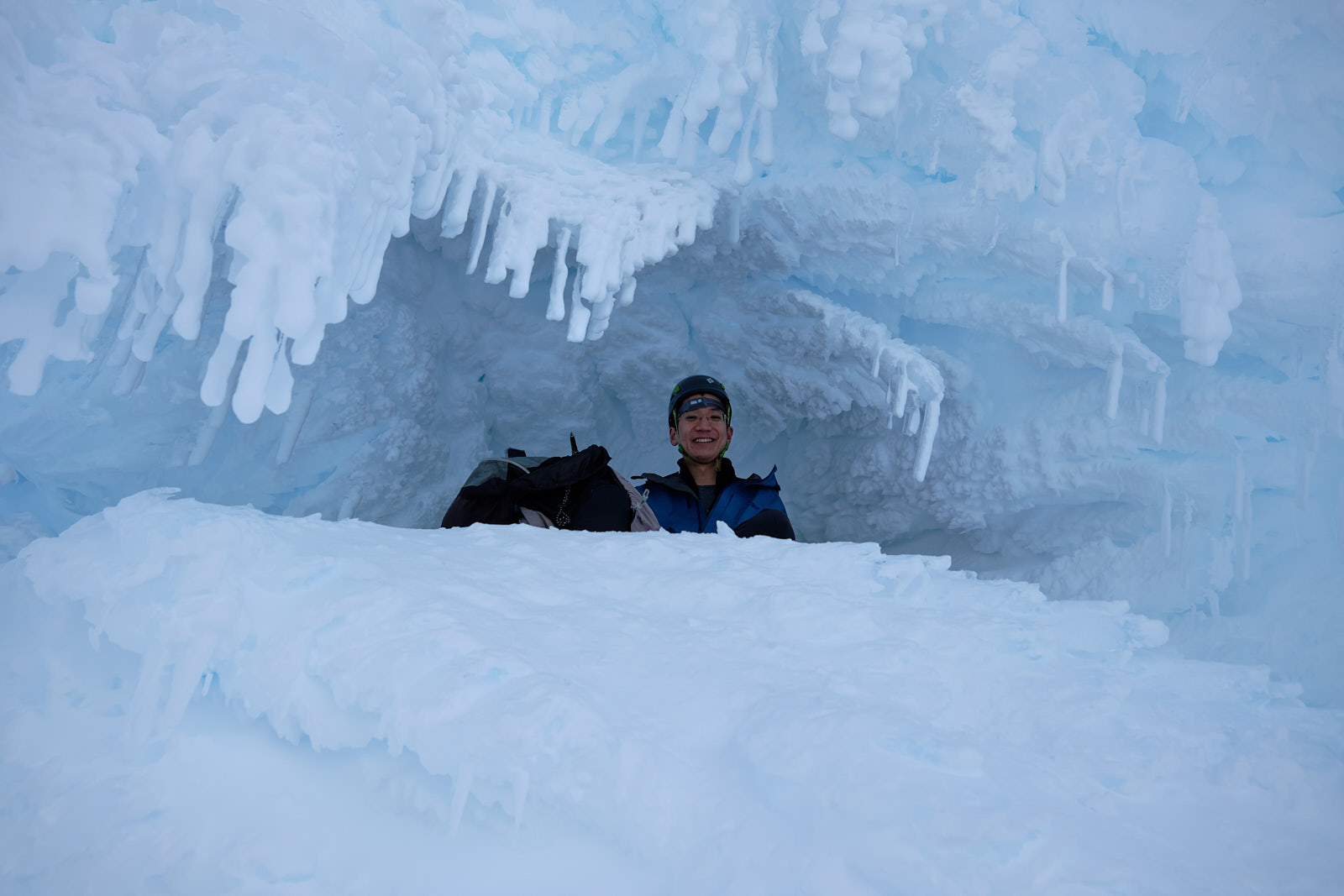
We hit a traffic jam at the Old Chute as there wasn’t space for both ascending and descending climbers. Here we got pelted by some ice kicked loose by downclimbing folks above, and I was glad to have a helmet on. I made a mental note to be careful about kicking down ice when we came down later. Tim found a neat little rime ice cave to hang out in and take cover.
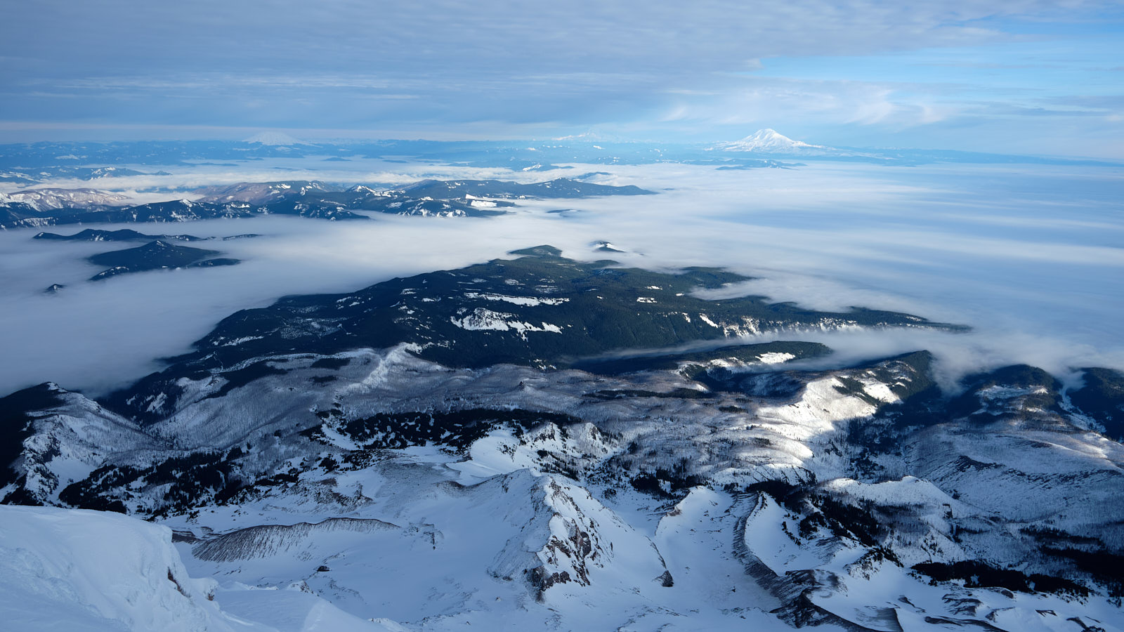
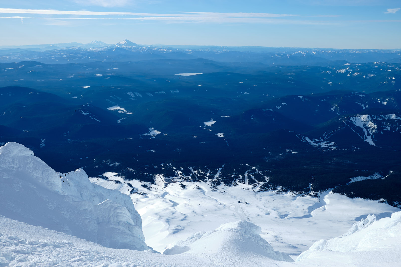
Eventually it was our turn and we frontpointed up the chute. When we crested the summit ridge we were greeted with a multi-thousand-foot sheer drop - the north face of Hood. The weather was great, and we could see St. Helens, Rainier, and Adams to the north. To the south we could easily see the parking lot, just 3 miles (and 5000 vertical feet) away. A short ridge walk later and we were on the summit!
We didn’t hang around too long since we wanted to get down before icefall became a big problem. We traversed back over the ridge and face-in downclimbed the Old Chute. Luckily there weren’t many traffic issues this time. I paused where the slope mellowed out to get some shots of climbers on the hogsback.
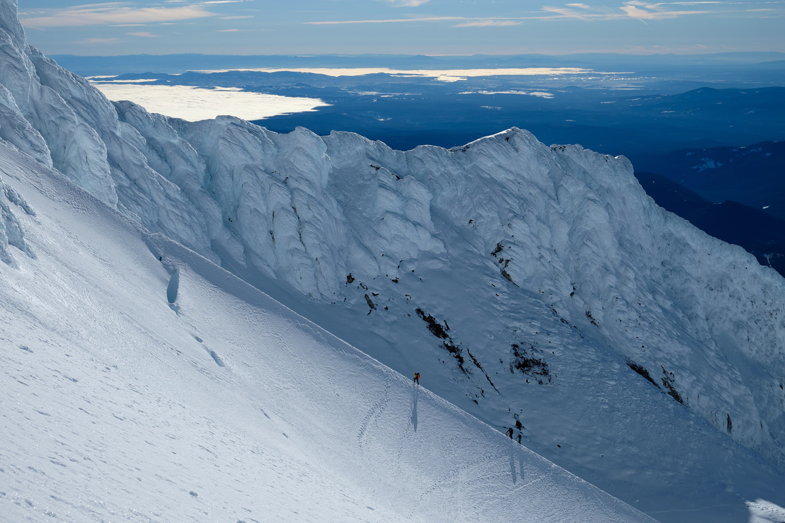
Climbers ascending the hogsback. Notice the gaping bergschrund where the Coalman Glacier separates from the headwall above.
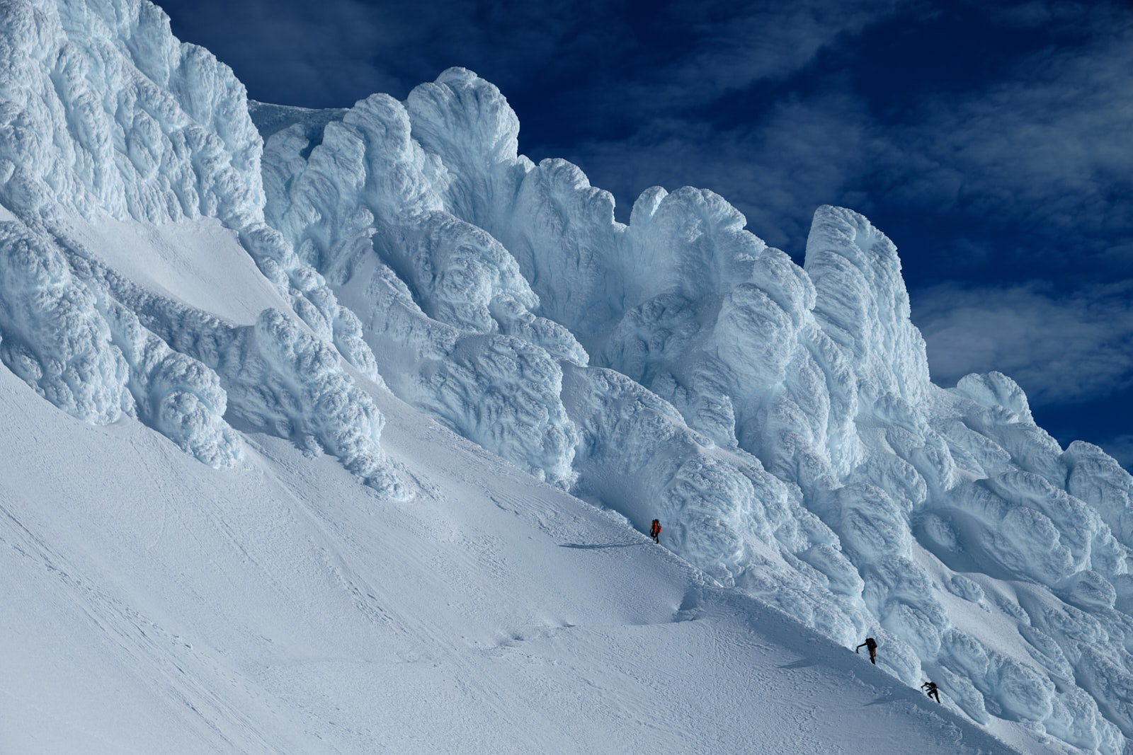
Those same climbers crossing the bergschrund and approaching the rime towers of the Pearly Gates. One of my favorite shots from the trip.
We got back to the Hogsback and while the trip wasn’t over, the hard part was done and we just needed to slog 4000’ back down to the car.
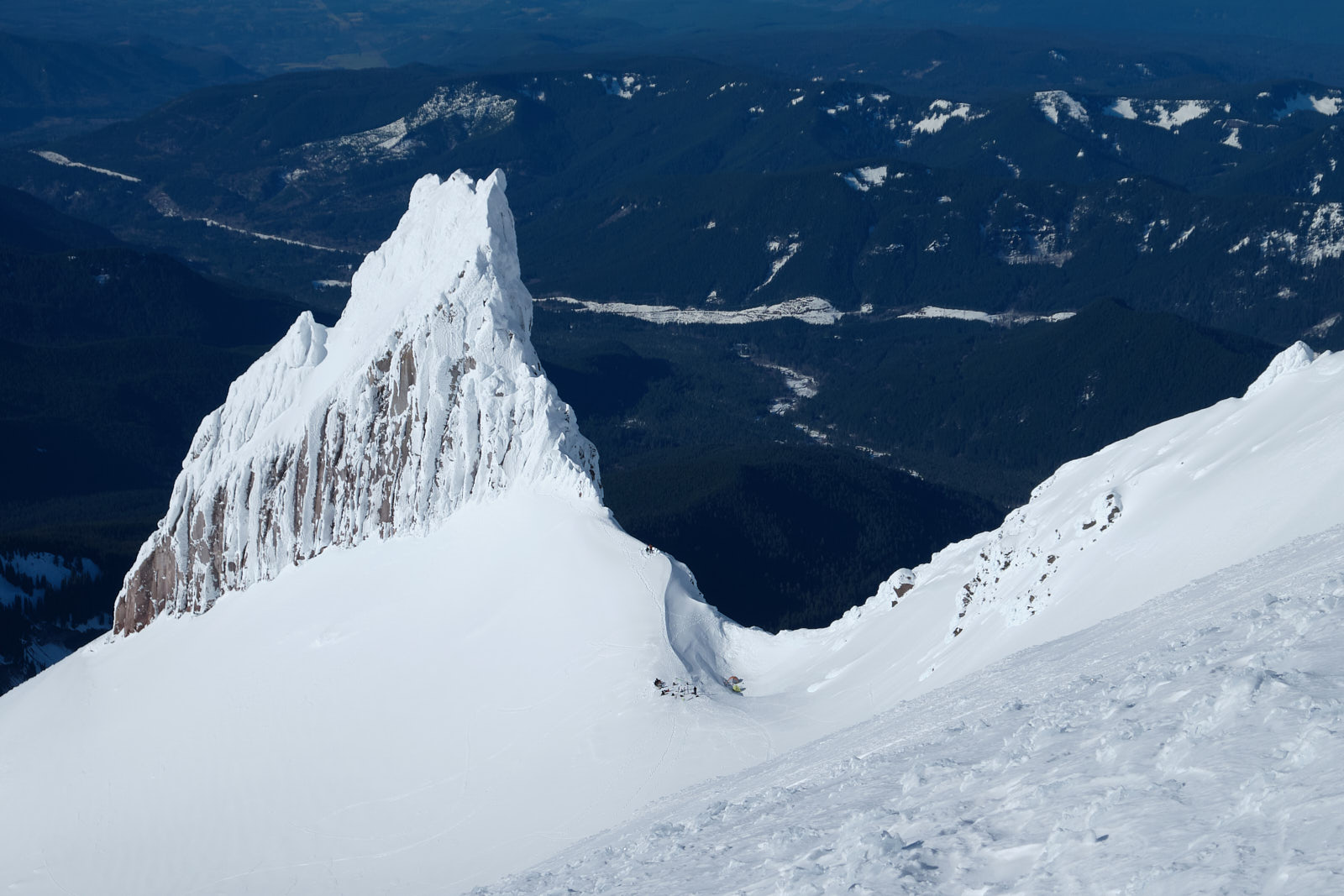
Illumination Rock, a prominent protrusion southwest of Hood's summit. Illumination Saddle to the right is the usual camp for climbers attempting west-side routes up the mountain.
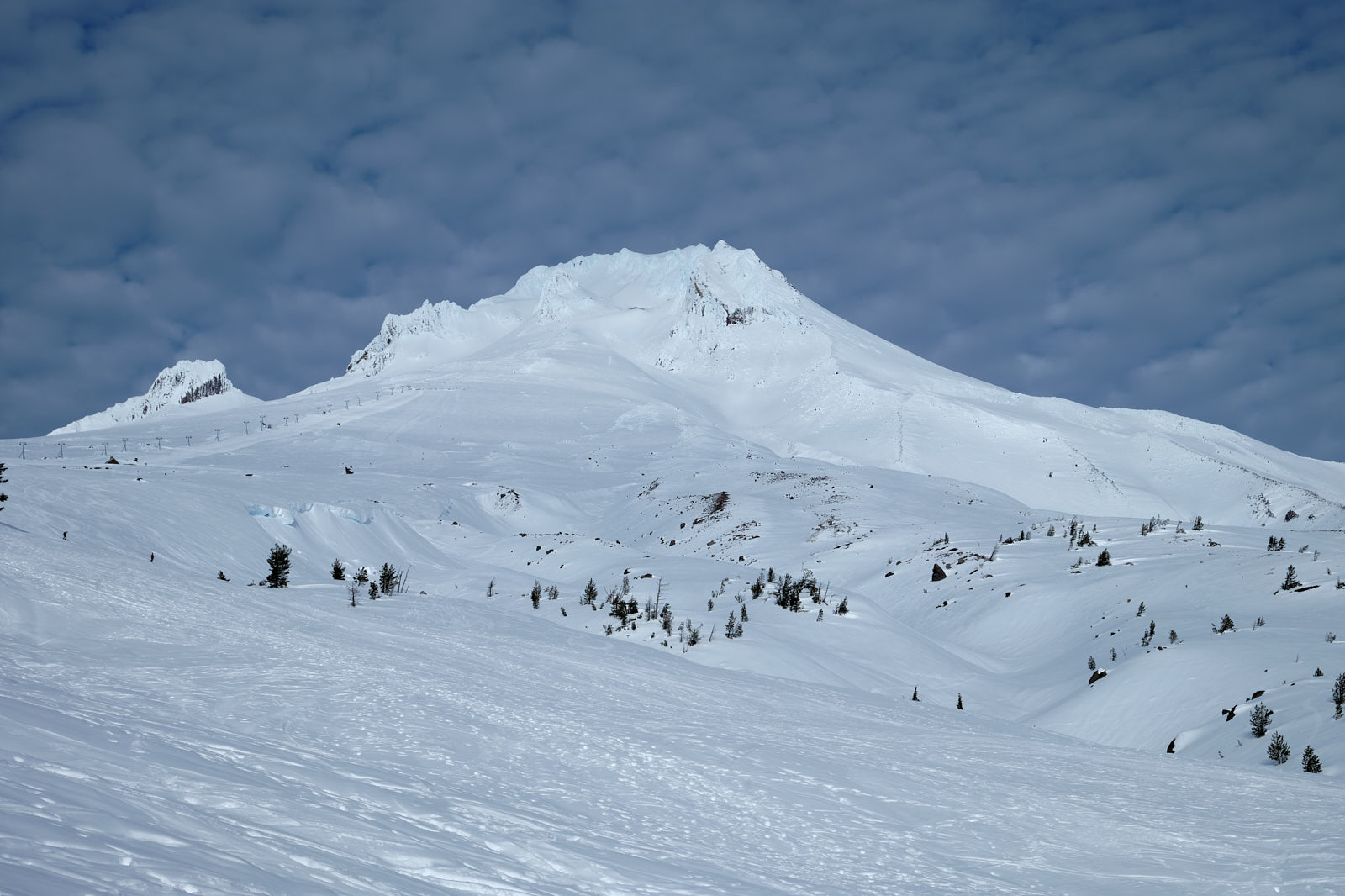
Looking back at Hood from the parking lot. We could see our entire route to the summit, which is always cool!
Overall, Hood from the south side was a 5-star adventure with great views and a step up in technicality from anything we’d done before. I’m sure I’ll be back some day either to try a different route to the summit or just to enjoy the scenery of this beautiful mountain.
